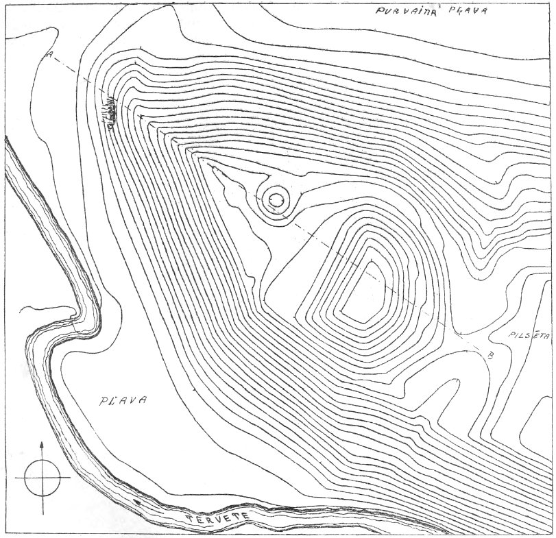
Survey scale 1:1000. Contour interval = 1m. Surveyed on July 28, 1923.
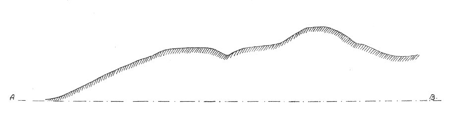
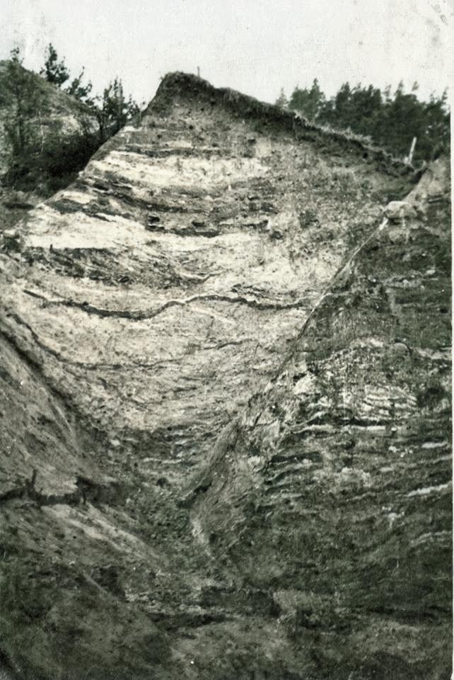
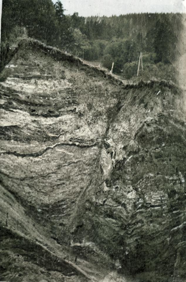
Section drawing of Cukurkalns, A to B. Scale 1:1000.
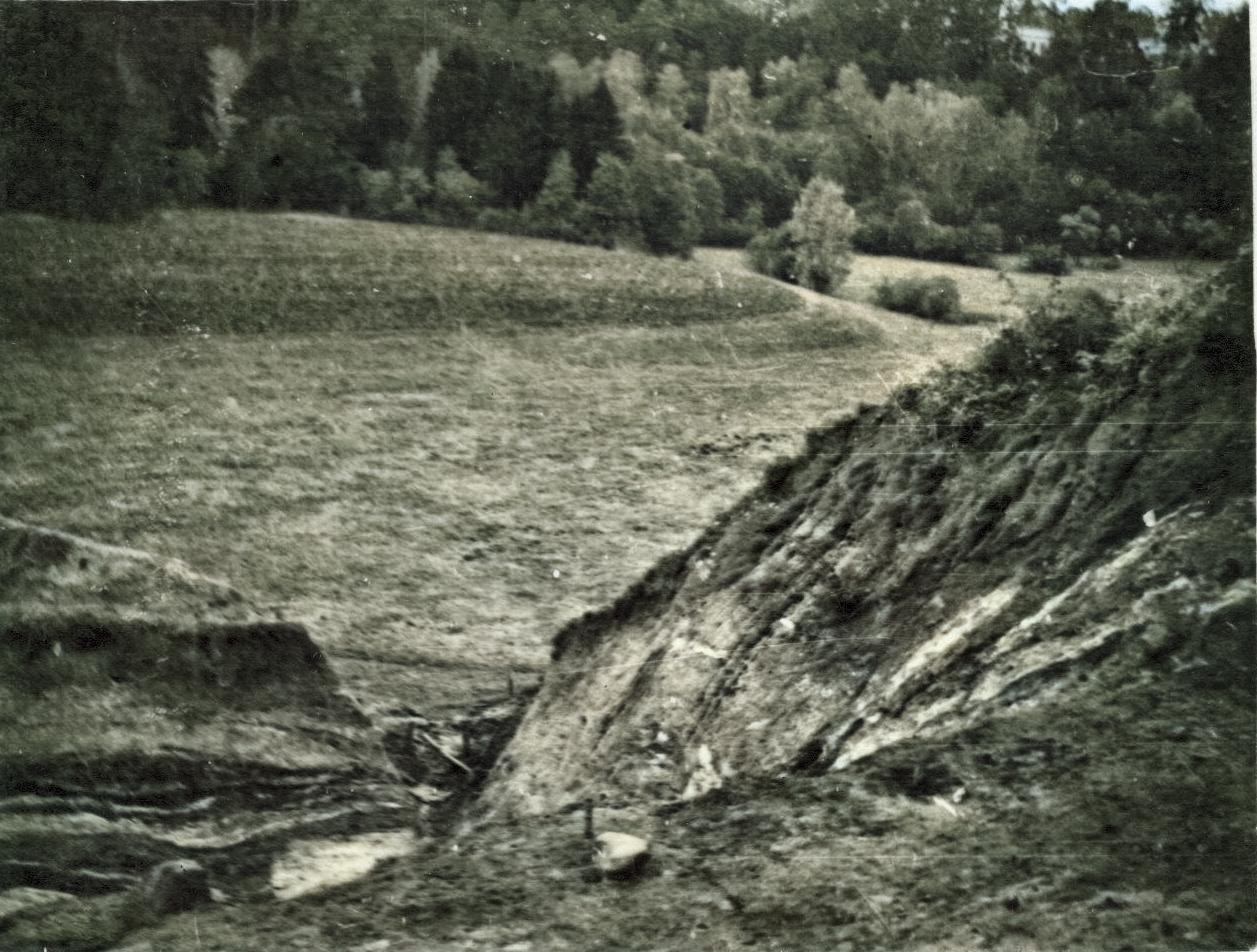
Cukurkalns (“Sugar Hill”) is the most notable hillfort of Zemgale. It is located next to Kalnamuiža, on the right bank of the Tērvete river. Together with its surrounding area, it is listed as a national historical monument. Cukurkalns mound was formed by cutting a 5 m deep ditch across a steep headland. The excavated soil was piled into an equally high mound, thus creating a 10 m artificial rise, which protects the eastern side of the hillfort. The remaining sides of the hillfort are naturally very steep and show no sign of artificial origin. The hilltop is relatively small, triangular. It is situated ca. 20 m above the river and adjacent meadows. A 3 m deep and 5 m wide pit is located near the northern edge of the hilltop and appears to be contemporaneous with the mound. Similar pits have been found in many other Latvian hillforts.
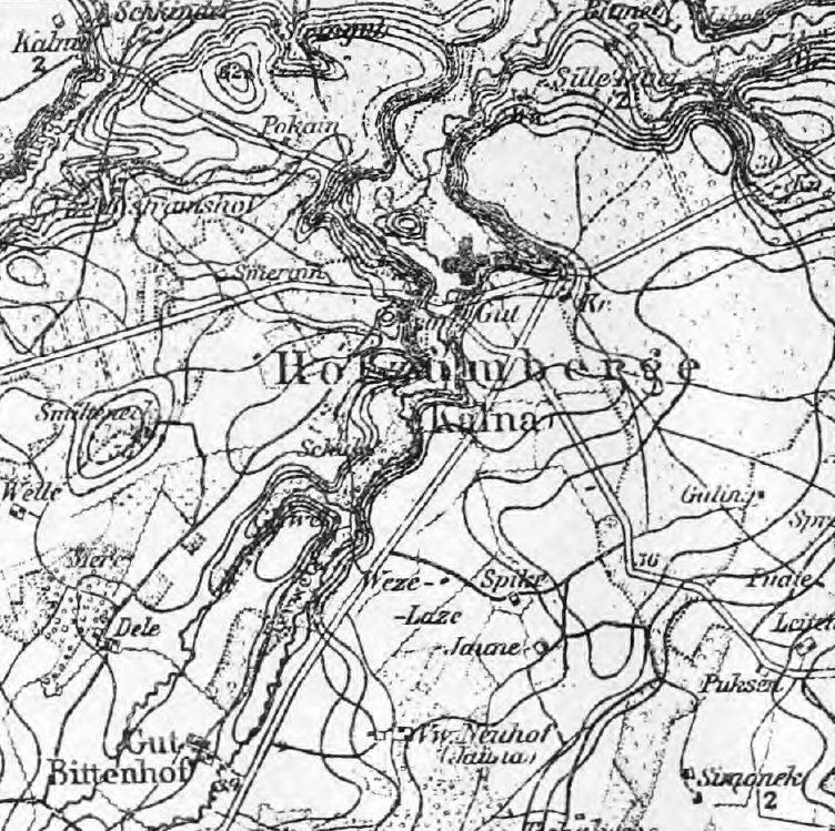
Plan of the Kalnamuiža area.
Years ago, Bielenstein found burnt cereal grains near the earthworks.
Cukurkalns is, without doubt, the location of the Tērvete castle, mentioned in ancient writings. The hillfort enclosure was supposedly positioned on the other side of the ditch, at the location of the current castle ruins, as evidenced by the cultural layer. A place called “Swedish Hill” is to the north of the Tērvete hillfort, across the meadow. Large ditches and earthworks are visible there but without any cultural layer. Supposedly it is the Heiligenberg fortress of the Livonian Order, which was built from timber and later dismantled.
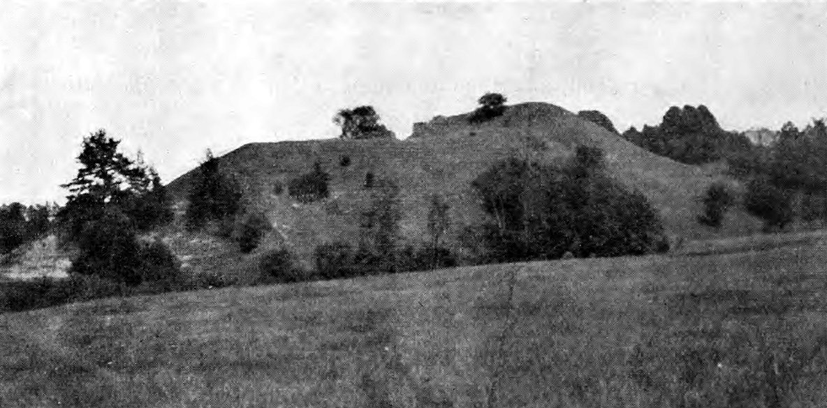
Cukurkalns from the north-west.
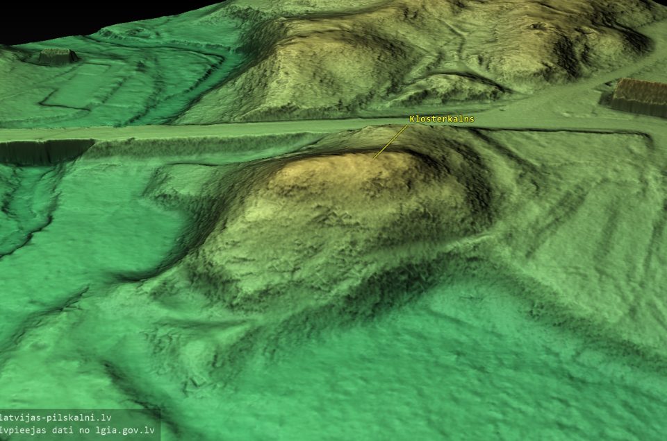
A few hundred steps south of the Tērvete castle mound there is another artificial mound named Klosterkalns (“Monastery Hill”). It is a small, terraced hill. The true meaning of this place has not yet been researched, but it appears to be a burial mound.
Tērvete hillfort has been described in several texts by Bielenstein, Raison, Döring, etc. However, all these sources recount only chronicles of warfare that took place around this castle. Archaeologically, the Tērvete castle mound and its surrounding area are quite unexplored. Several folk legends have been recorded about Cukurkalns. For example, two girls are herding cows on the mound at noon. One of them finds a golden chain. She starts pulling the chain out of the ground. The chain keeps coming out of the ground until her lap is full so she cannot hold any more. She asks the other girl to come and help her. But at that moment the chain goes clanging back into the ground.
- Brastiņš, E. Latvijas pilskalni. Vol. 2, Zemgale un Augšzeme. Riga, 1926
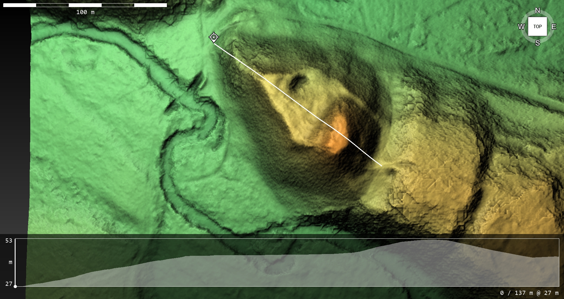
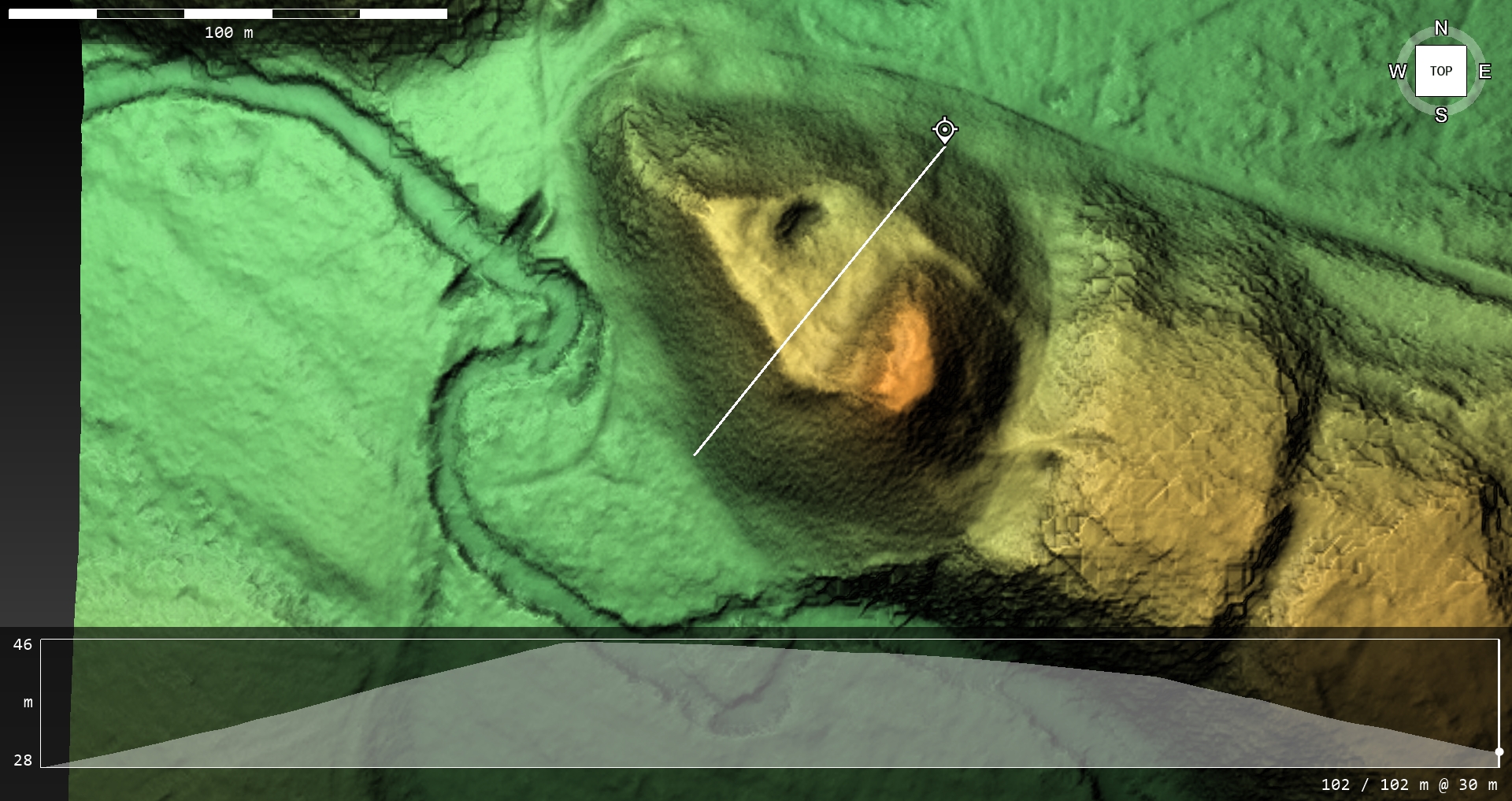
Photo: G.Kalniņš
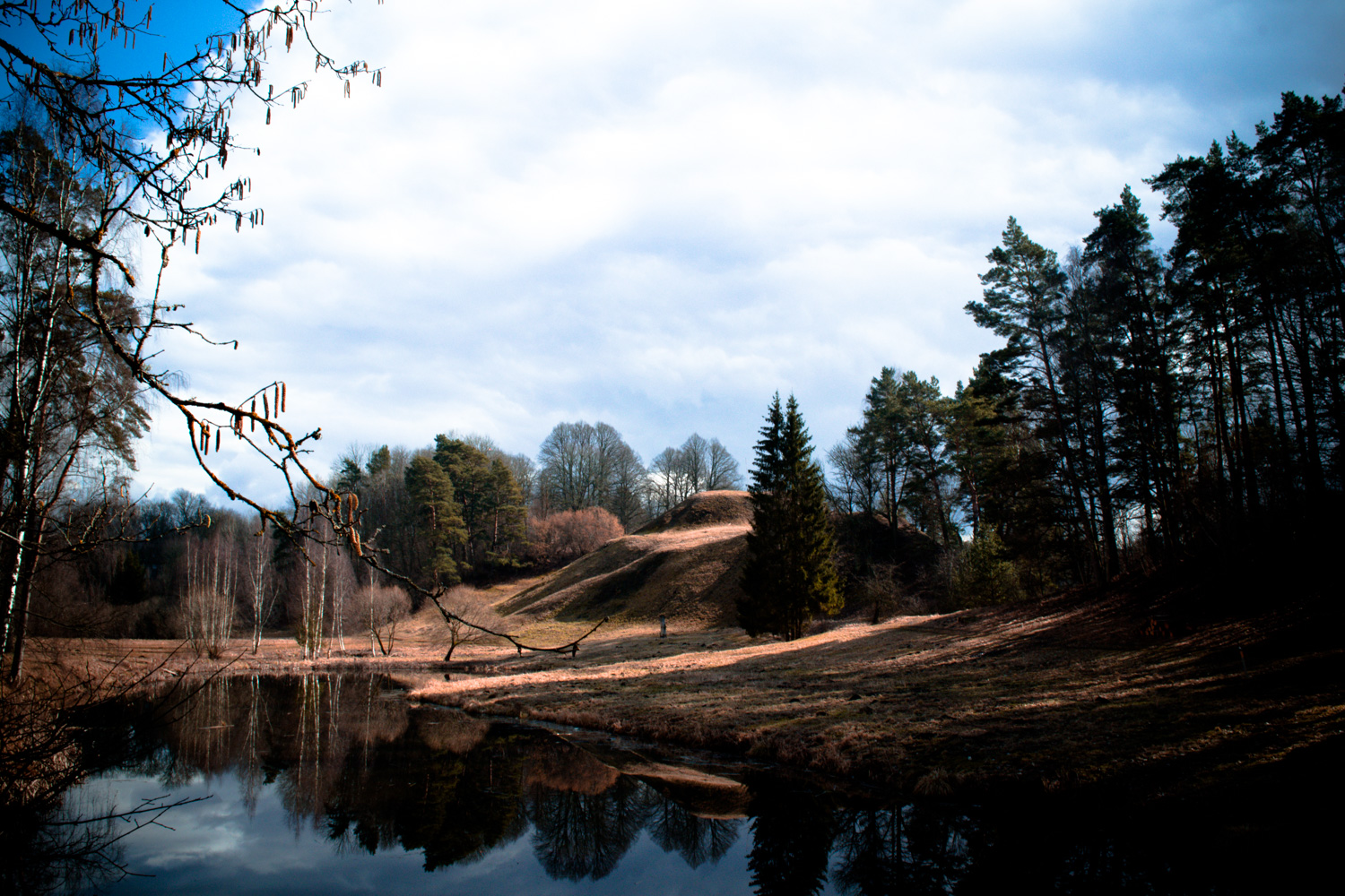
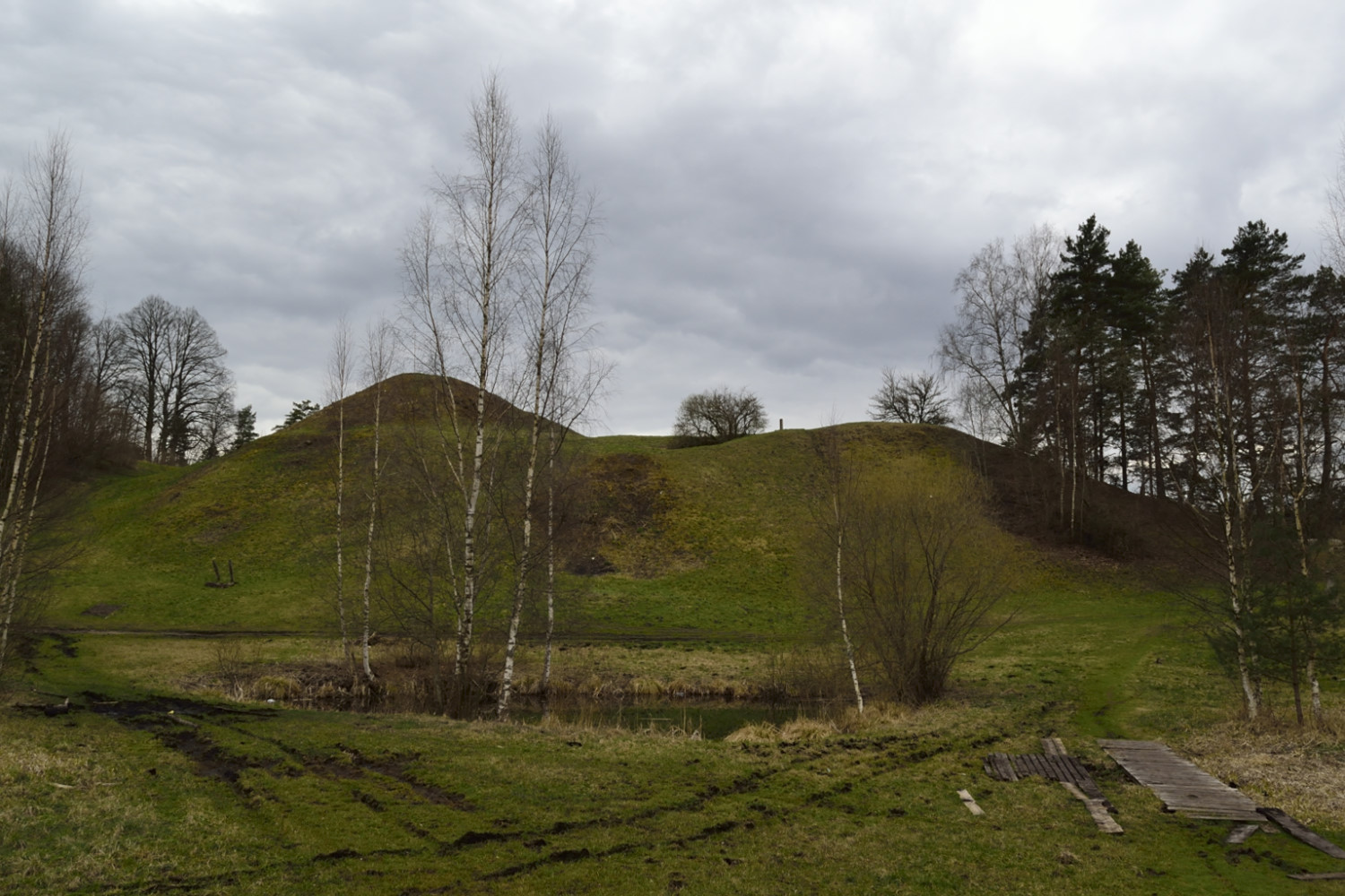
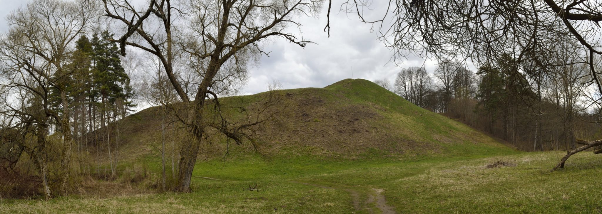
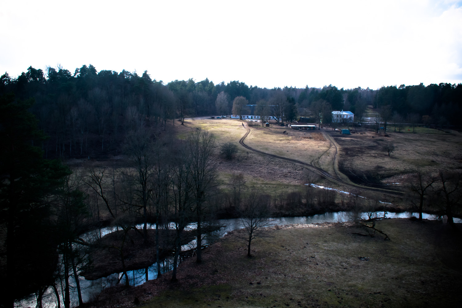
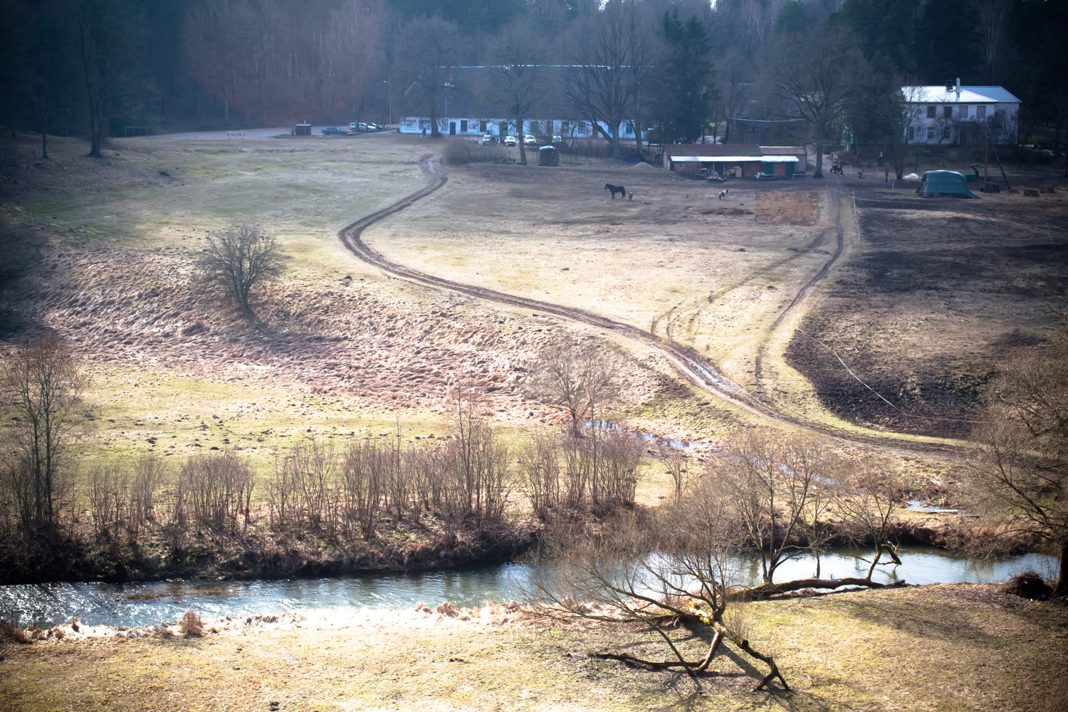
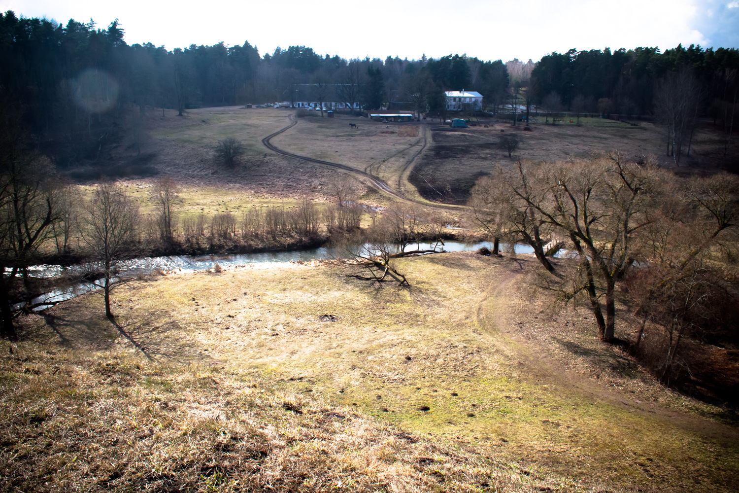
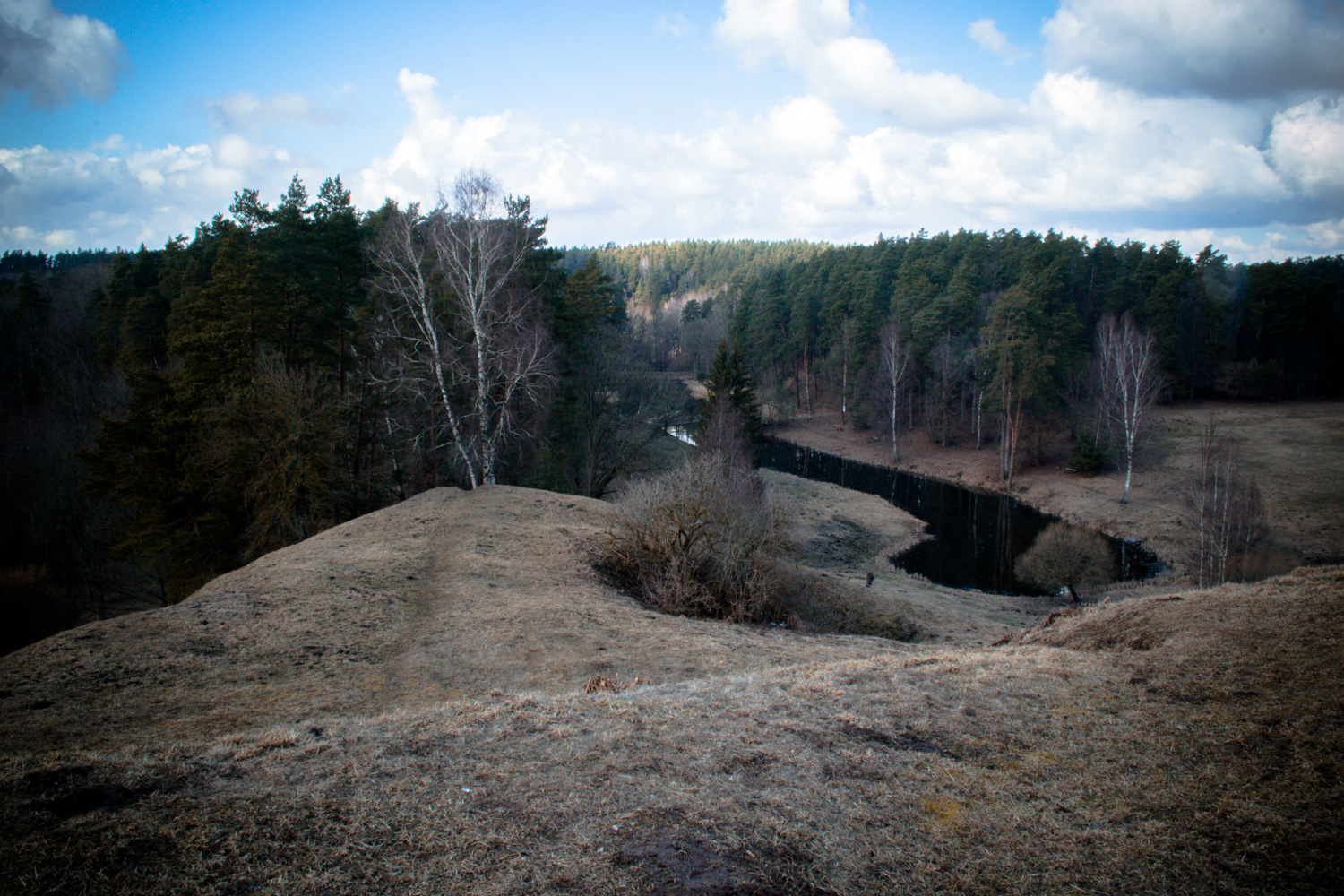
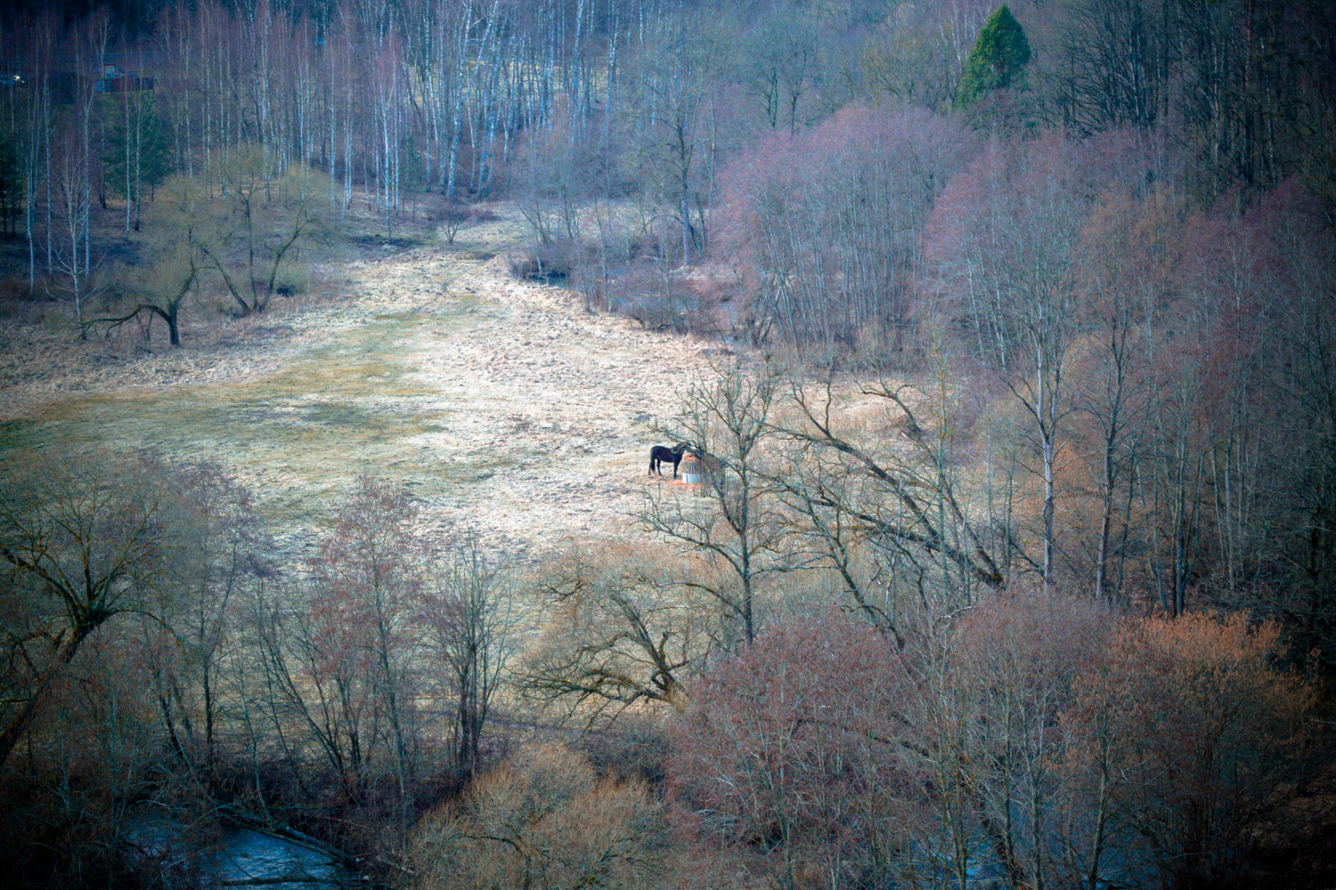
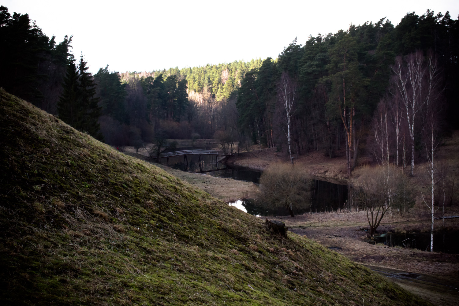
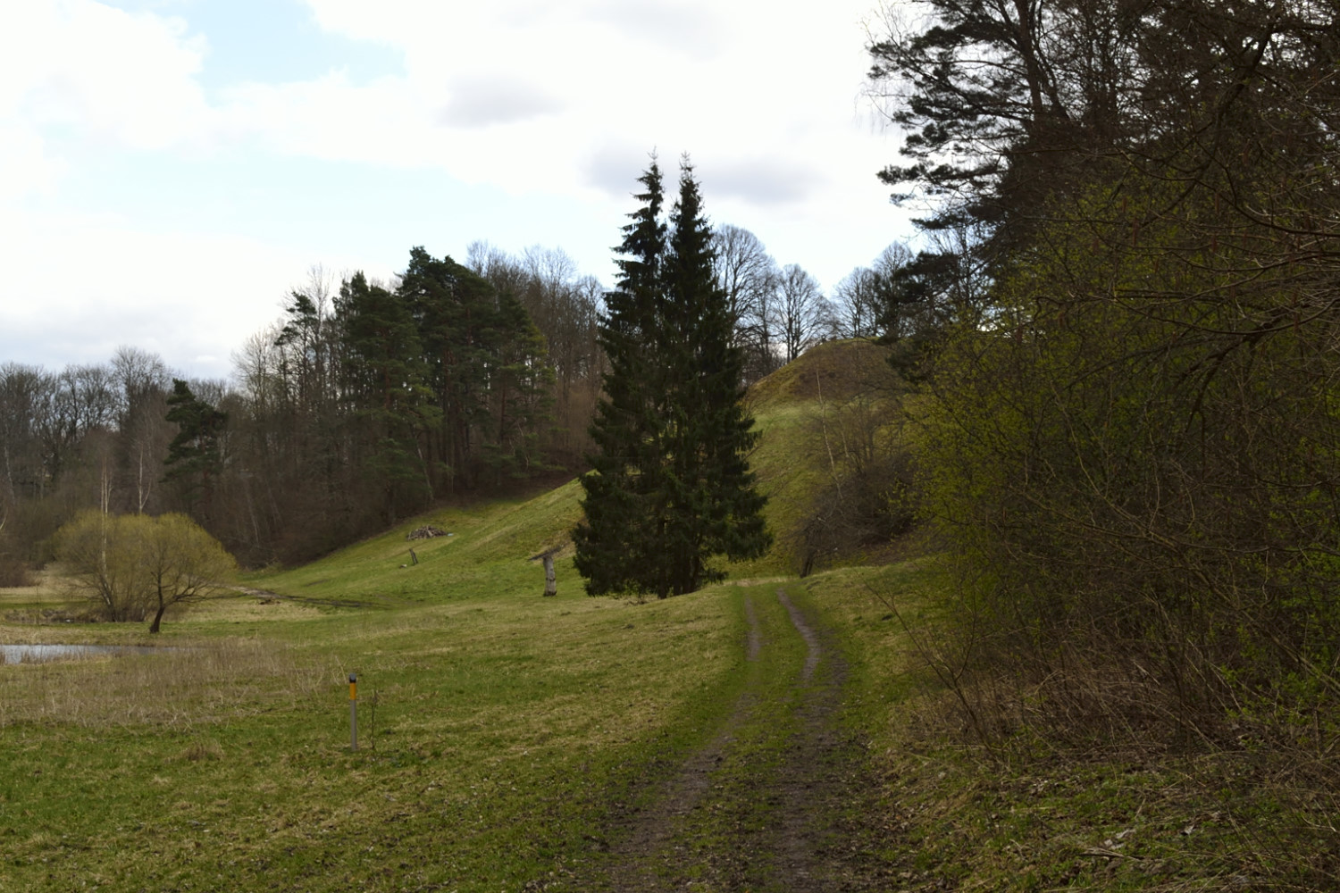
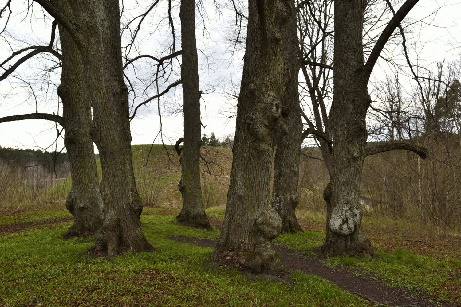
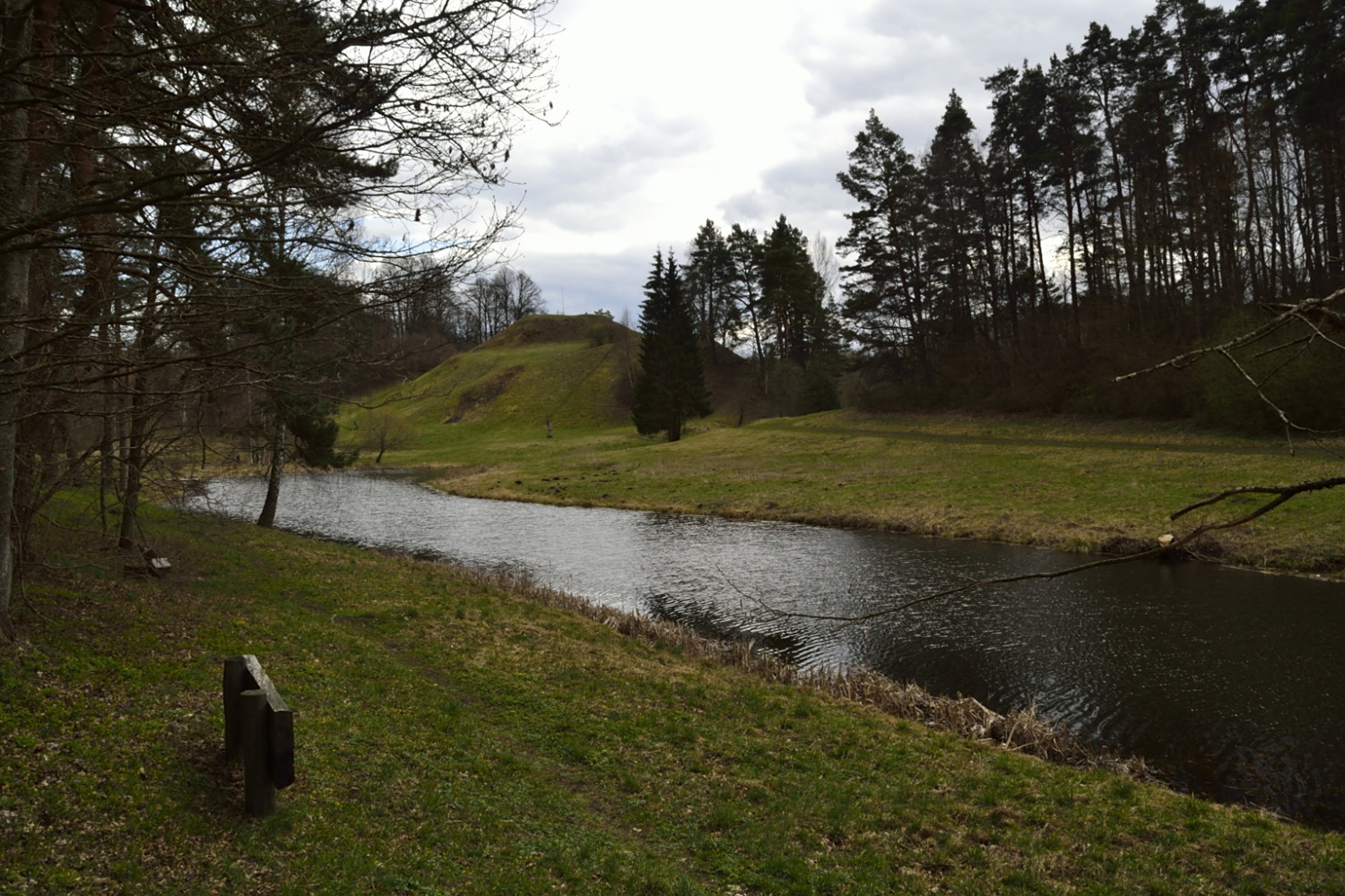
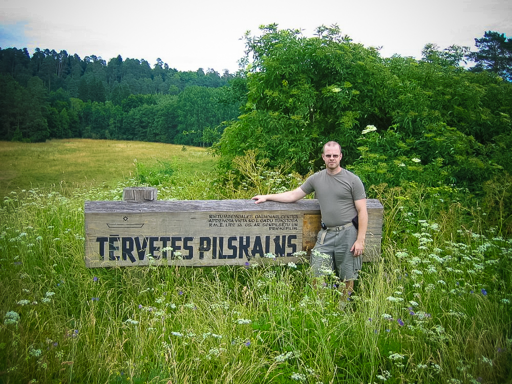
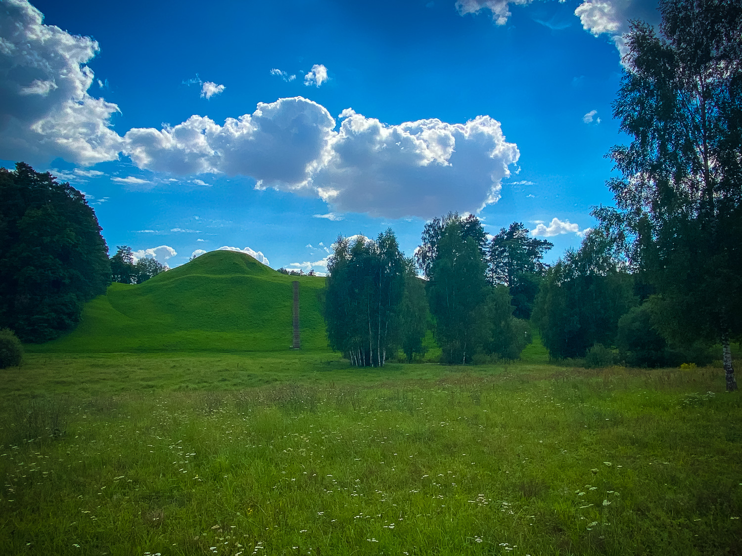
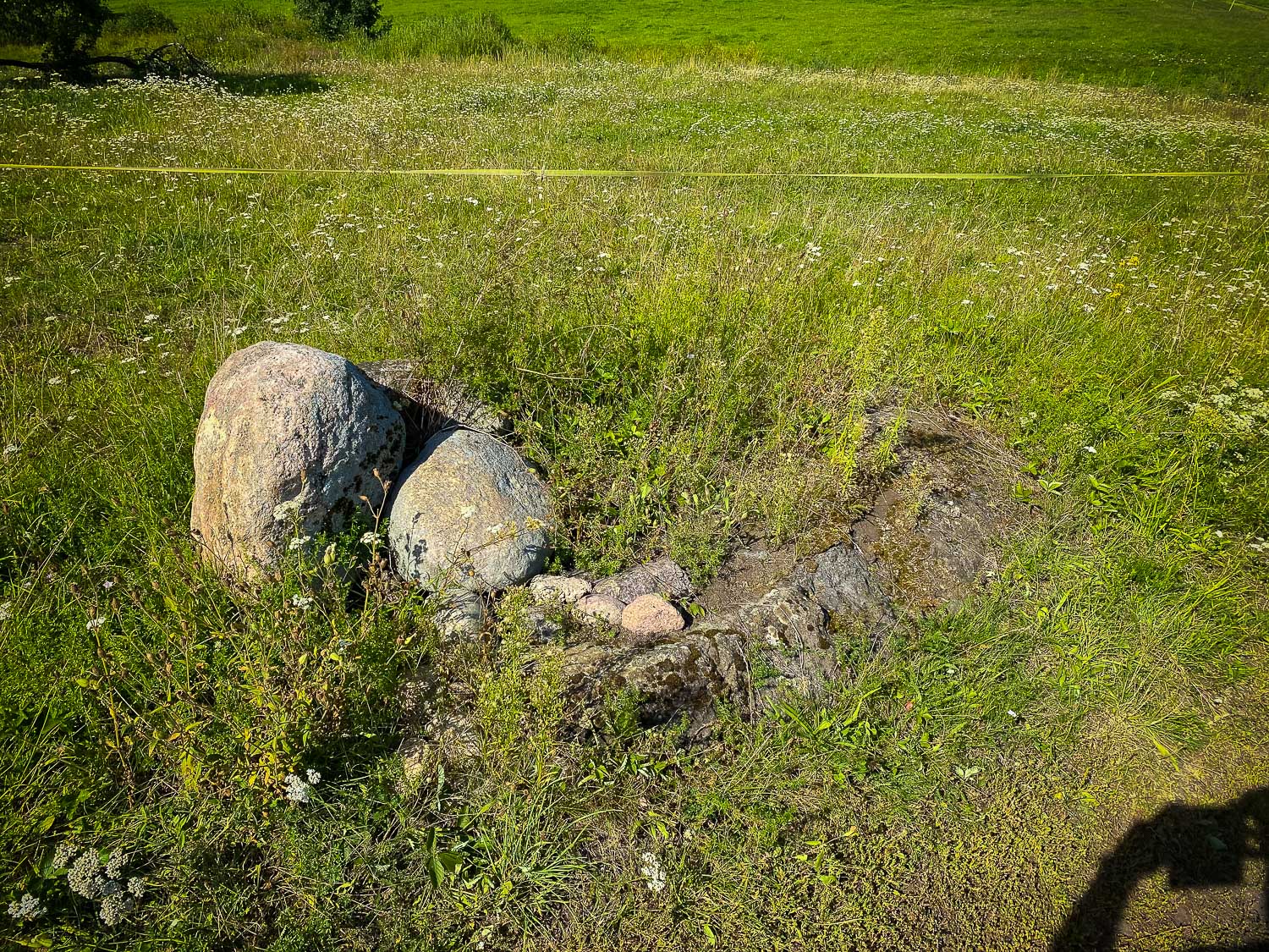

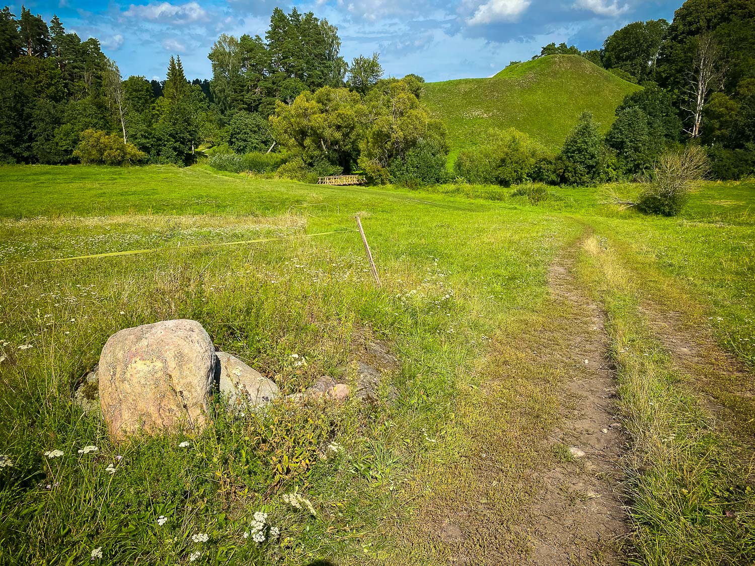
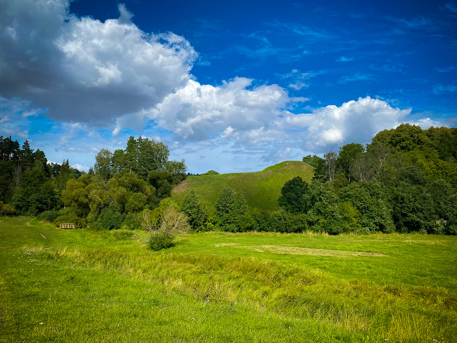
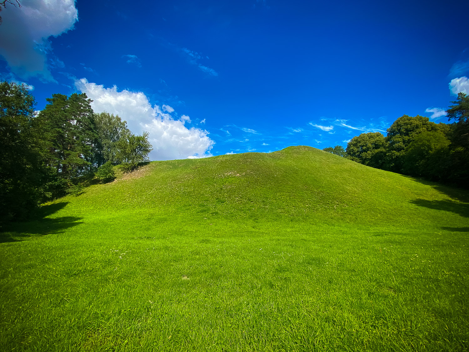
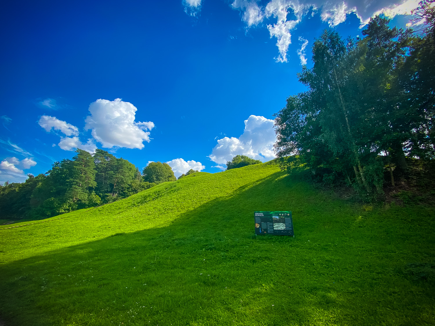
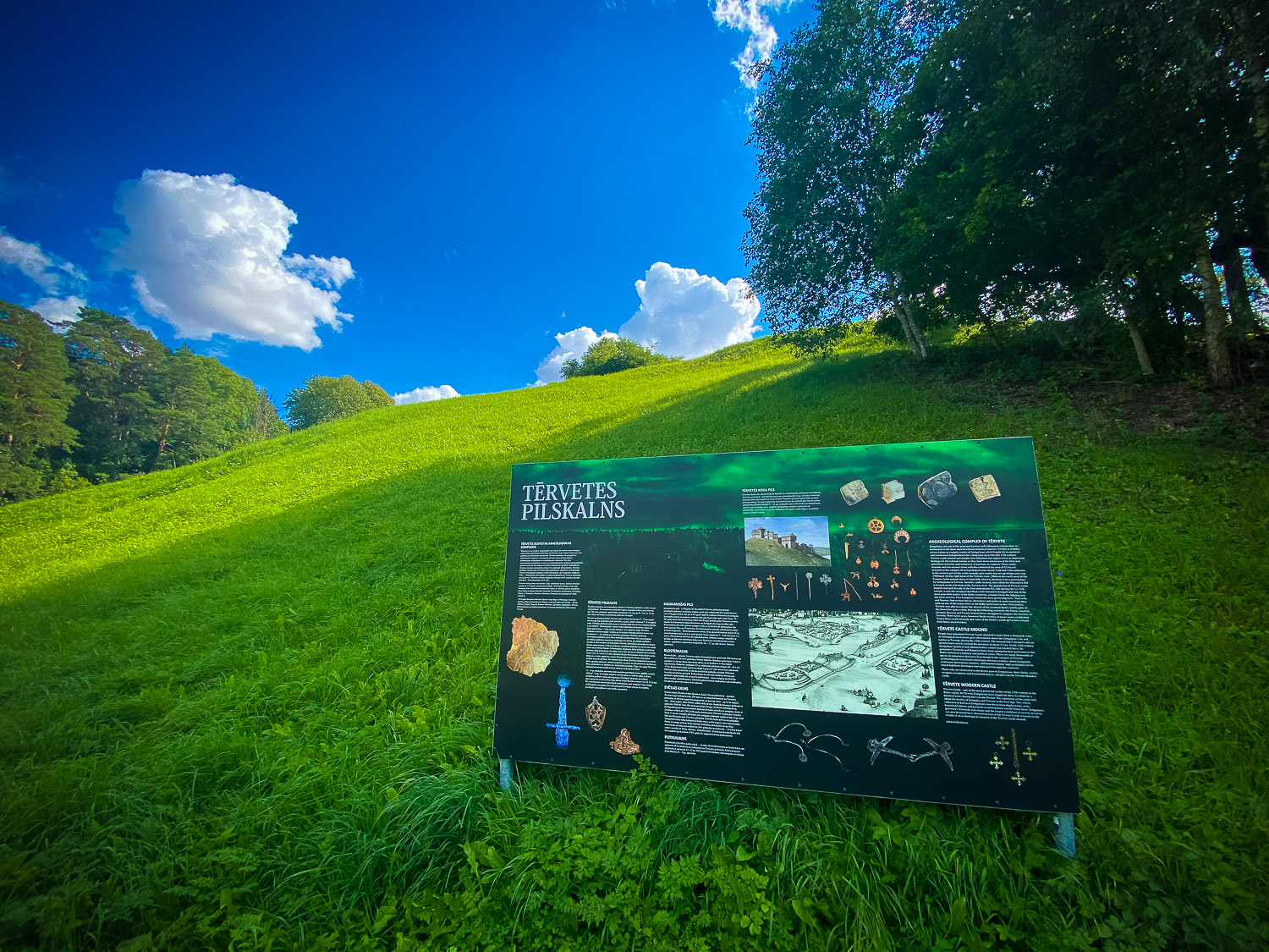
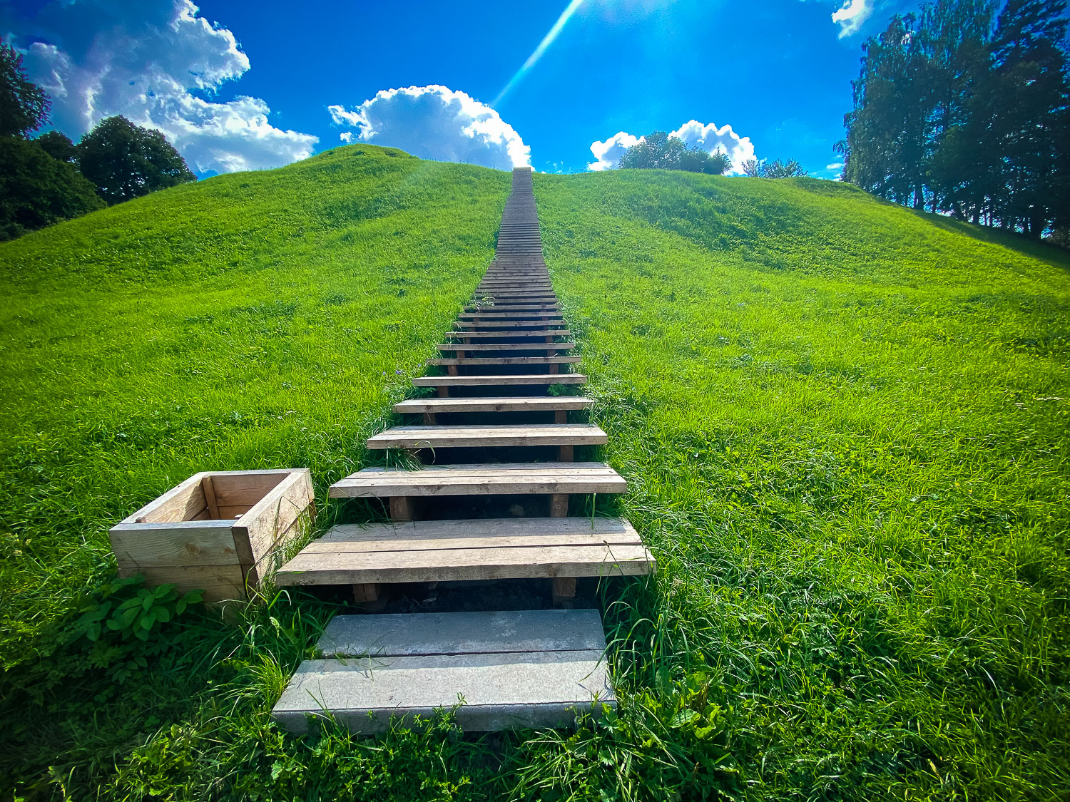
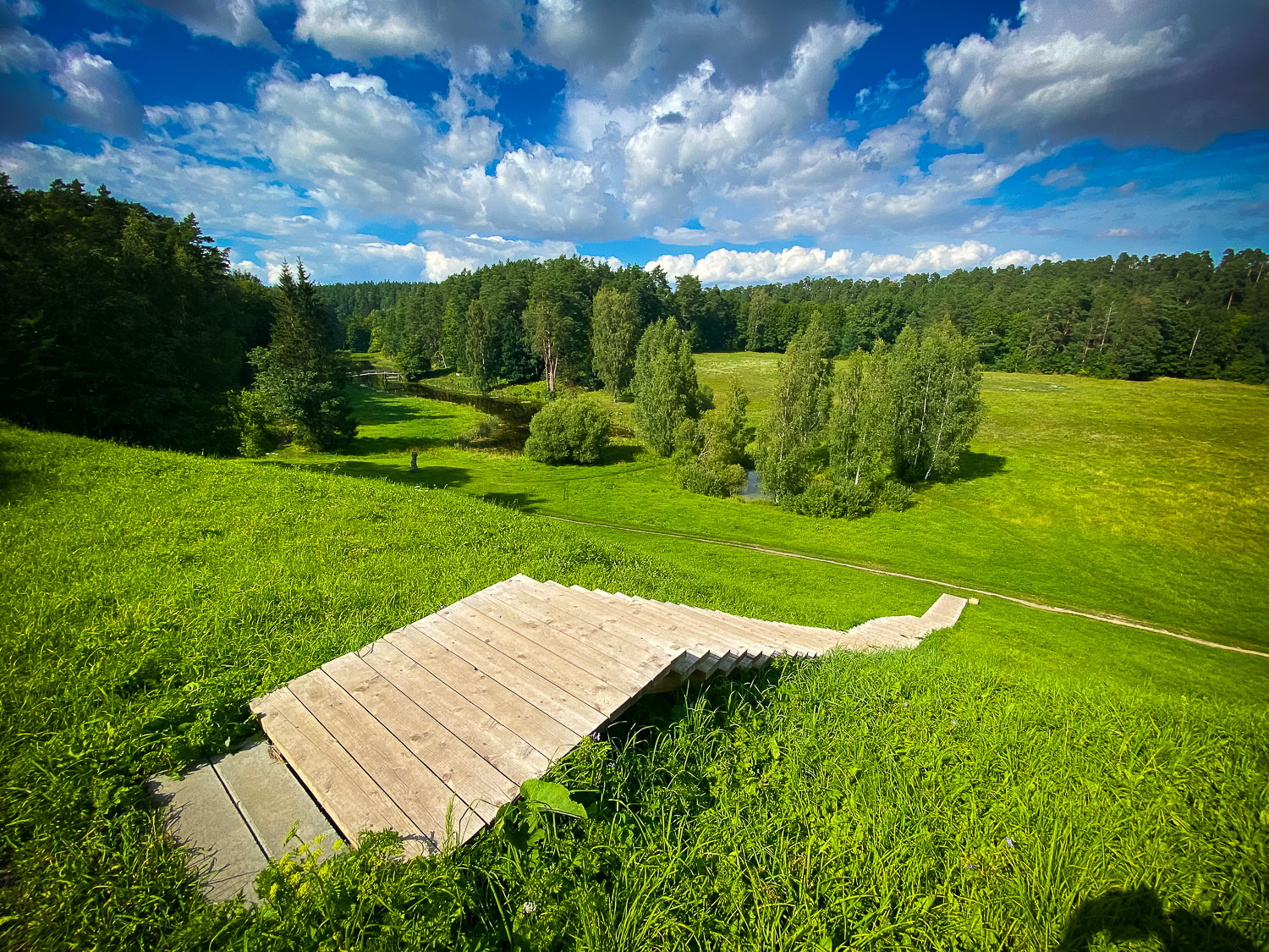
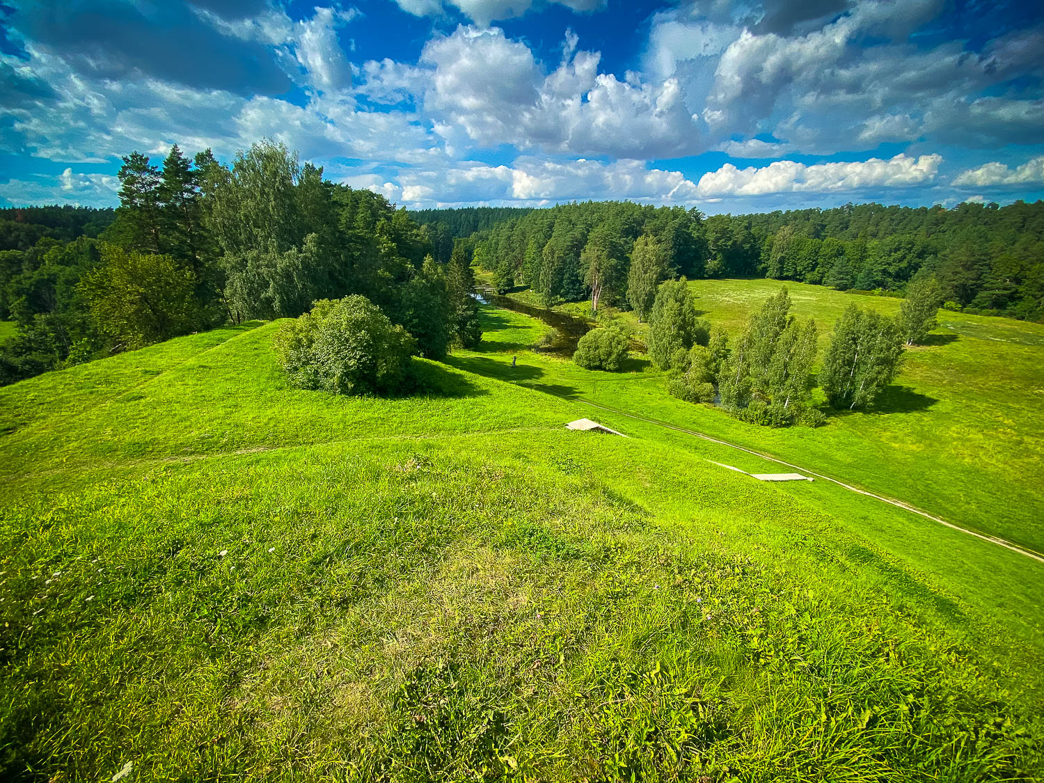
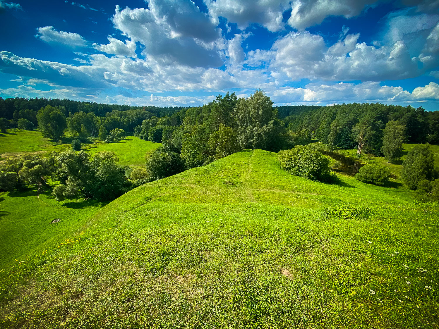
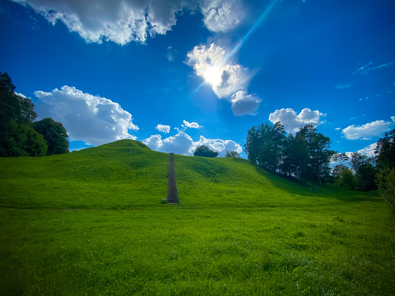
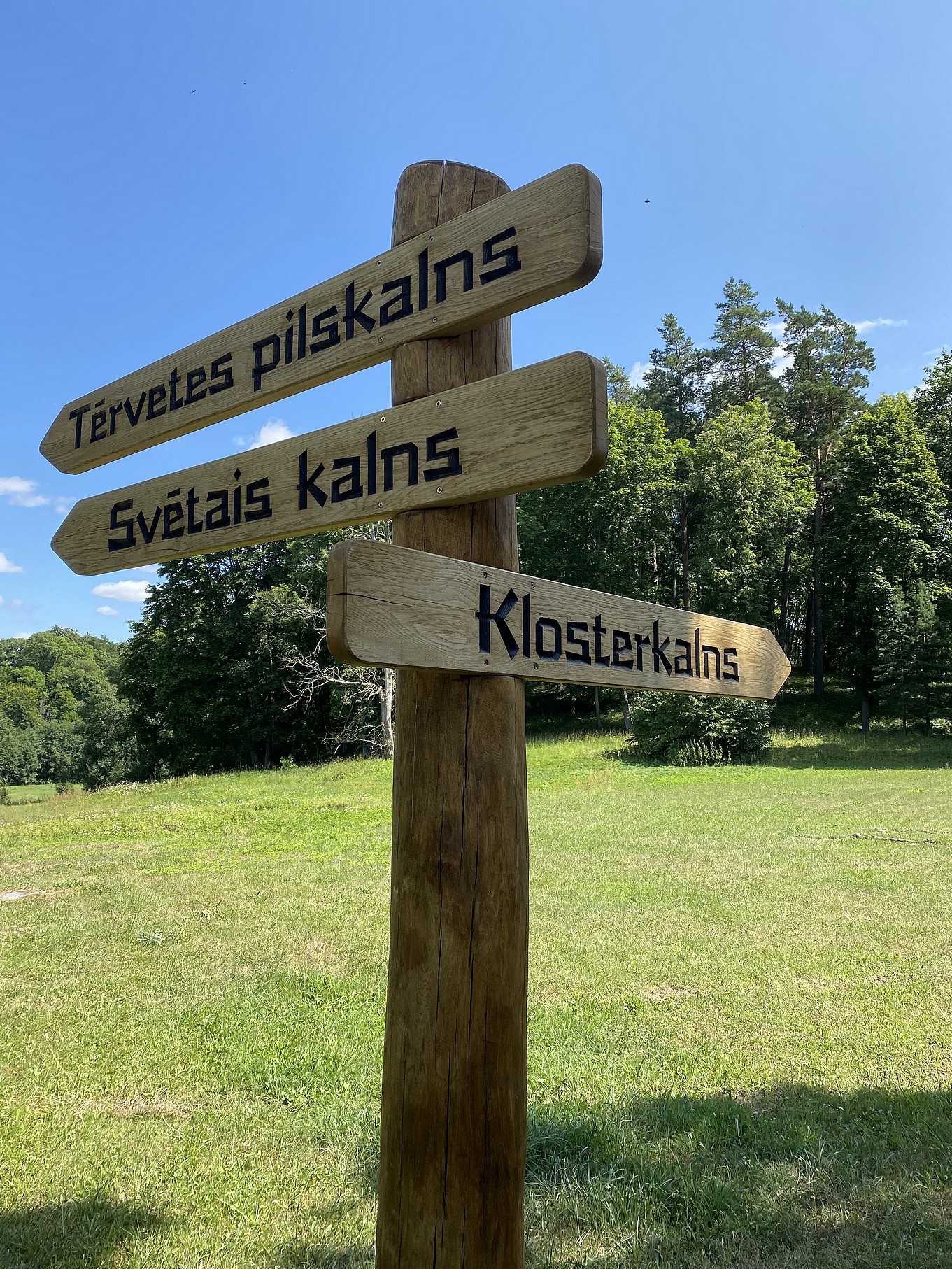
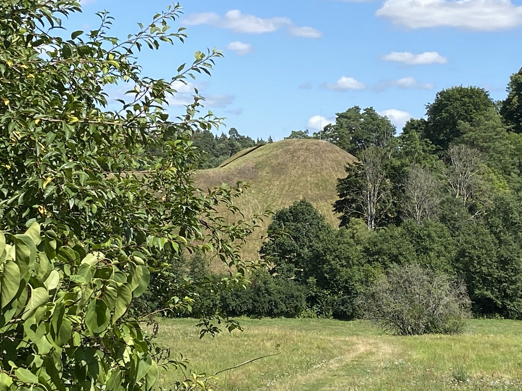
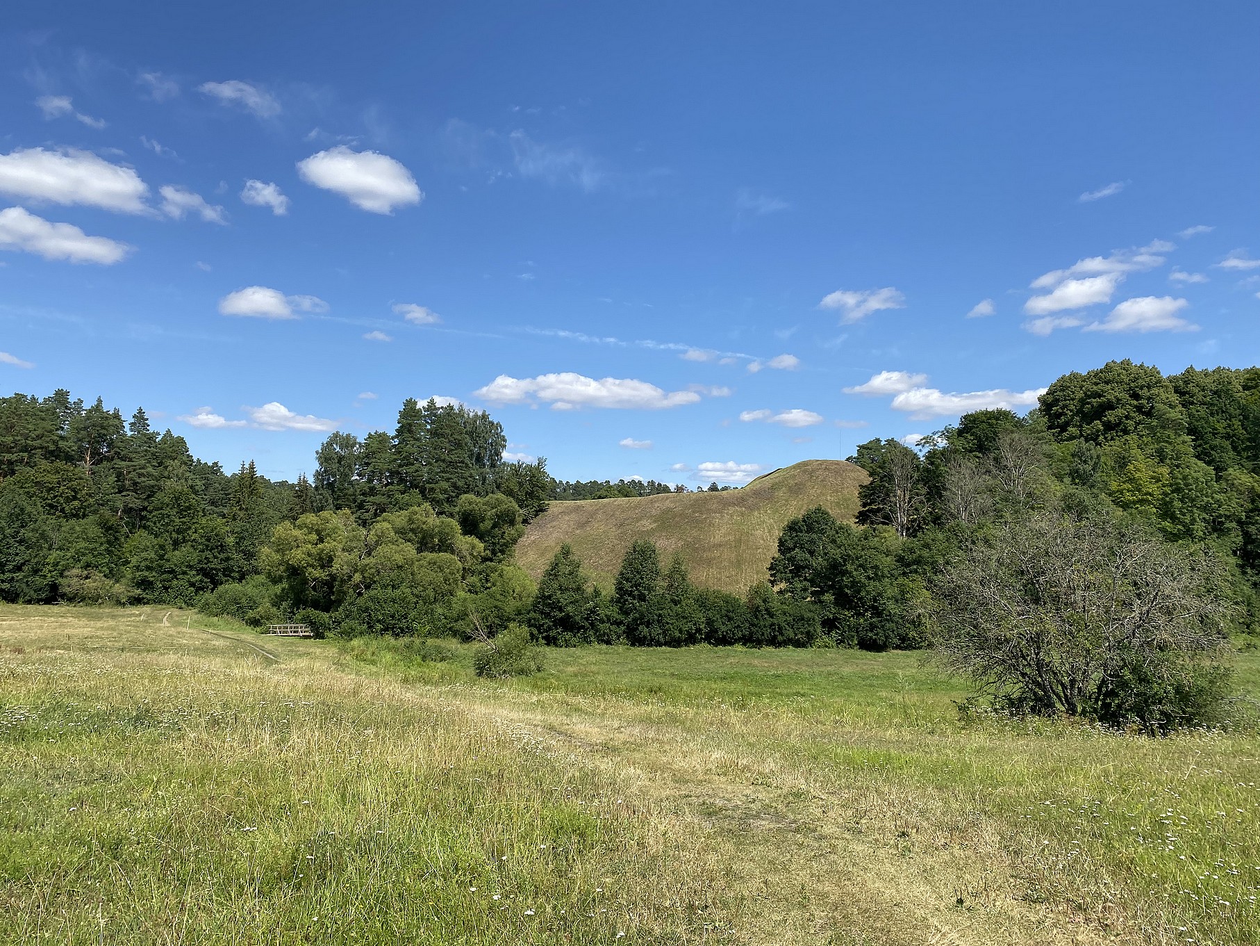
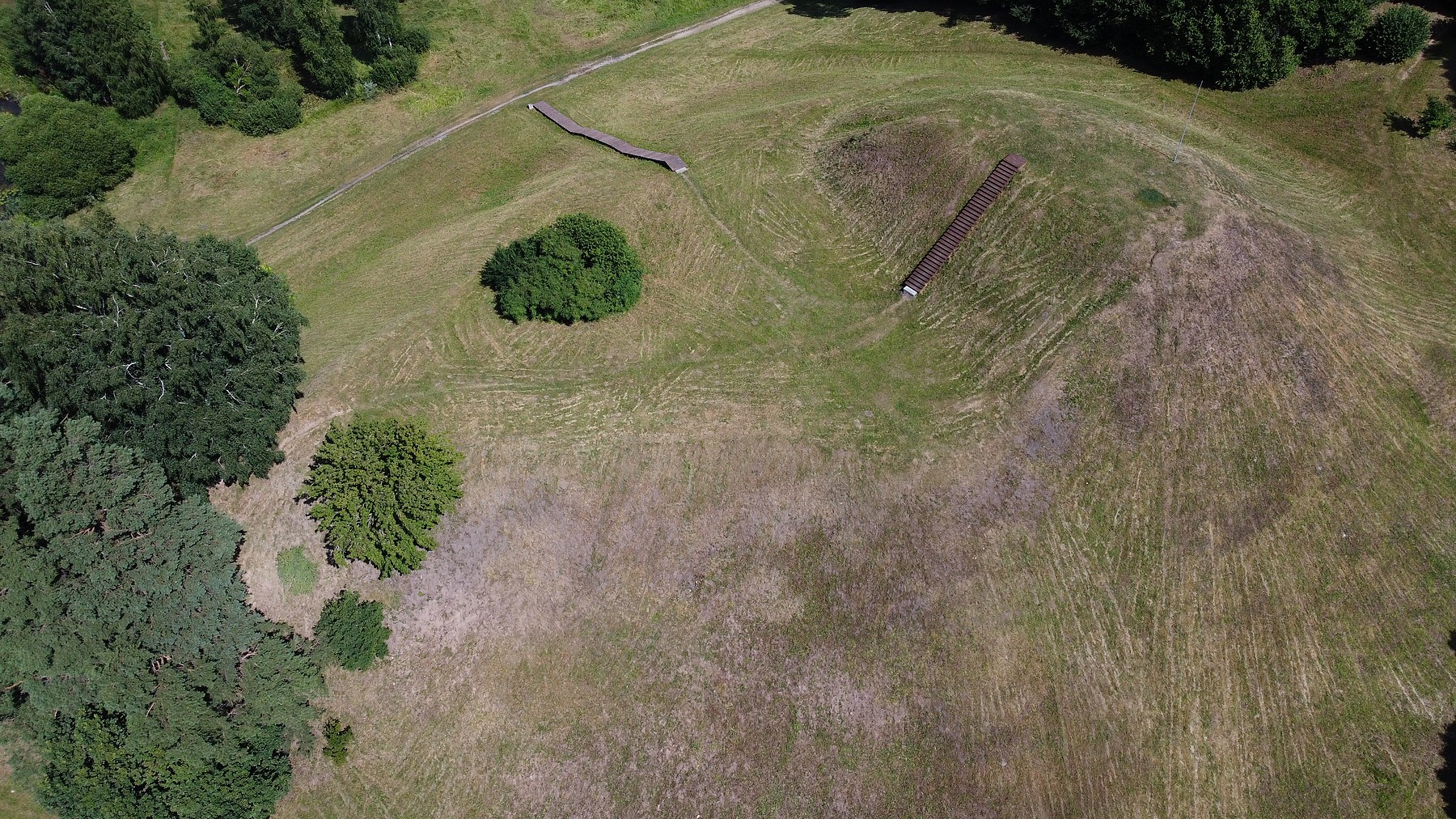

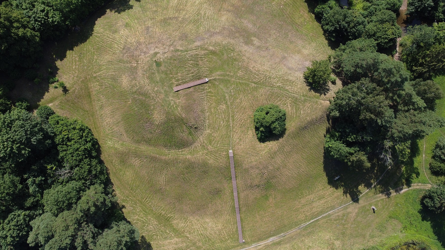
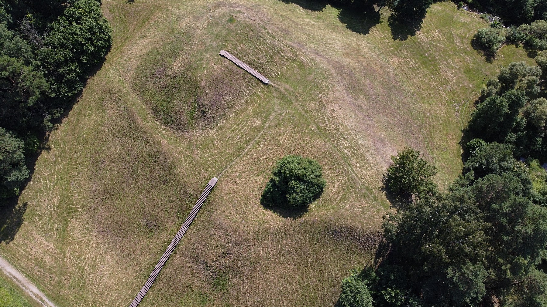
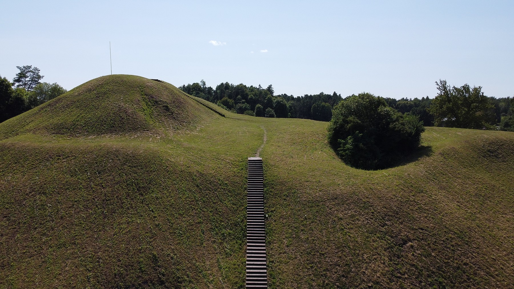
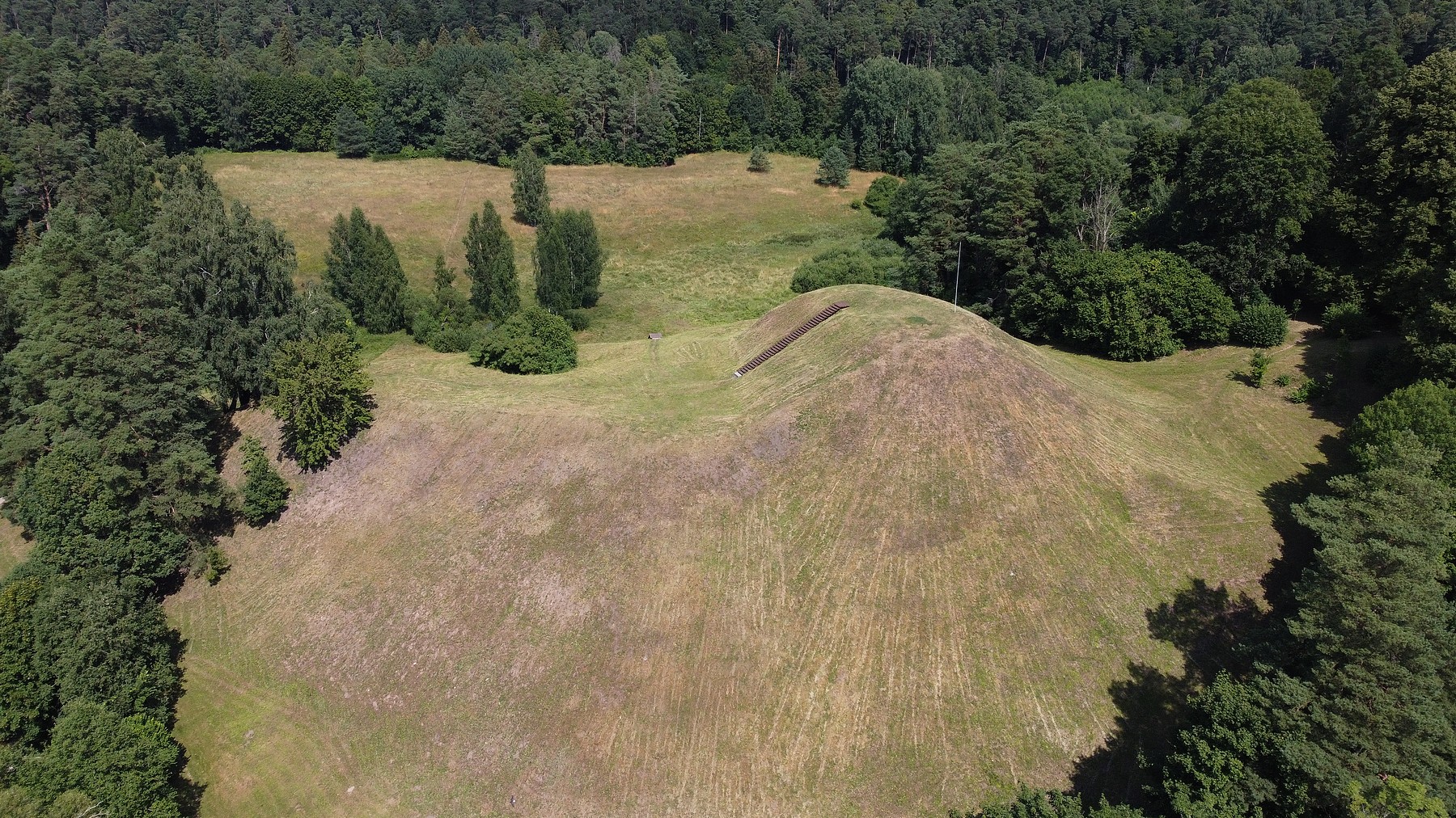
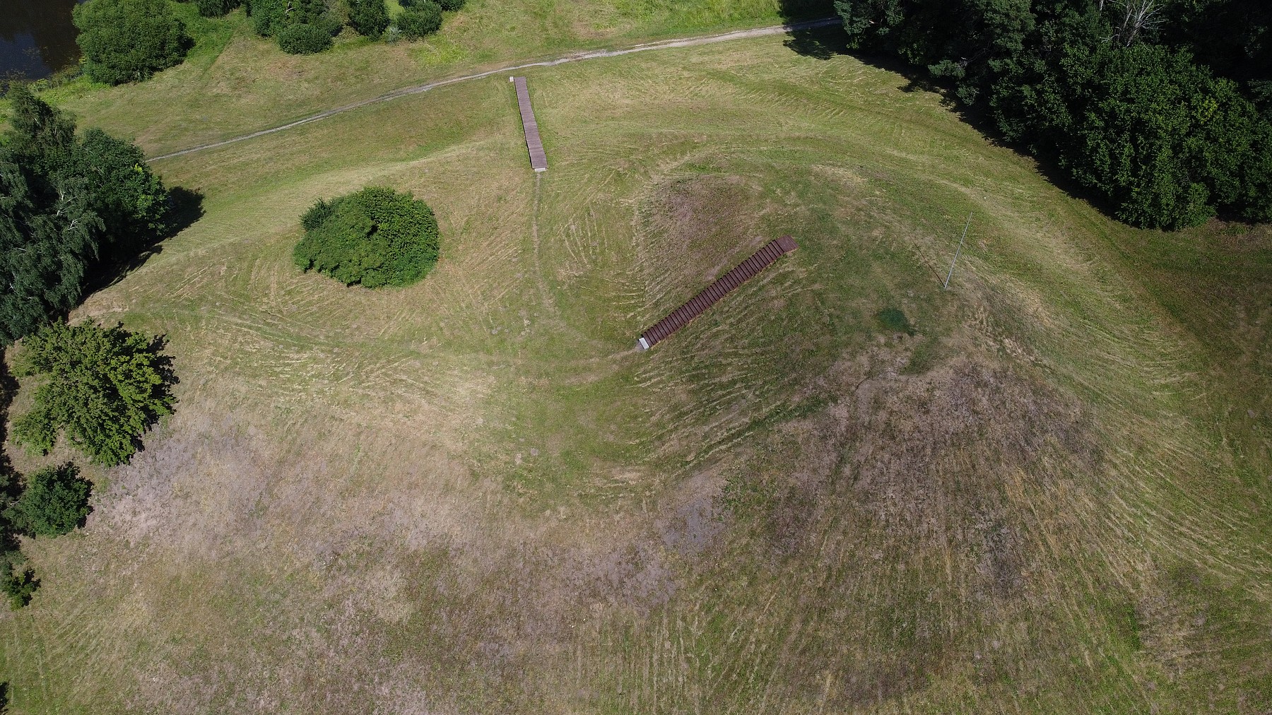
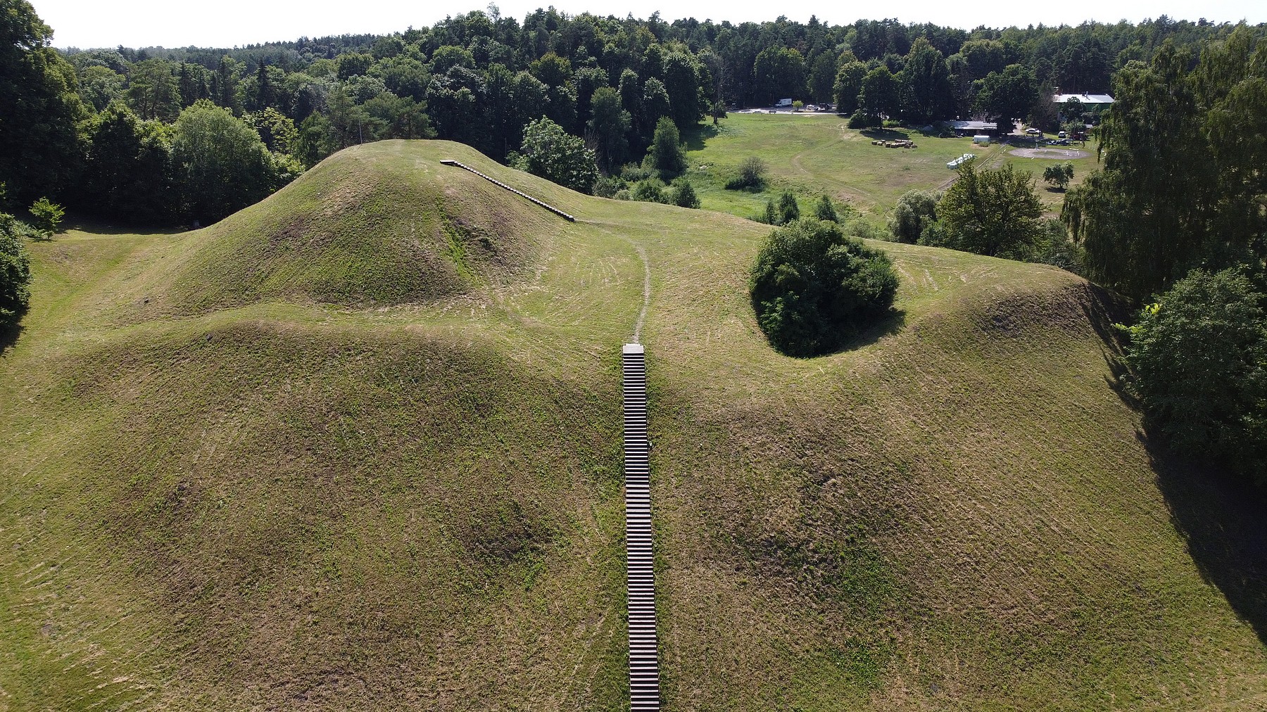
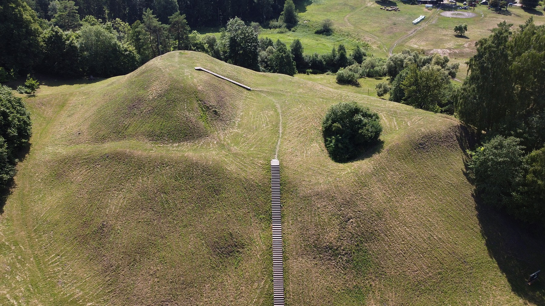
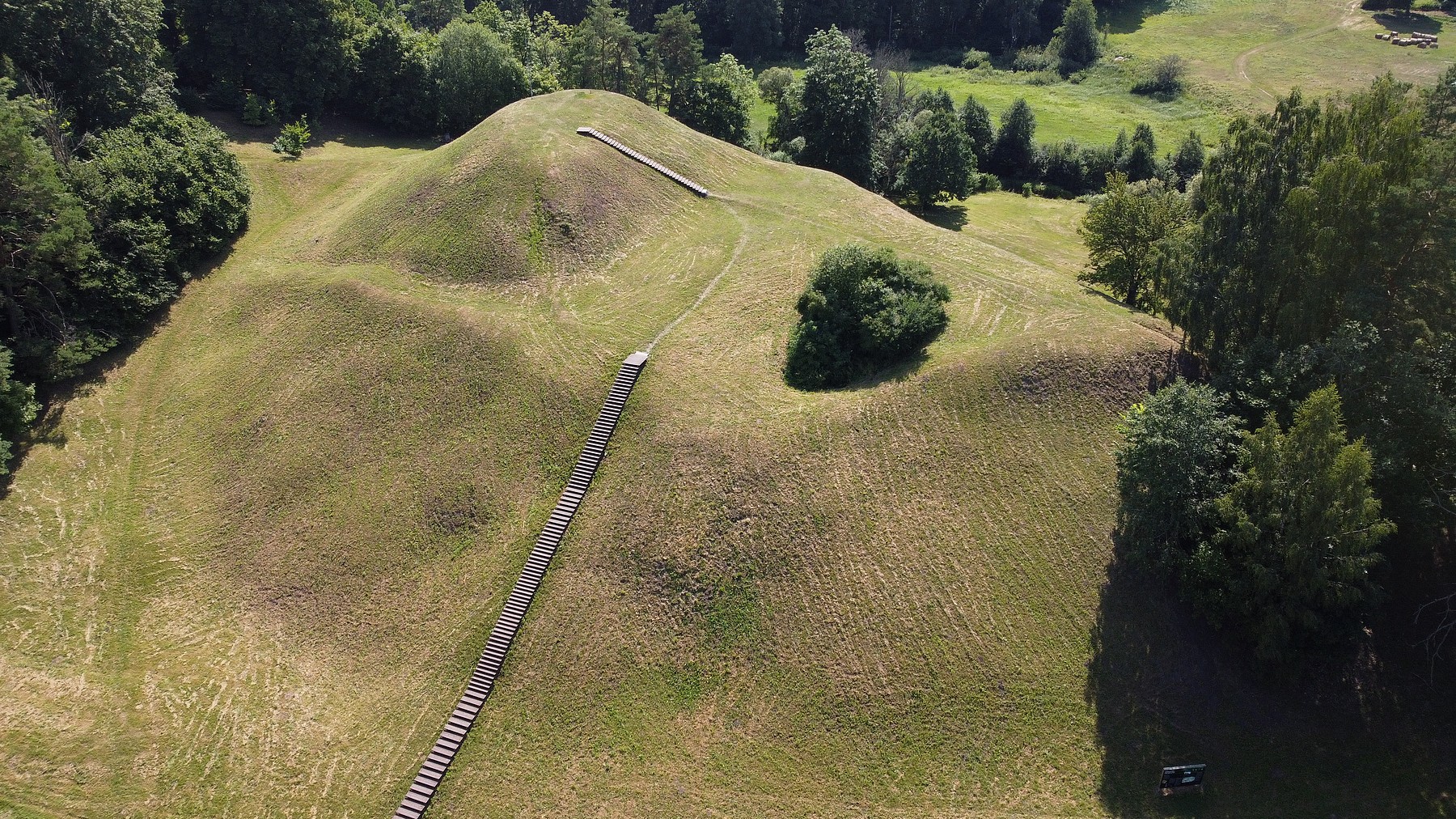
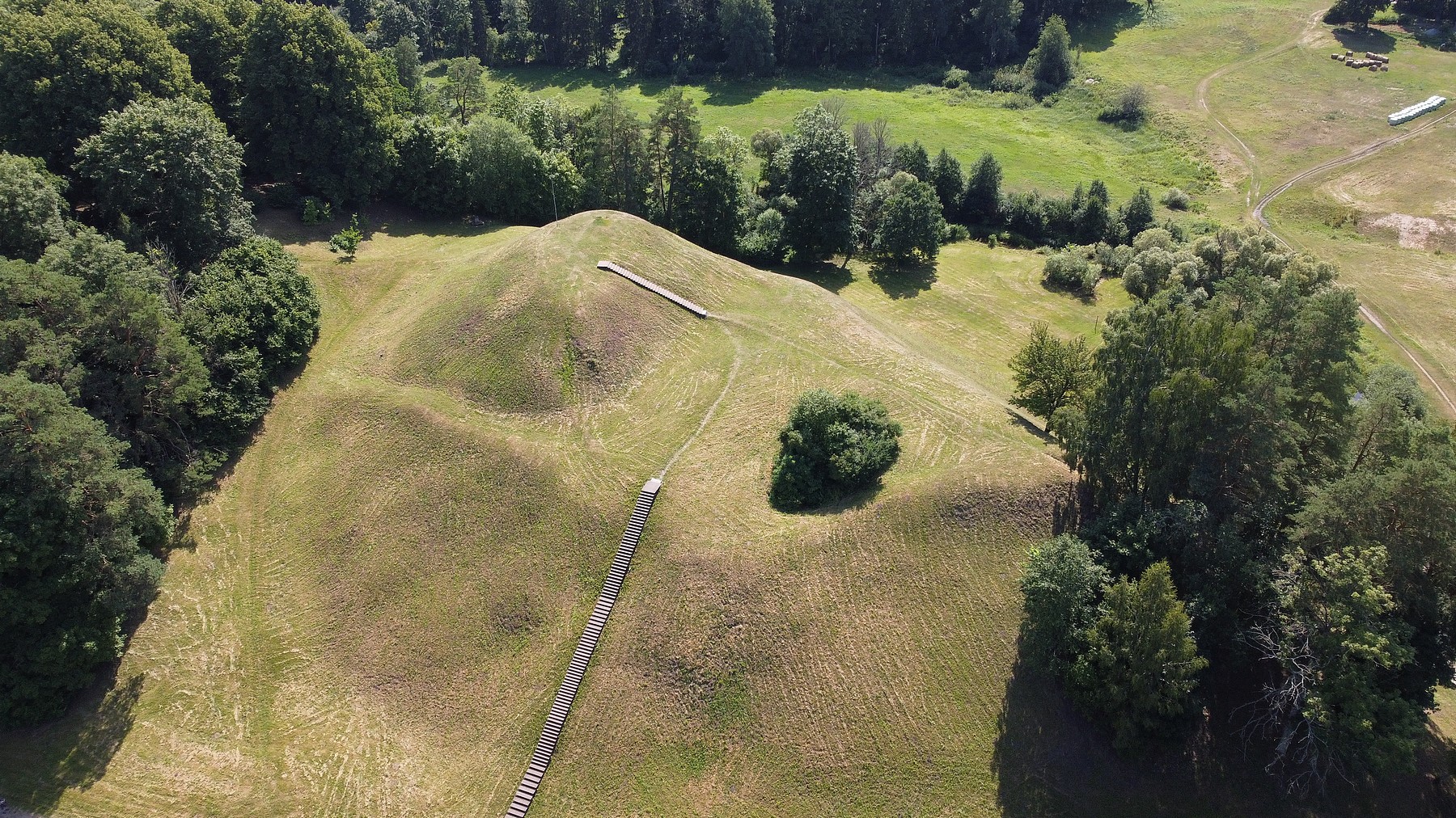
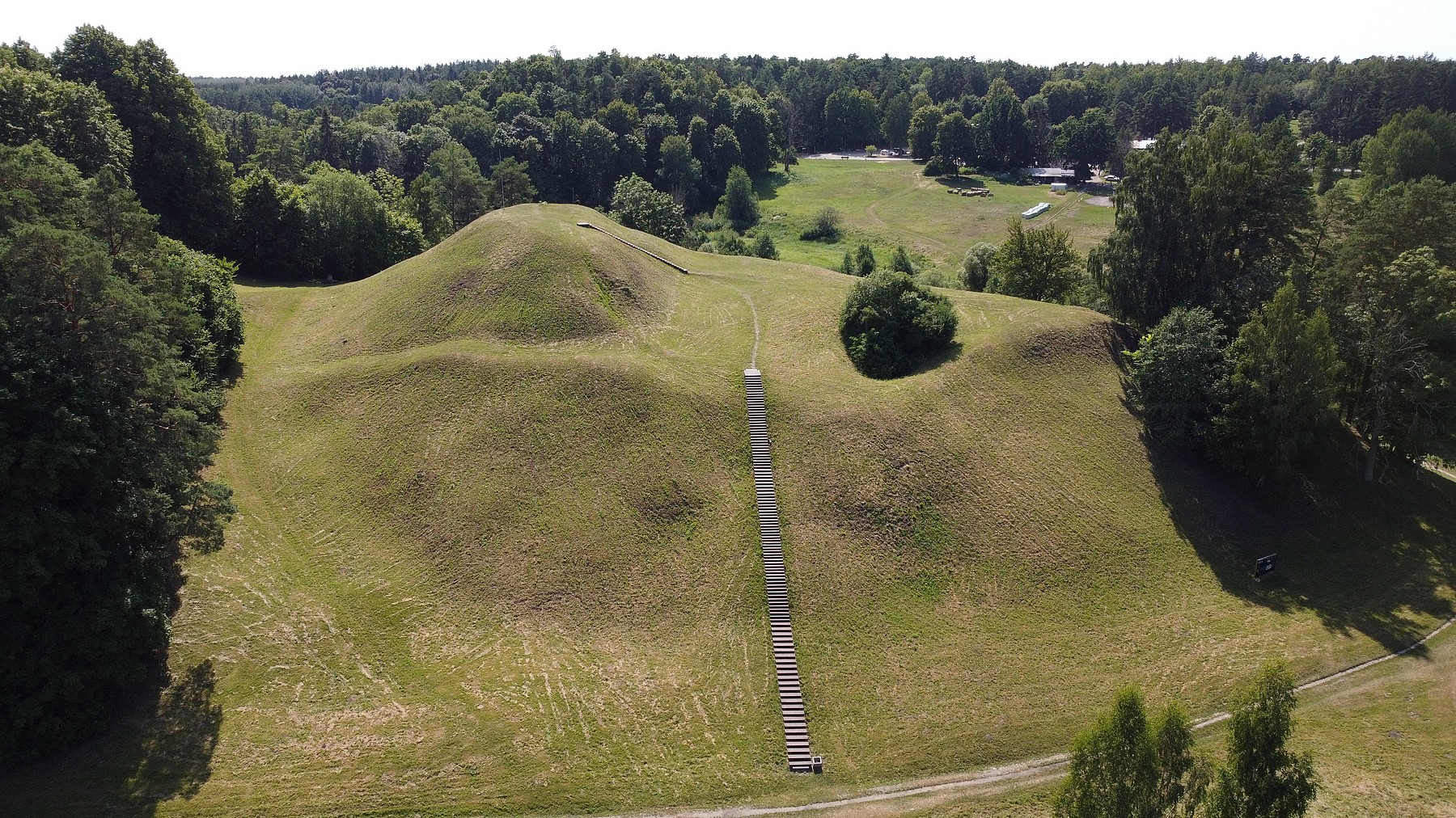
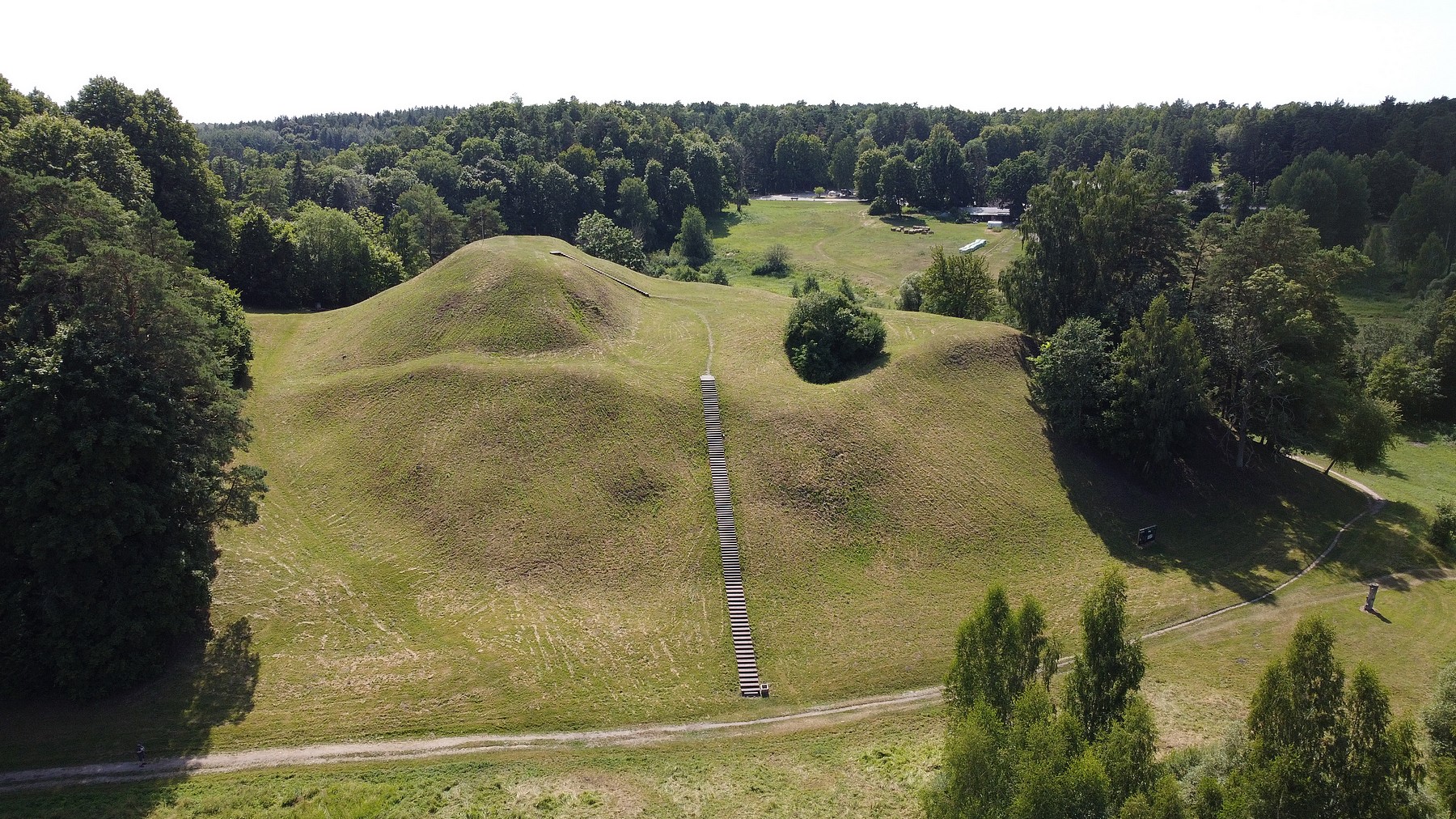

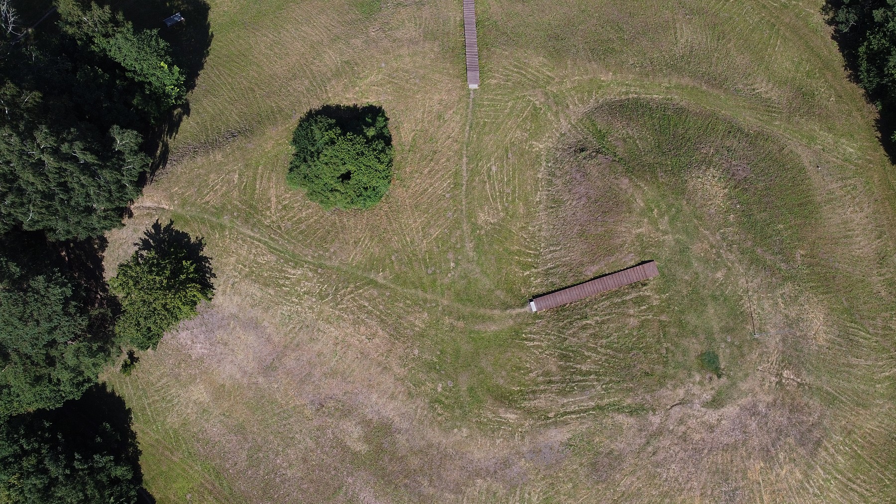
Photo: M.Porietis
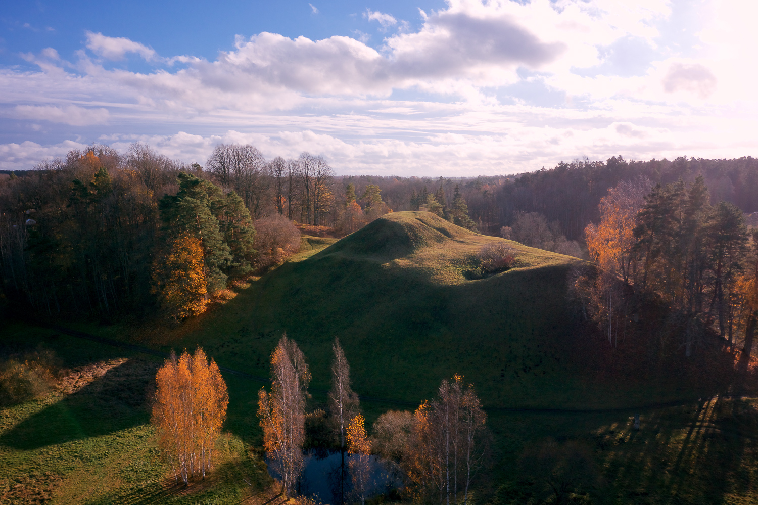
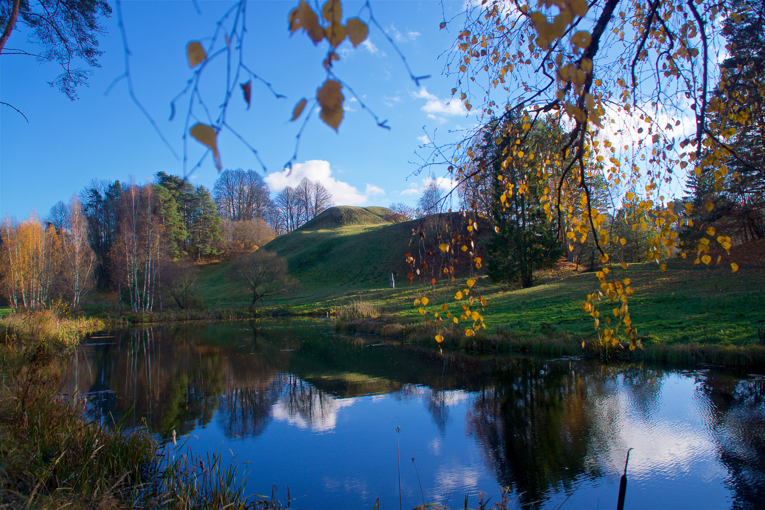
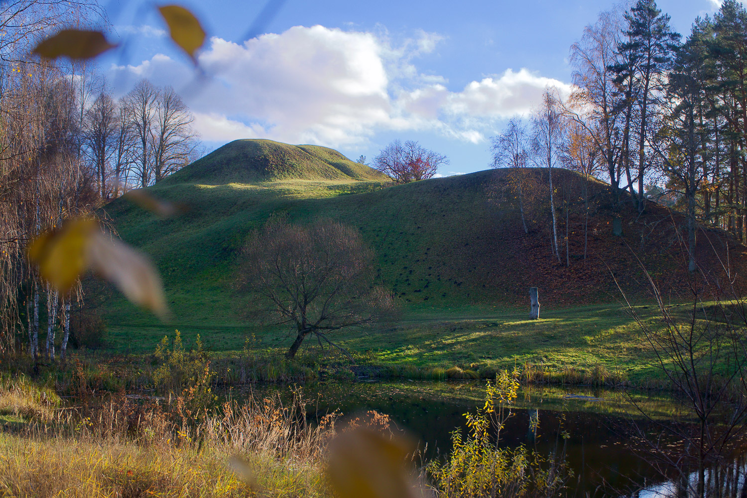
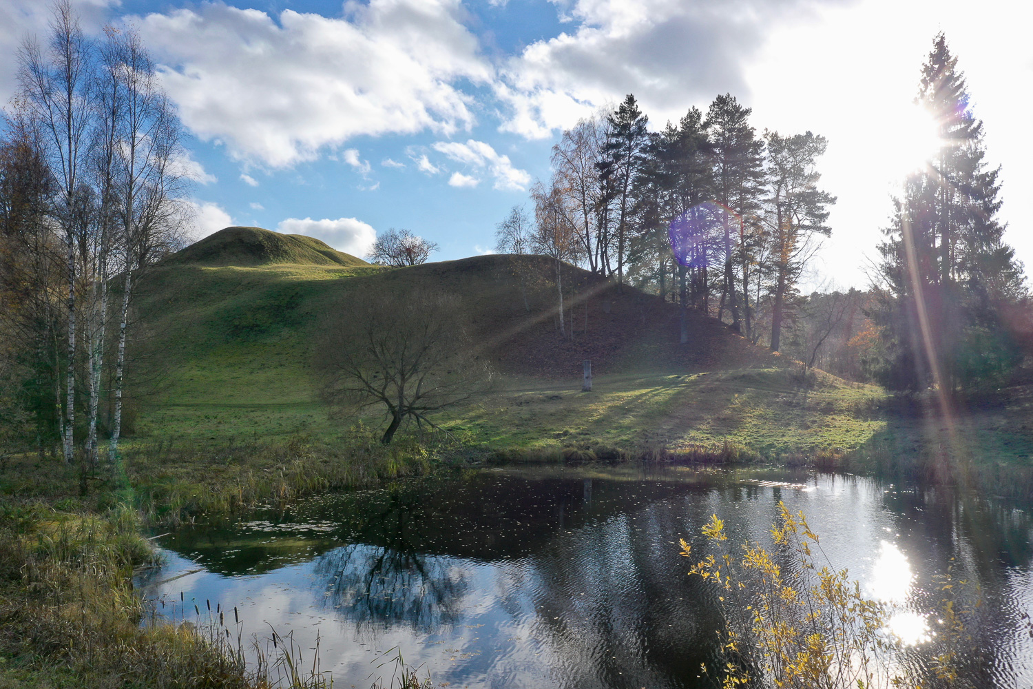
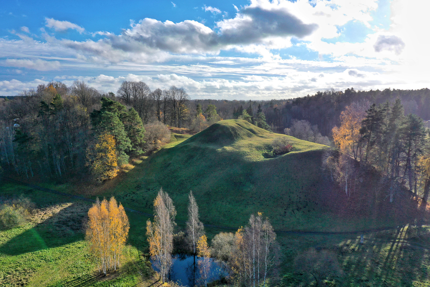
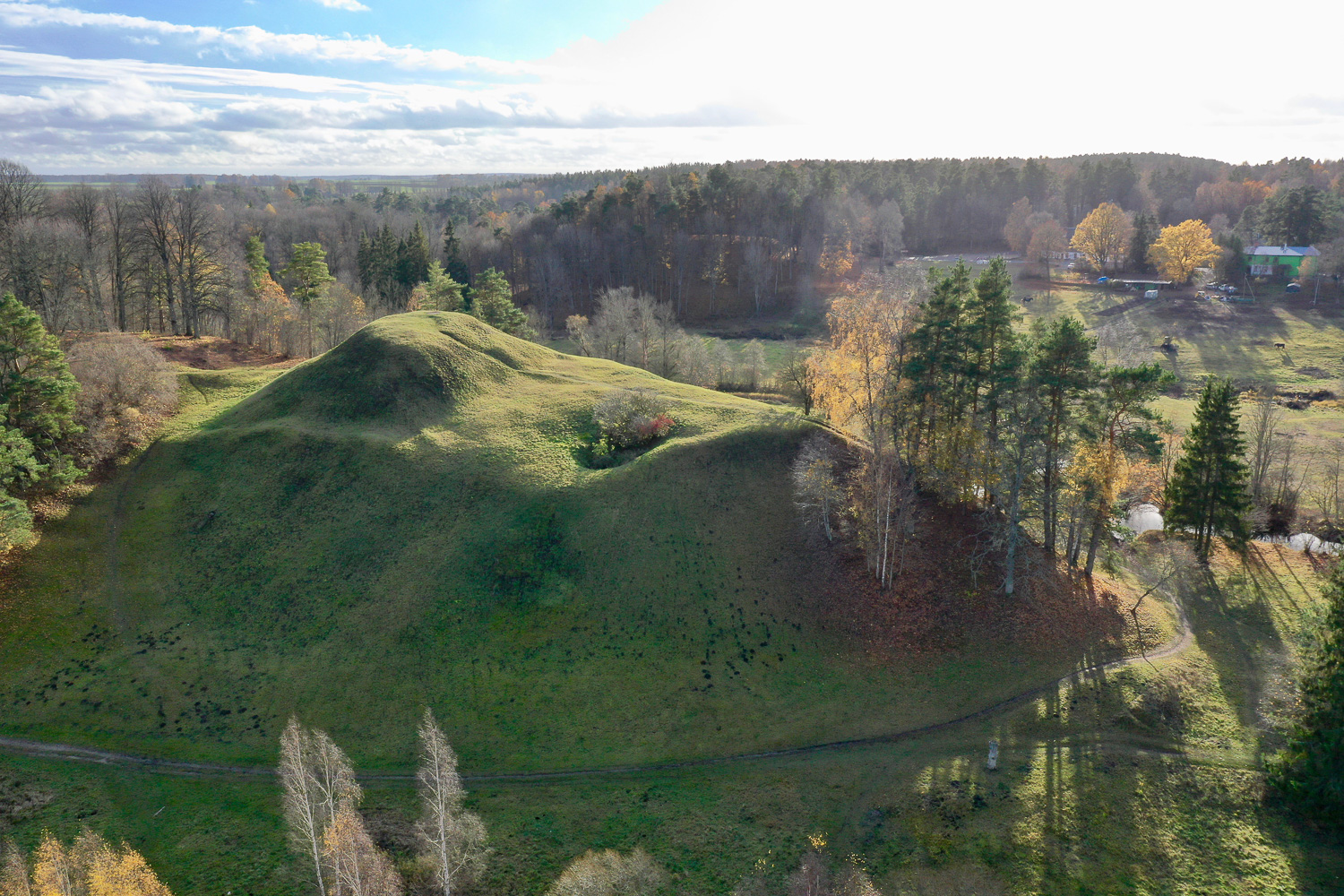
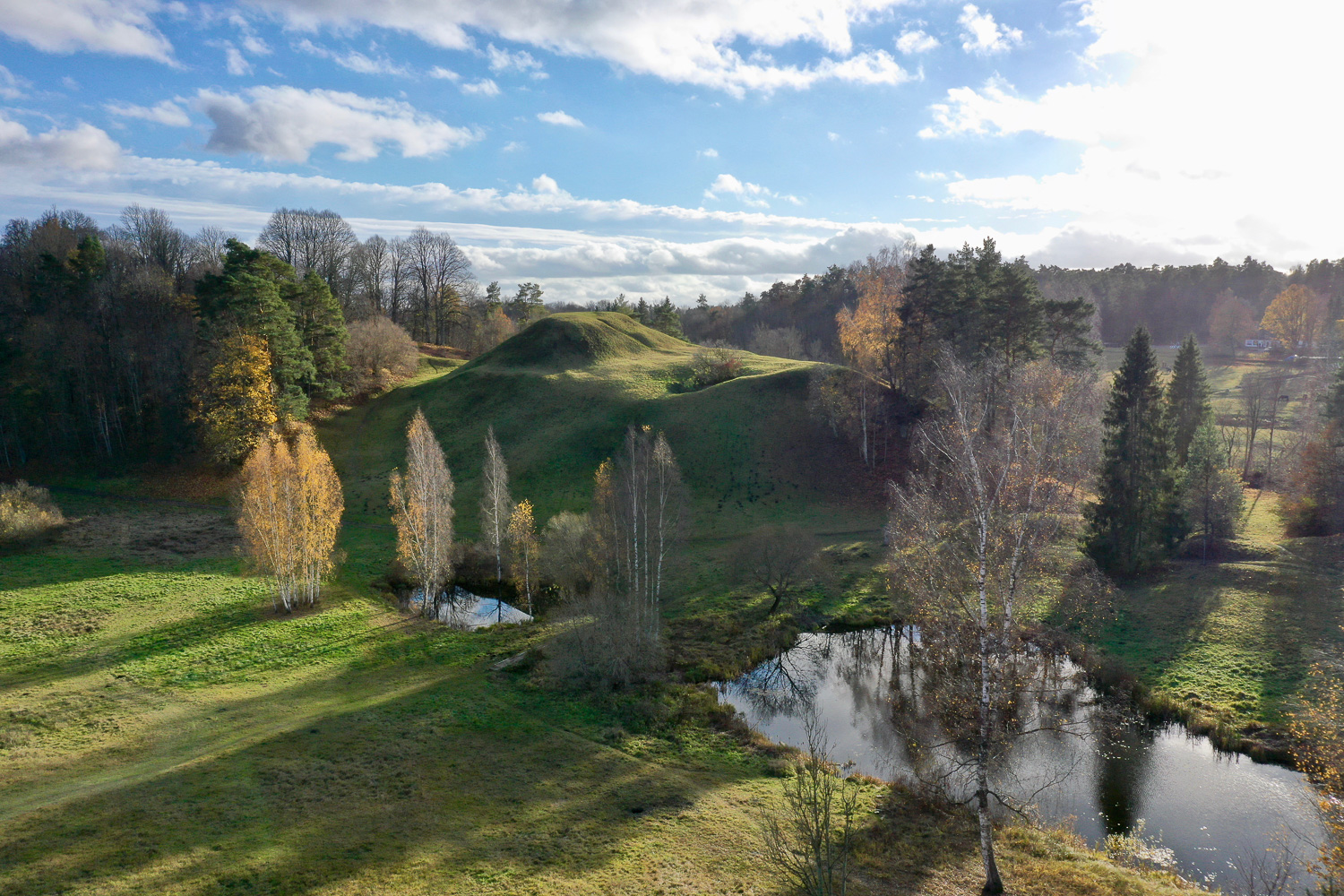
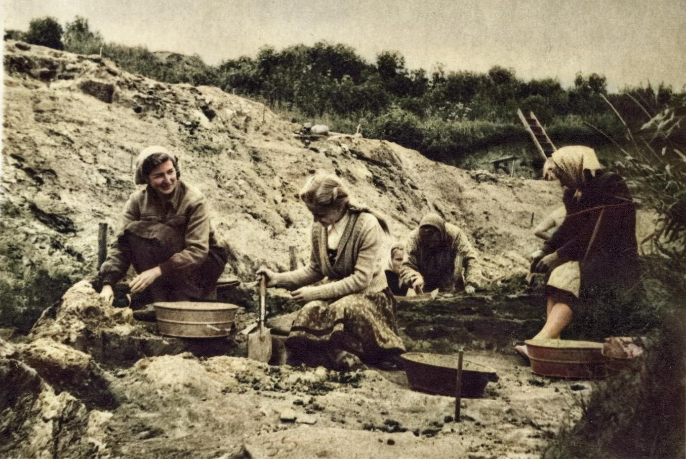
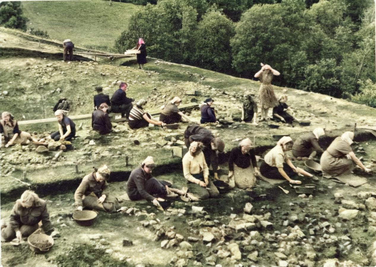
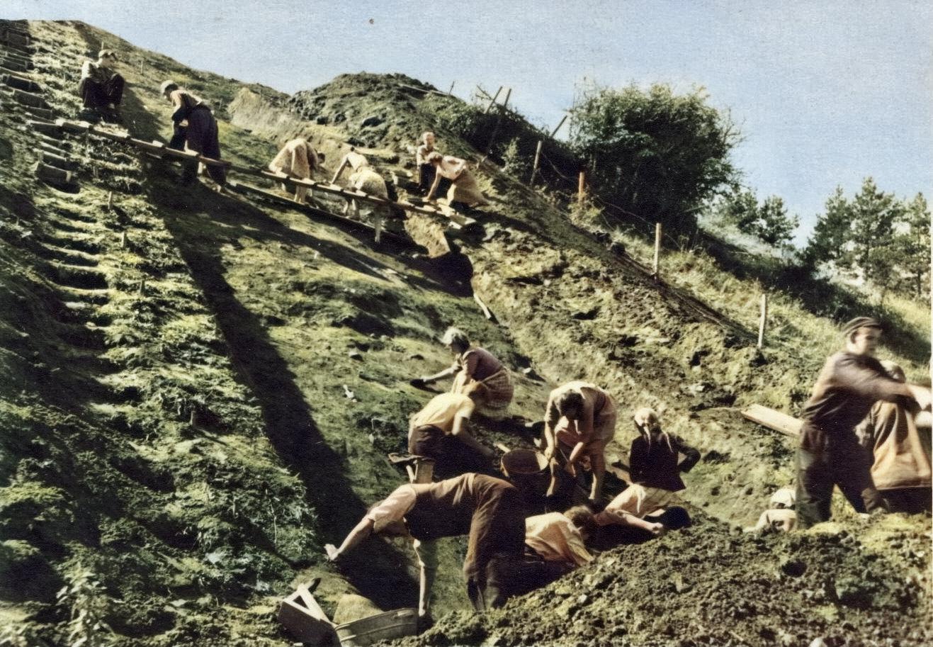
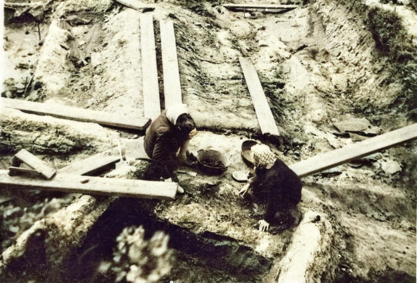
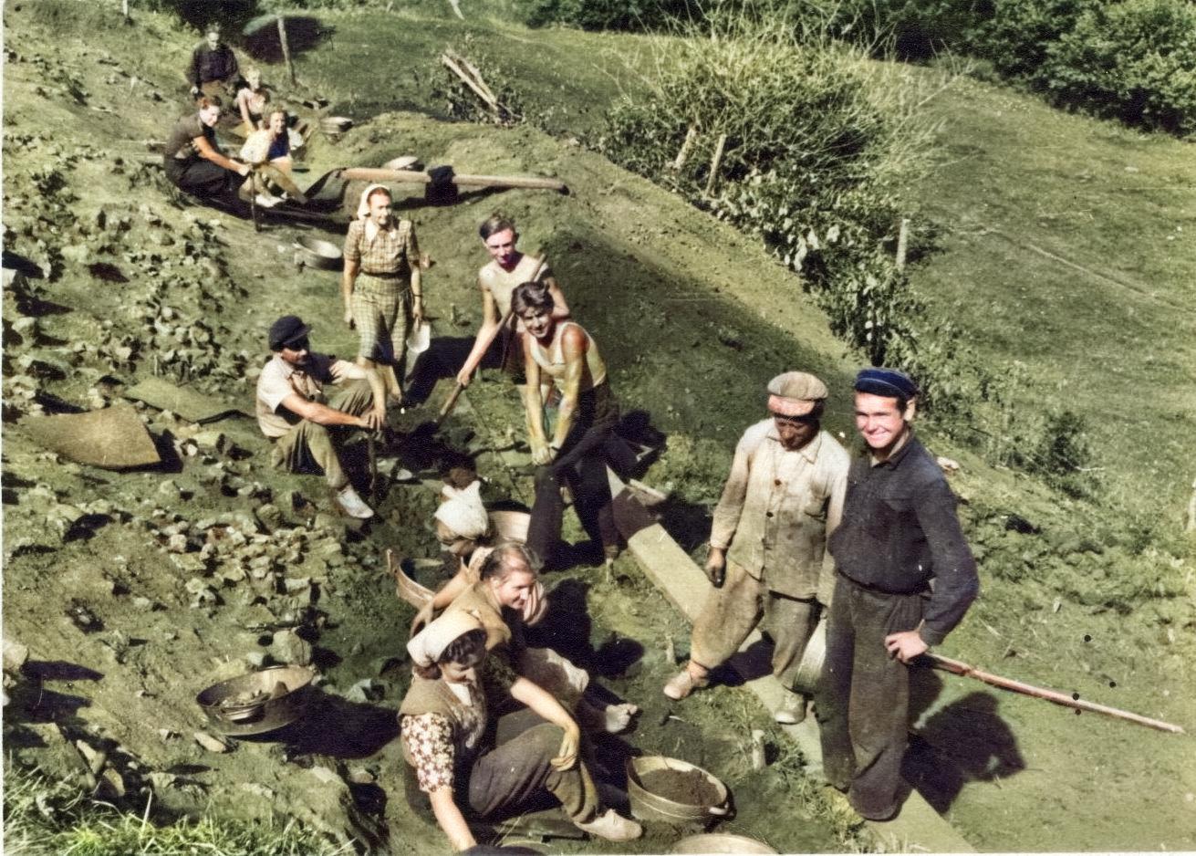
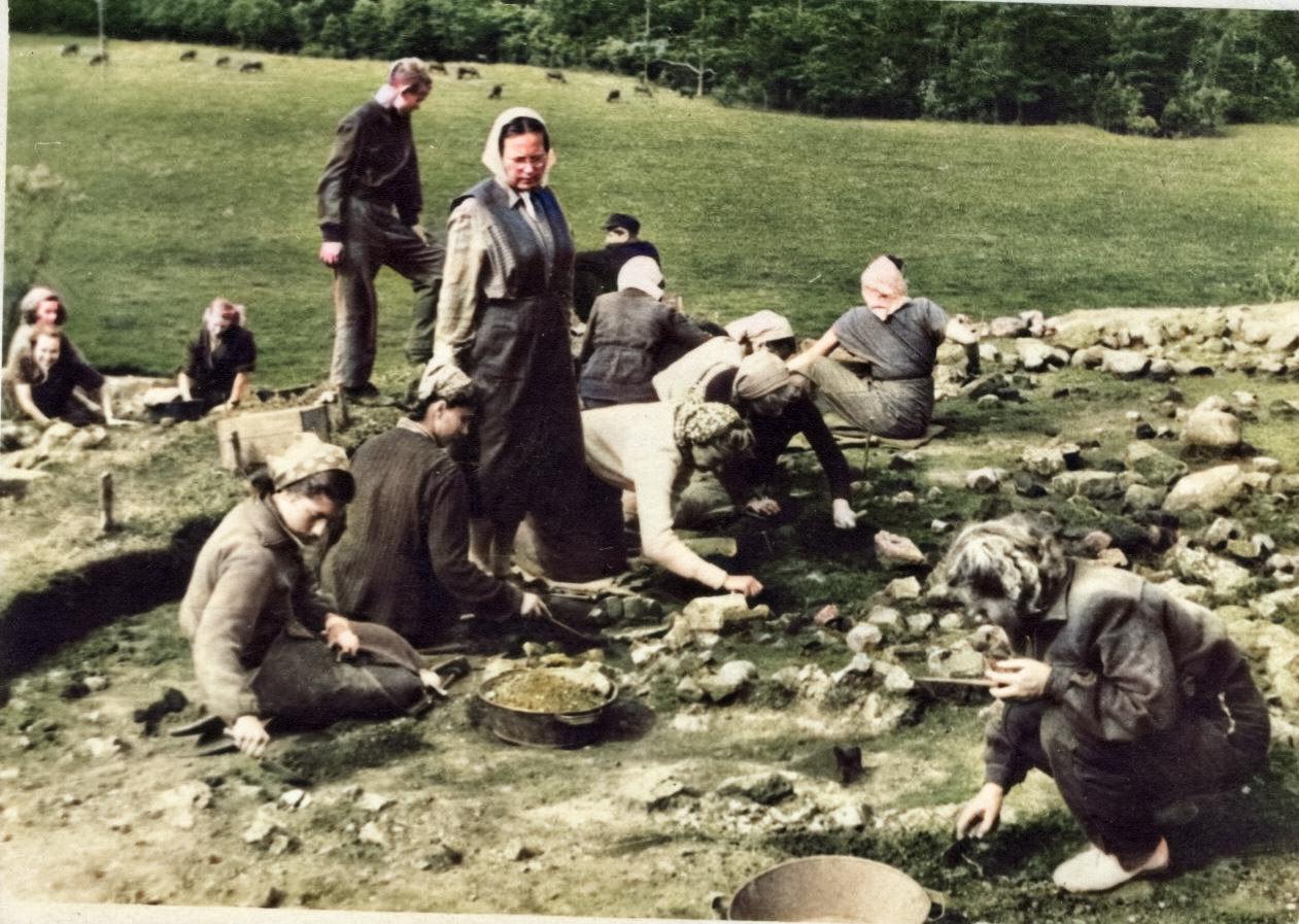
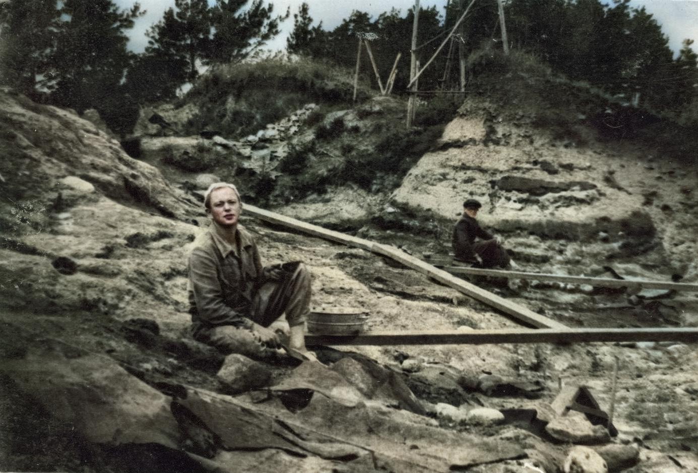
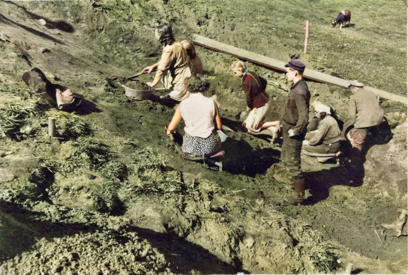
Photo: J.Stenkevics, 1954.g. Archaeological excavations at Tērvete hillfort. Colored photos
Photo colored using an artificial intelligence website colourise.sg. Processed by: G.Kalniņš, 19.05.2020.g.