CitizenScienceLV
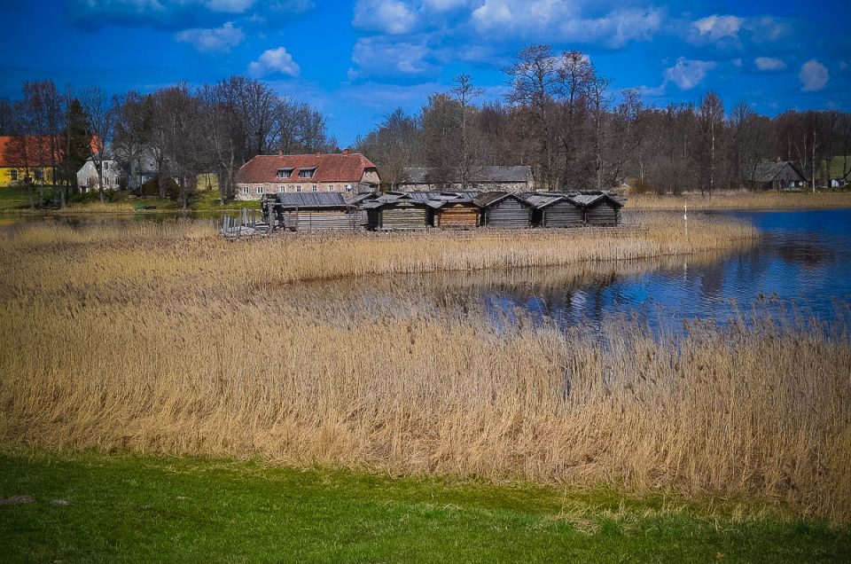
Āraiši lake dwelling site is a popular tourist location with original and reconstructed remnants of Latvian prehistory. It is a unique nationally important archaeological site: remains of the 9th–10th centuries Latgalian fortified settlement on the island of Āraiši lake.
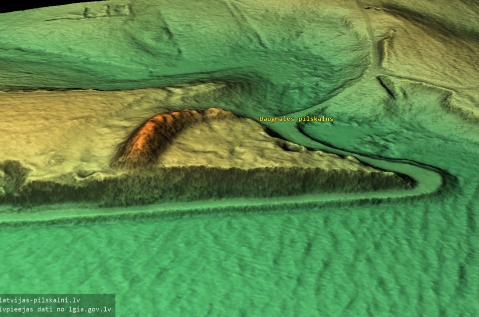
Daugmale hillfort is an ancient centre of trade and craft on the left bank of the Daugava river near the Tīči and Pukstiņi homesteads. Several authors believe that a port referred to in historical documents as Portus Semigalliae, was located at the foot of the hill where the river Varžupīte flows into the Daugava. Archaeologists have found evidence that the hillfort has burned at least 14 times during its existence.
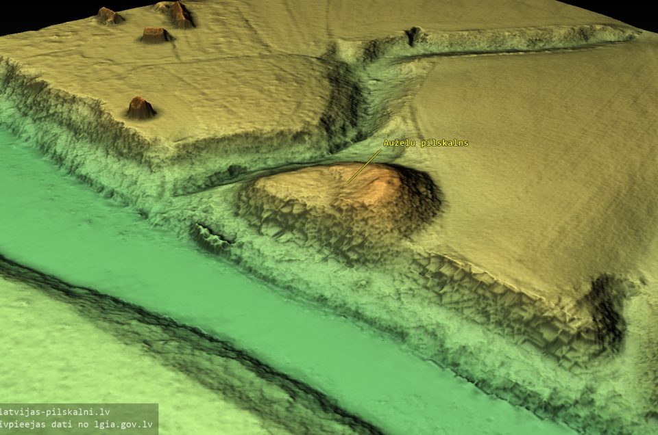
On the left bank of the Mēmele River, in Ceraukste municipality, in the fields of Aužeļi and Turki homesteads, we see an artificial mound, named “Pilskalns” (“Hillfort”). Indeed, this is a typical hillfort, constructed on a headland, which has formed between a ravine of a brook and the steep bank of the Mēmele. The headland is separated from the flat field to the north by a ditch, which is currently 2 m deep, and a 4 m high earthwork.
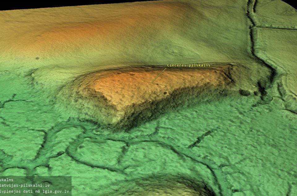
In Kuldīga county, Ciecere municipality, 3 km south-east of the Lielciecere manor, on the grounds of the Pilskalni homestead there is a place known as “Hillfort”. The hilltop is 110 m long and at the southern end 50 m wide.
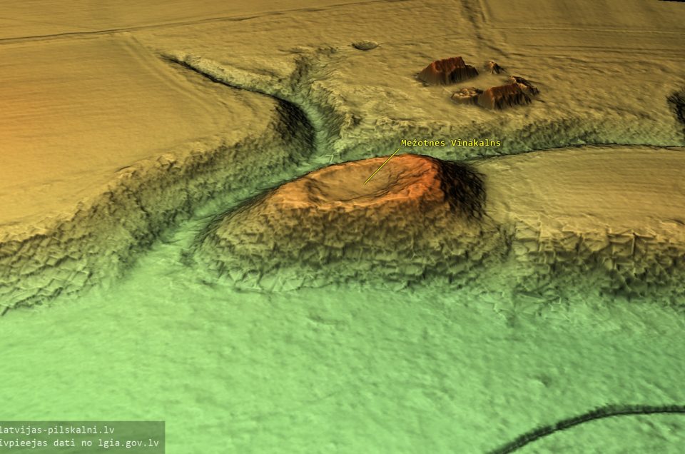
The Wine Hill is a fortified mound half a kilometre south of Mežotne hillfort. A steep ridge connects the hillfort and the Wine Hill, delimiting the Lielupe river flood meadows to the west. This ridge is the former bank of the Lielupe, remaining in place as the river receded.
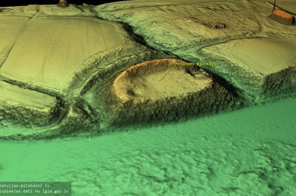
Mežotne hillfort (Latin: castrum Mesiothe), also known as Viesturs’ Hill, is located in Rundāle municipality, across from the centre of Mežotne town, on the left bank of the Lielupe river. According to the Livonian chronicles, the main castle of the Semigallian land of Upmale stood here until 1270. After its destruction, to defend against the Lithuanians, the Livonian order built the Mežotne castle, which existed for a short time (ca. 1321-1346).
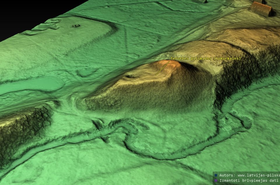
Tērvete hillfort (also known as Cukurkalns, “Sugar Hill”) is located in Tērvete village of the Tērvete municipality, on the right bank of the Tērvete river. Until the 13th century, the Semigallian rulers’ castle on this hill was the administrative centre of the Tērvete district. The mound and the ancient settlement are a state-protected archaeological monument.

-
Dignāja hillfort Laža hillfort Stupeļu hillfort Imuļu hillfort Tanīsa hill Gorodoka hillfort Krūku hillfort Klosterkalns hillfort Kalnišķu hillfort Skuju hillfort Kaldabruņa hillfort Lielvārde God hill Aderkašu hillfort Krote hillfort Kamarde hillfort Ķētu hillfort Caunu hillfort Kamradzes hillfort Mizaiņi hillfort Madalānu hillfort Kiln Hill Tīrumviekšeļi hillfort Ezerlūķi hillfort Namethill E.Brastiņš Sermīte hillfort Sāruma hill Gaiļa hillfort Kurmāle hillfort Marga hill CitizenScienceLV Riekstu (Nuts) hill Nametkalns Blaževiču hillfort Sauka hillfort Dobele hillfort Silaješku hillfort Peiteļi hillfort Stanovišku hillfort Namdaru hillfort

Šis darbs ir licencēts ar Creative Commons Attiecinājums-Dalīties līdzīgi 4.0 Starptautisko licenci.
