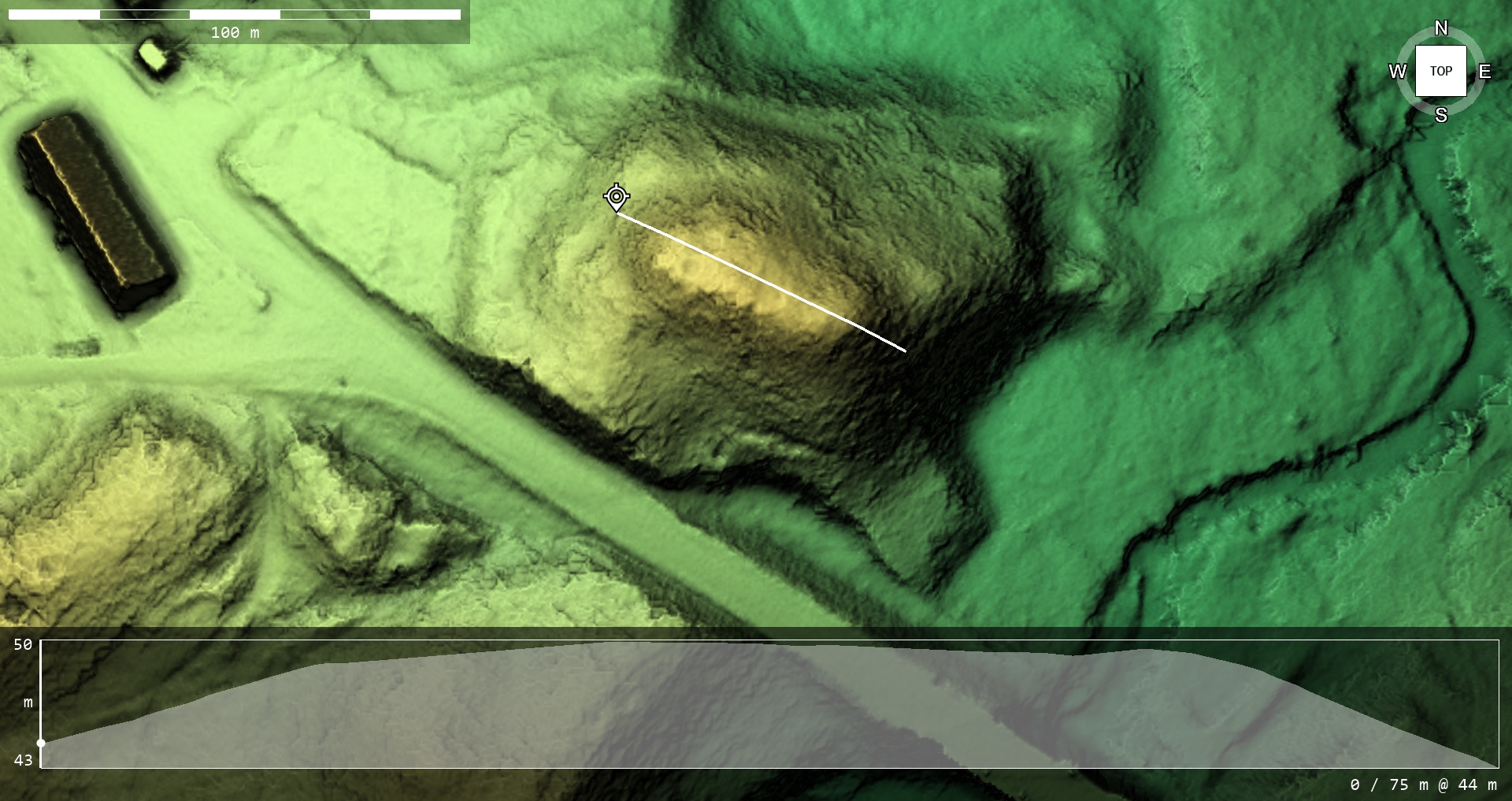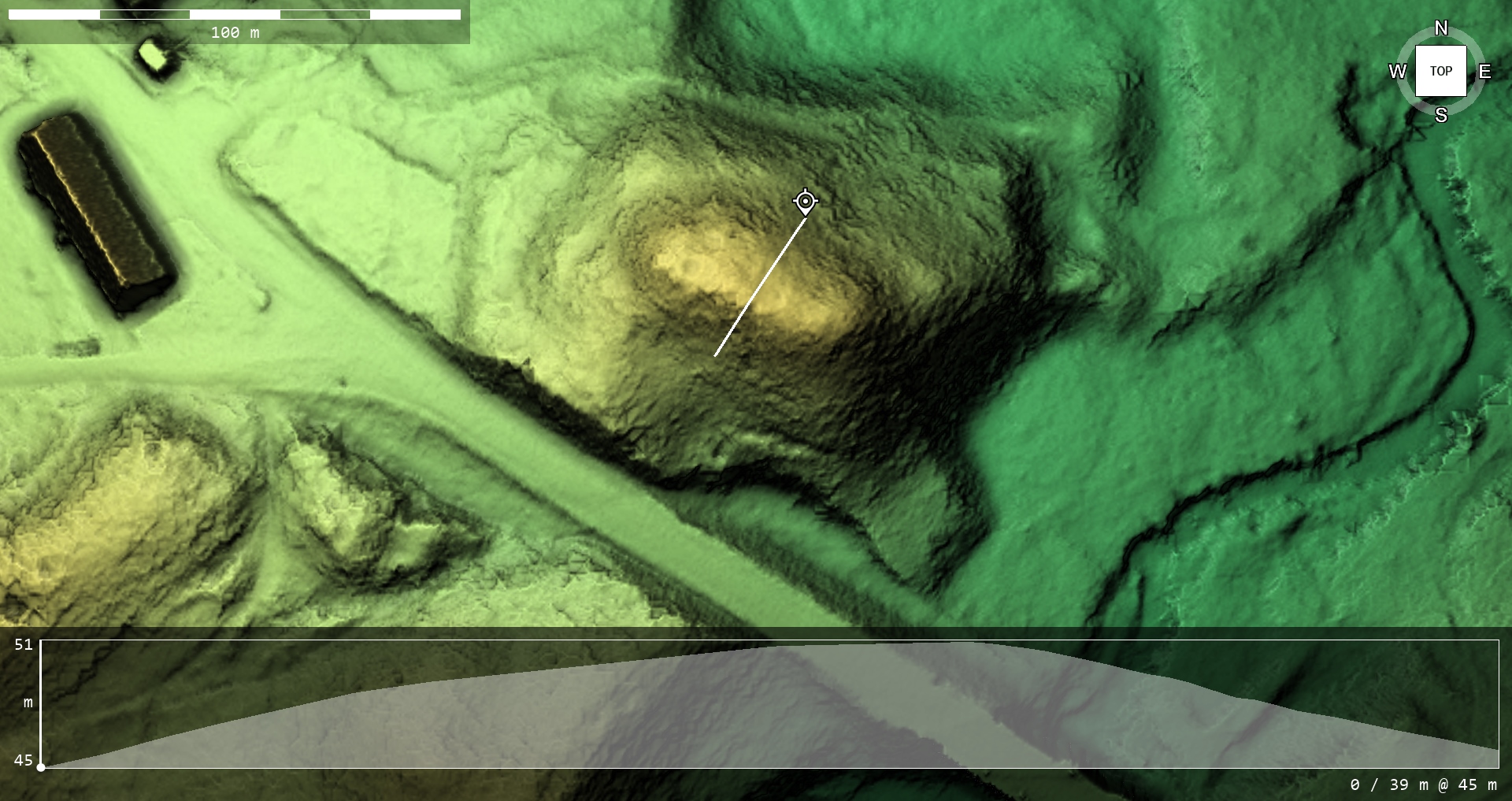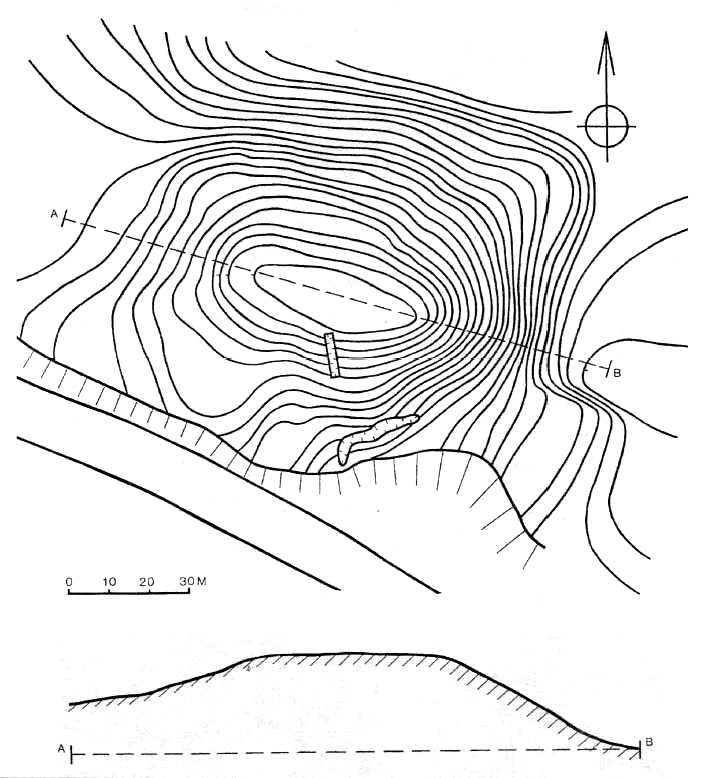
Contour interval 1 m. Drawn from a 1994 survey.
Klosterkalns (Cloister Hill) of Tērvete (formerly also Ķīķerkalns) is located in the centre of Tērvete village between the Dobele – Bauska highway and the Tērvete river. In 1926, E. Brastiņš was the first to write about Klosterkalns as a potential burial mound and an artificial terrace. In 1975 and 1976, archaeological excavations were conducted on a 1000 m2 area of Klosterkalns under the direction of M. Atgāzis. They proved that Klosterkalns should unmistakably be considered a hillfort.
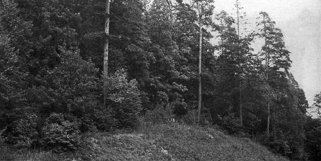
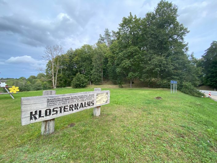
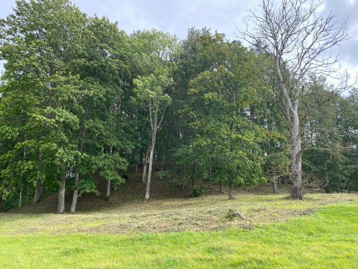
Klosterkalns of Tērvete.
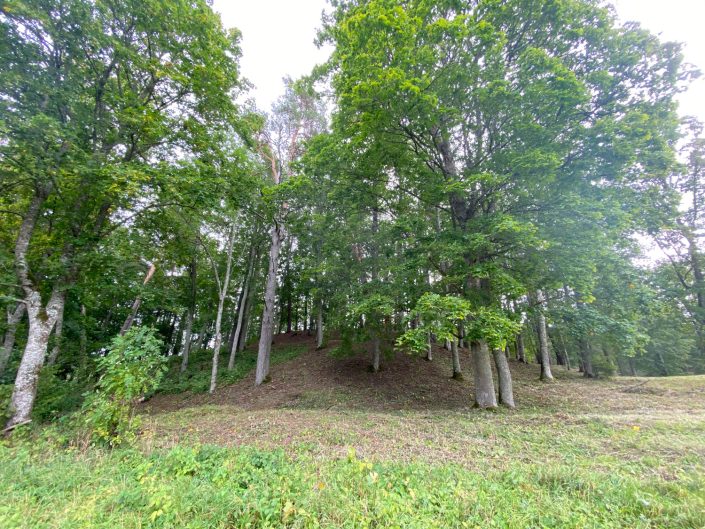
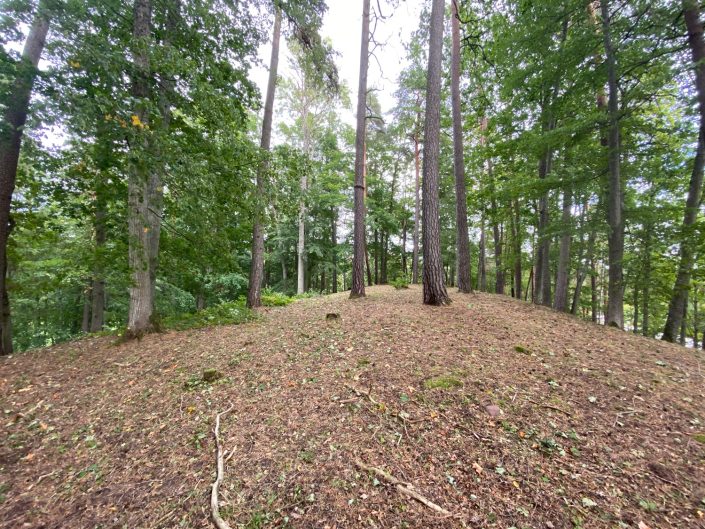
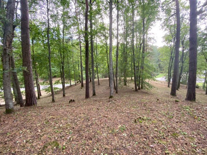
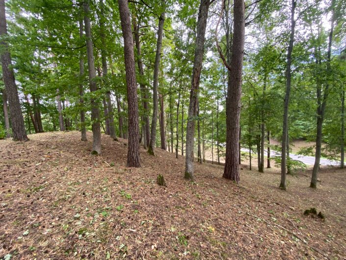
Klosterkalns is a hill overgrown with trees, with an east to west orientation. It is 22 m high on the northern side, with an oval, flat hilltop 40-45 m in length and 15-17 m in width. On the southeastern side the hillside is naturally steep, but the lower northern and western sides are artificially terraced 4-6 m below the hilltop level. The foot of the hill on the southern side has been removed during road construction.
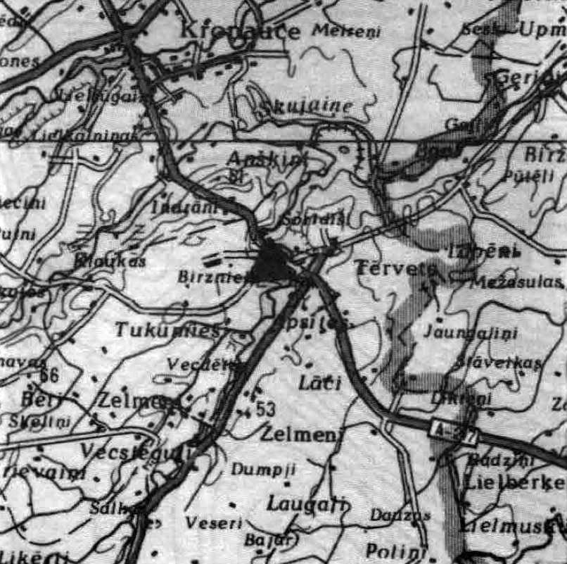
Area plan. Scale 1:200 000.
The hilltop, the northern and western terraces, slopes, and the base of the hill were studied during the archaeological excavations. The 0.5 m deep cultural layer on the hilltop was found to be grey and uniform. Two fortification lines were found on the northern edge and slope, marked by rows of boulders and postholes. The distance between the two lines was 3-5 m. Several firepits were located next to the fortifications. Postholes lined with stones were found on the hilltop. More than three quarters of the handmade pottery sherd finds were of the scratched pottery type. Among other finds were fragments of clay moulds, a fragment of a decorative bone pin, an iron knife, a half of a stone axe, millstones, although altogether the finds were few. M. Atgāzis concluded that Klosterkalns was used as a fortified settlement in the second half of the 1st millennium BCE. Foundations of a later structure (a gazebo?) were also detected on the hill.
Klosterkalns is part of the Tērvete archaeological complex.
- J. Urtāns, J. Asaris. Latvijas rietumu daļas jaunatklātie pilskalni. – Rīga: fonds “Mantojums”, 1998.
