The following text is a translation of Ernests Brastiņš’ 1926 book Latvijas pilskalni (Latvian hillforts), Volume 2: Zemgale and Augšzeme. Some of the geographical and archaeological information may be out of date.
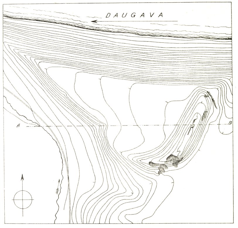
Survey scale 1:1000. Contour interval 1 m. Surveyed on July 7, 1923. Illustration from E. Brastiņš’ book.
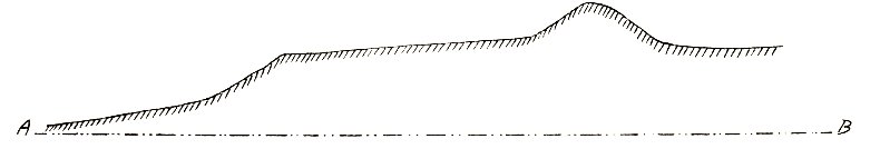
Section drawing of the hillfort, A to B. Scale 1:1000. Illustration from E. Brastiņš’ book.
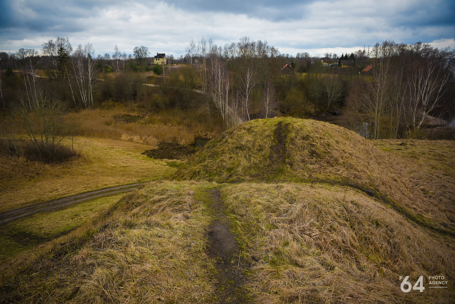
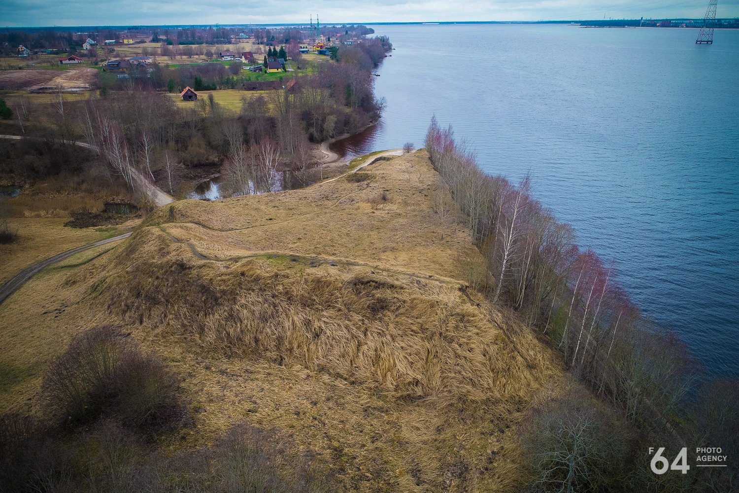
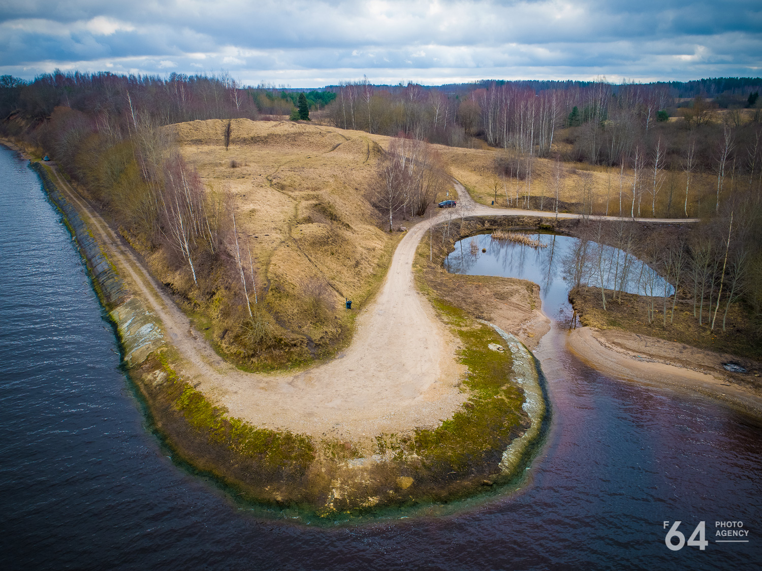
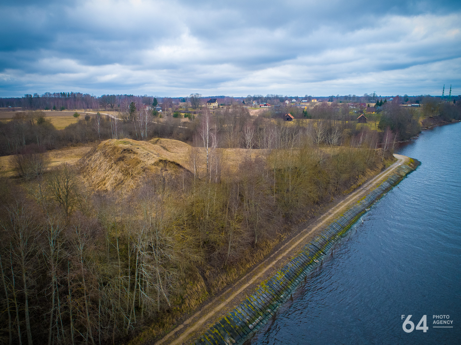
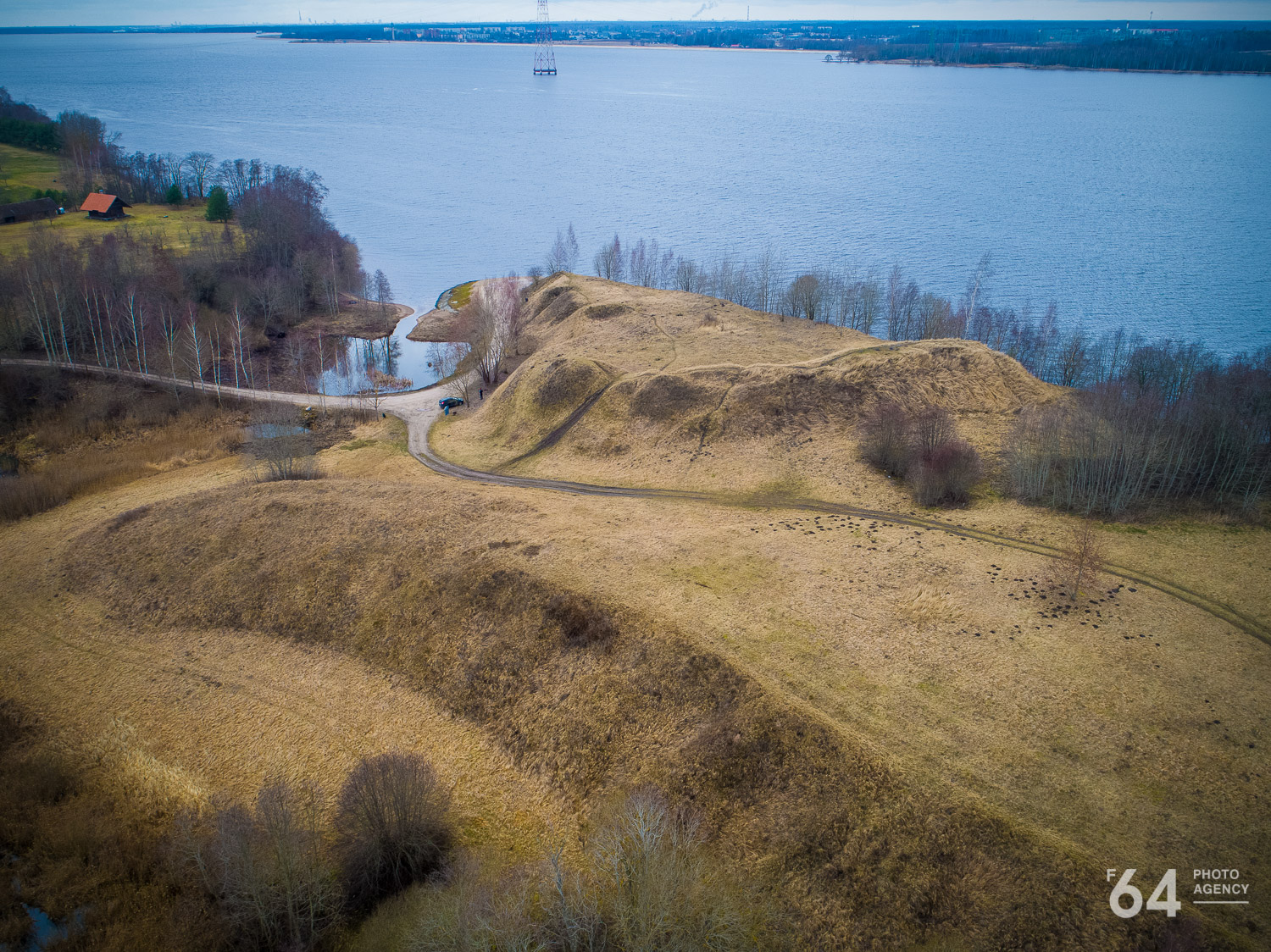
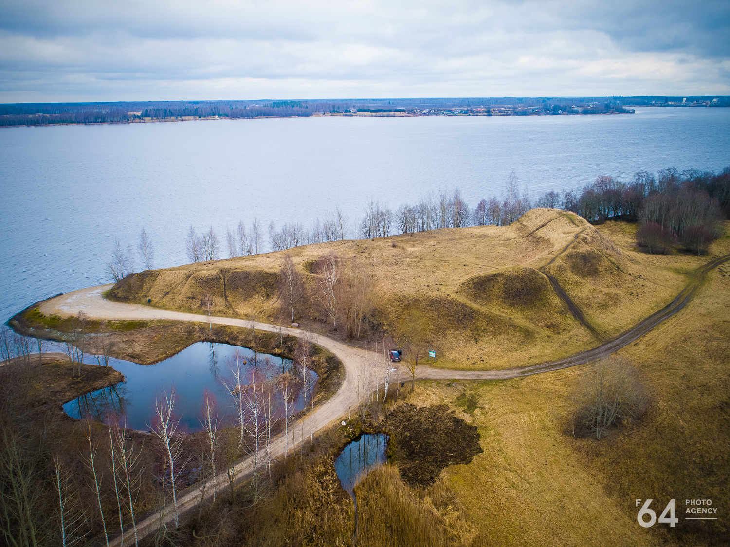
A large hillfort is situated three kilometres upriver from Bole island on the left bank of the Daugava, in Daugavmale (Līve-Bramberģe) municipality. It is located 1 km from the Bramberģe manor, between Tiči, Bikši, and Baltgalvji homesteads. This hillfort is also known locally as the Daugava hillfort because there is another, Sakaiņi hillfort nearby.
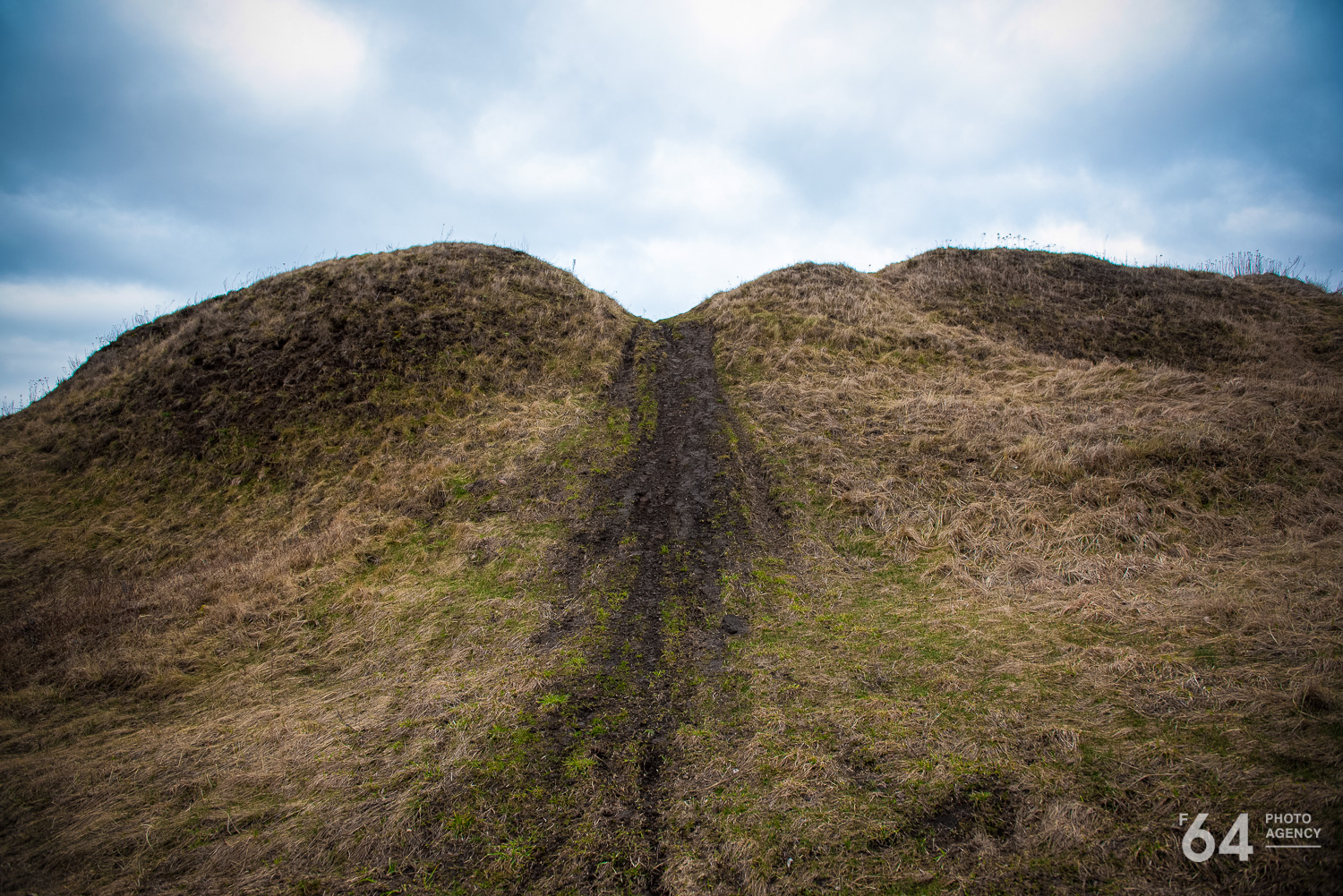
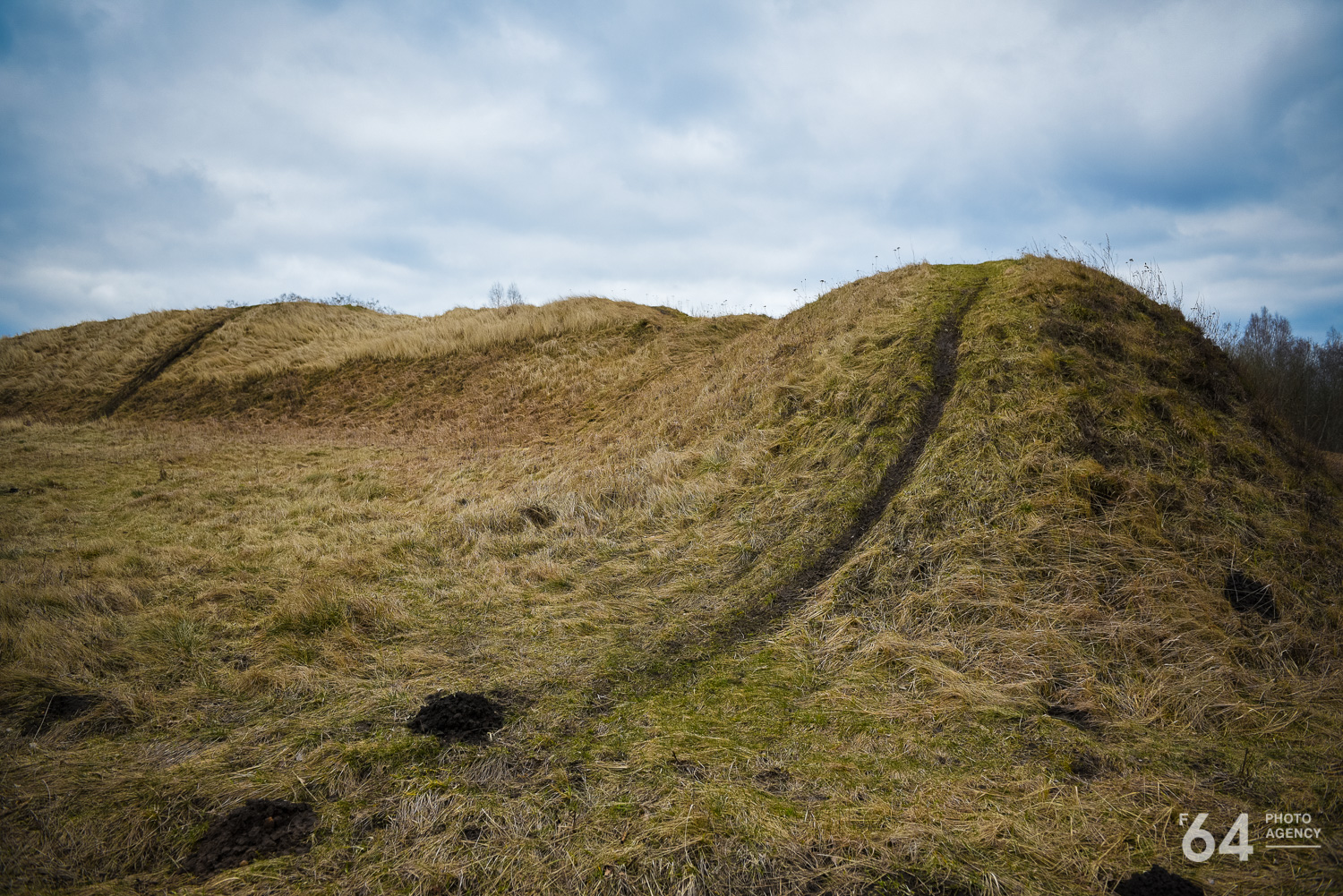
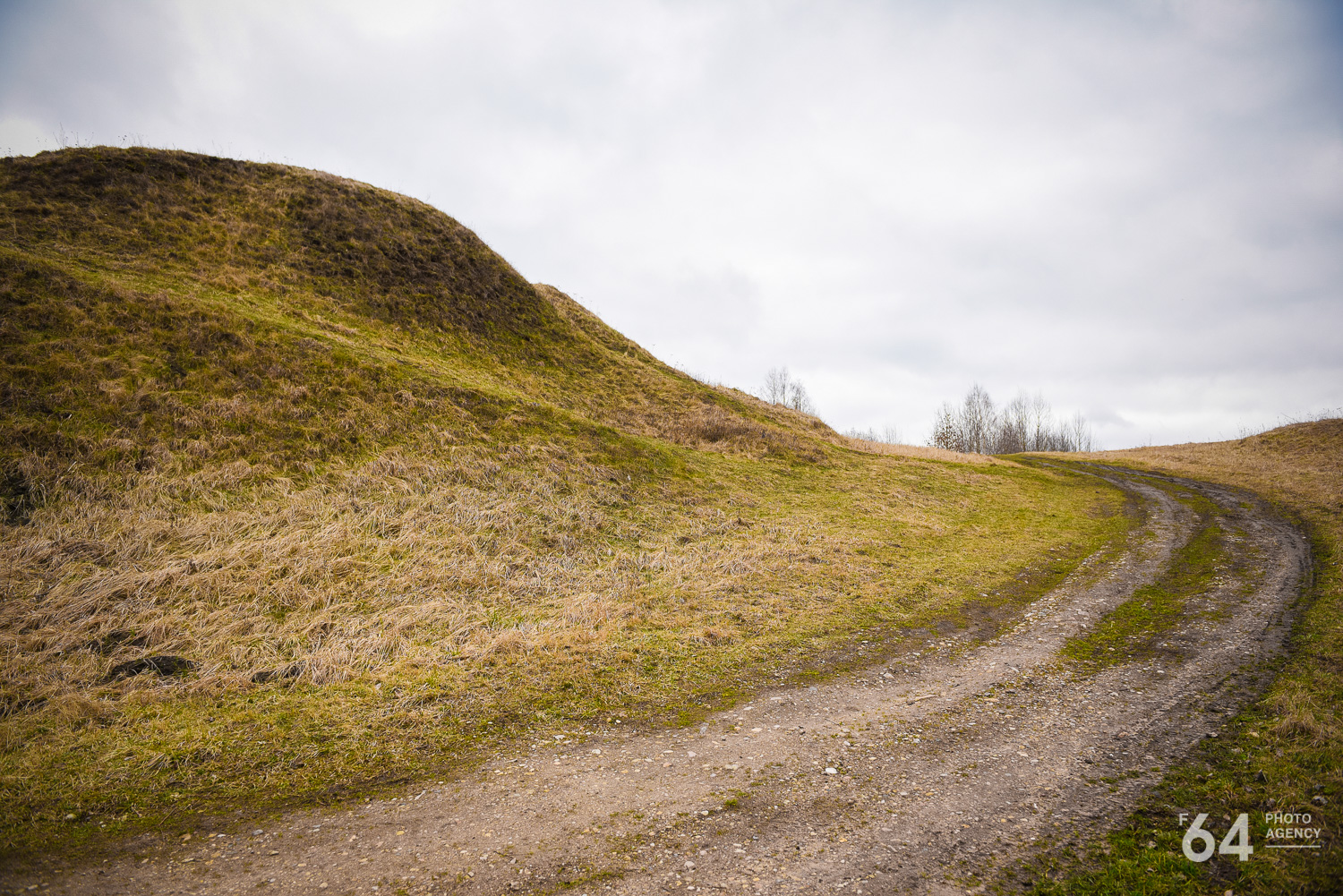
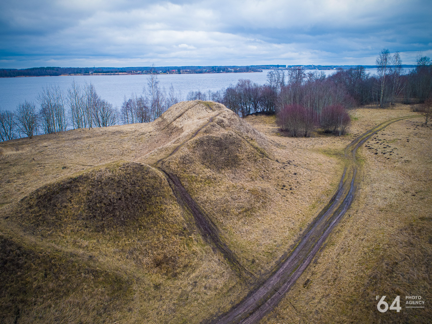
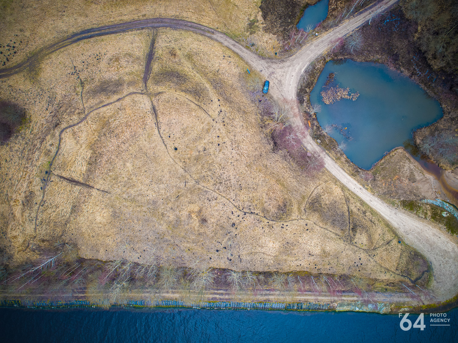
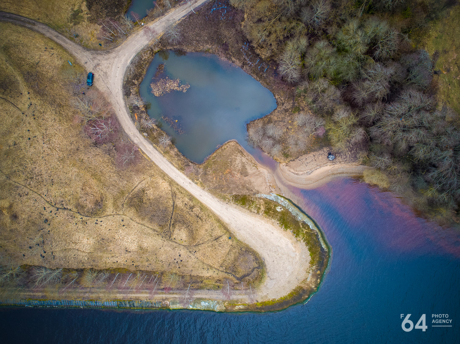
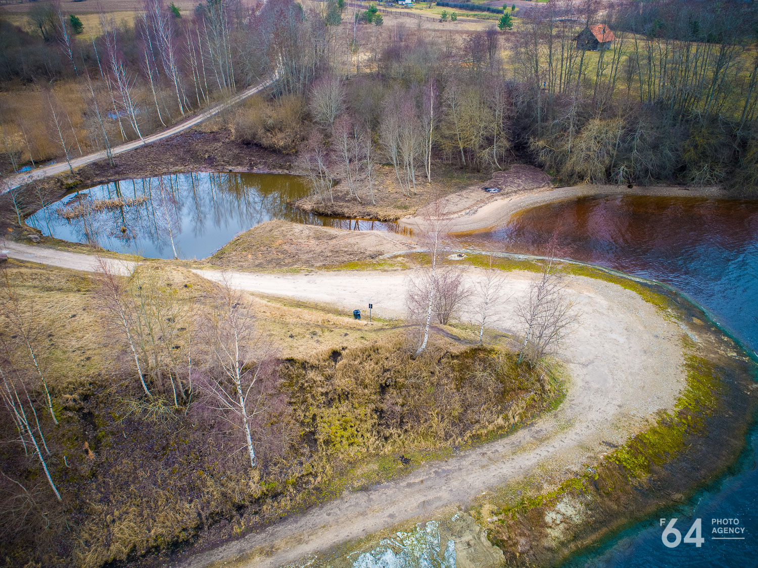
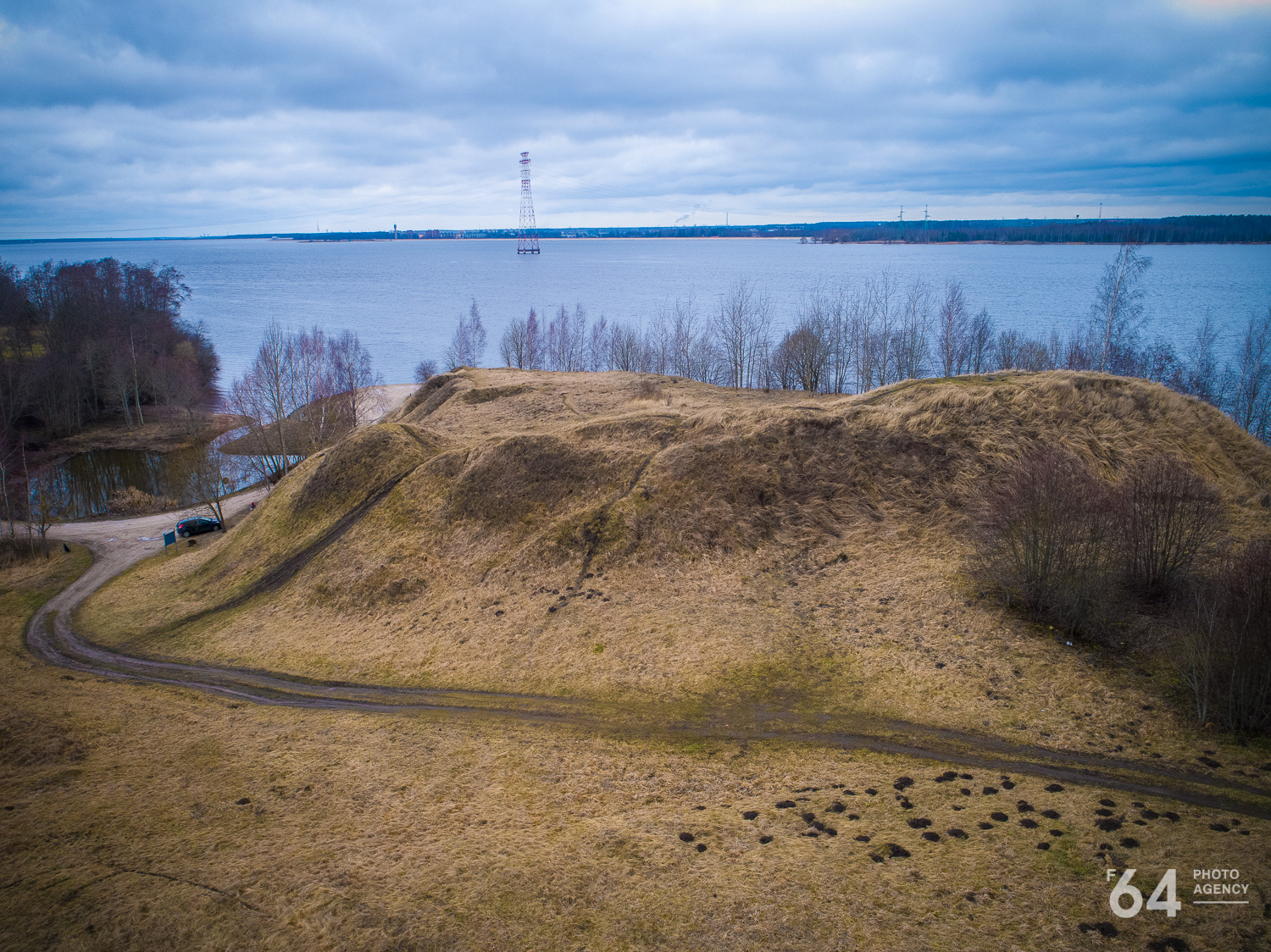
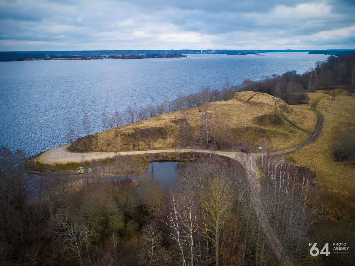
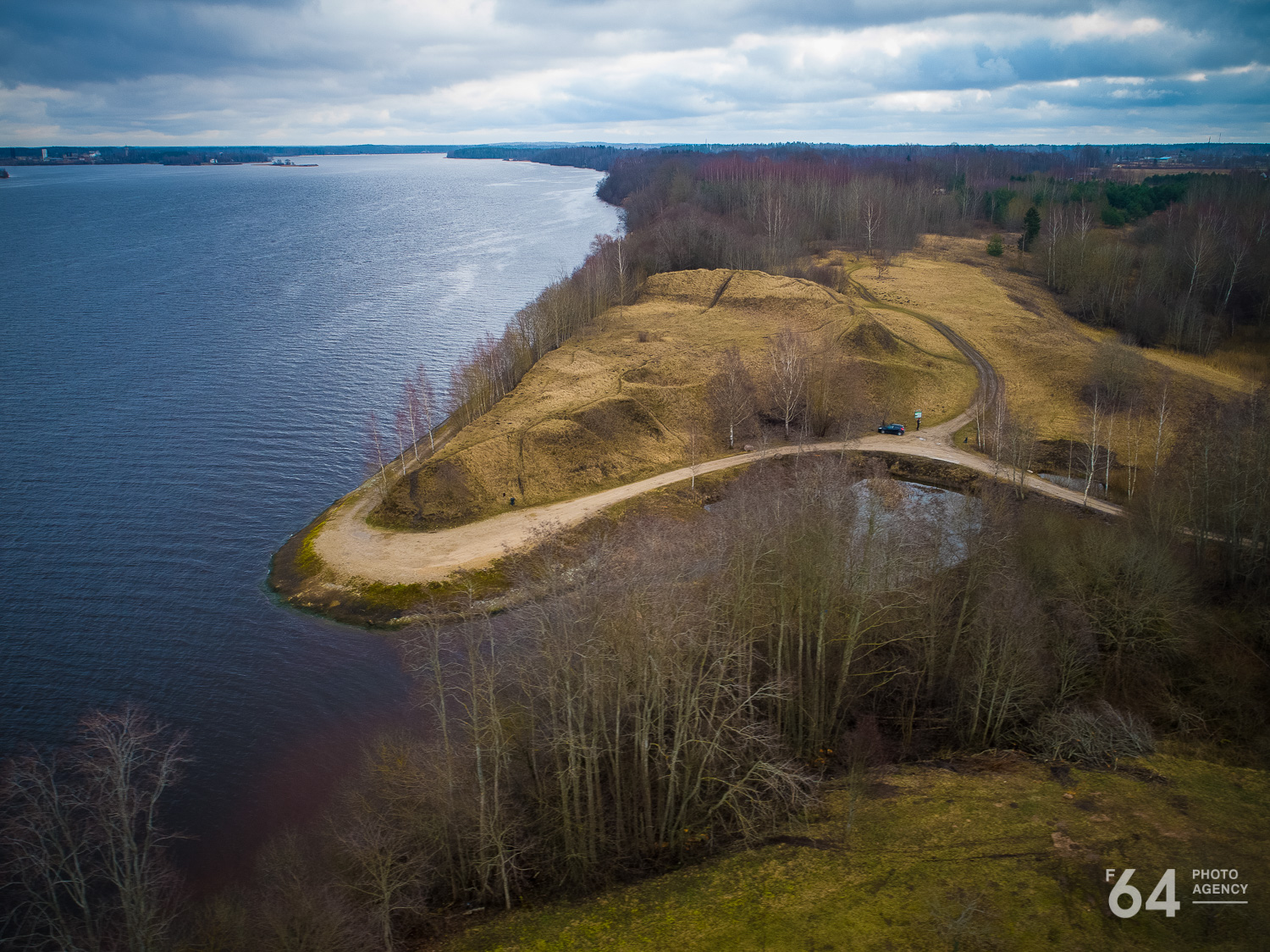
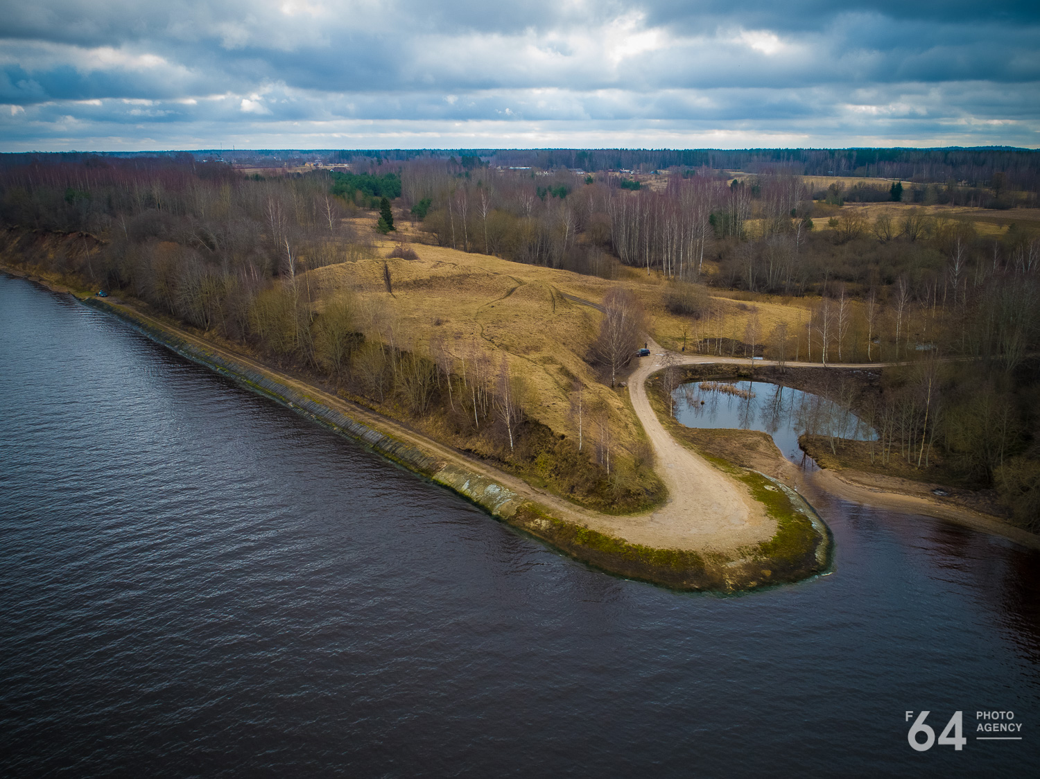
This Daugava hillfort was constructed on a 20 m high, steep rocky ridge where it was eroded by a small stream, forming two sides of a naturally elevated triangle. The last side is separated from the surrounding land by a 7 m high rampart, which is considered one of the highest earthworks among the Latvian hillforts. The hilltop is triangular and flat, inclining 4 m towards the west.
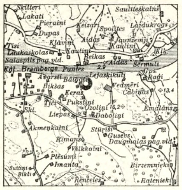
Area plan. Scale 1:75.000. Illustration from E. Brastiņš’ book.
During the first World War, the hilltop served the German forces as high ground and therefore took much damage. Trenches and shelters were dug into it. The earthworks were especially damaged. Some of the trenches have already been closed and the hilltop prepared for ploughing.
The cultural layer is rather deep and contains particularly many pottery sherds. Most of them are wheel-thrown and decorated with a wave pattern. Metal objects and coins are also among the finds.
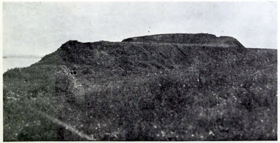
The hillfort from the west. Illustration from E. Brastiņš’ book.
The hill is situated in a scenic spot with a view over the Daugava waters. On the opposite bank of the Daugava, the Spolīši hillfort is visible 2 km away. In the other direction is the nearby Sakaiņi hillfort. Looking at the Daugava here surrounded by hillforts one may think that an uninvited Viking boat could not pass unseen. For this reason, there may be truth to the opinions of those historians who posit that the “great water route” from Scandinavia did not go via the Daugava, but through Lake Ladoga. Of course, the proximity of the hillforts to the Daugava here is not evidence by itself.
The first data on this hillfort was collected by Bielenstein. Later it was described by other researchers of our homeland. Despite that, there is no record of an archaeological survey of the hill.
A legend says that a castle once sunk into the hill. Another legend talks about battles against the Dole island.
- Brastiņš, E. Latvijas pilskalni. Vol. 2, Zemgale un Augšzeme. Riga, 1926.
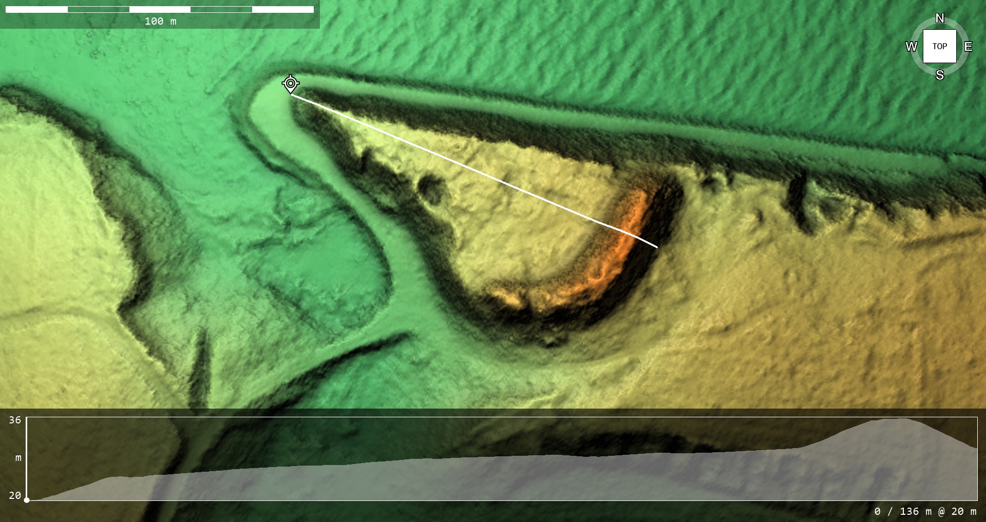
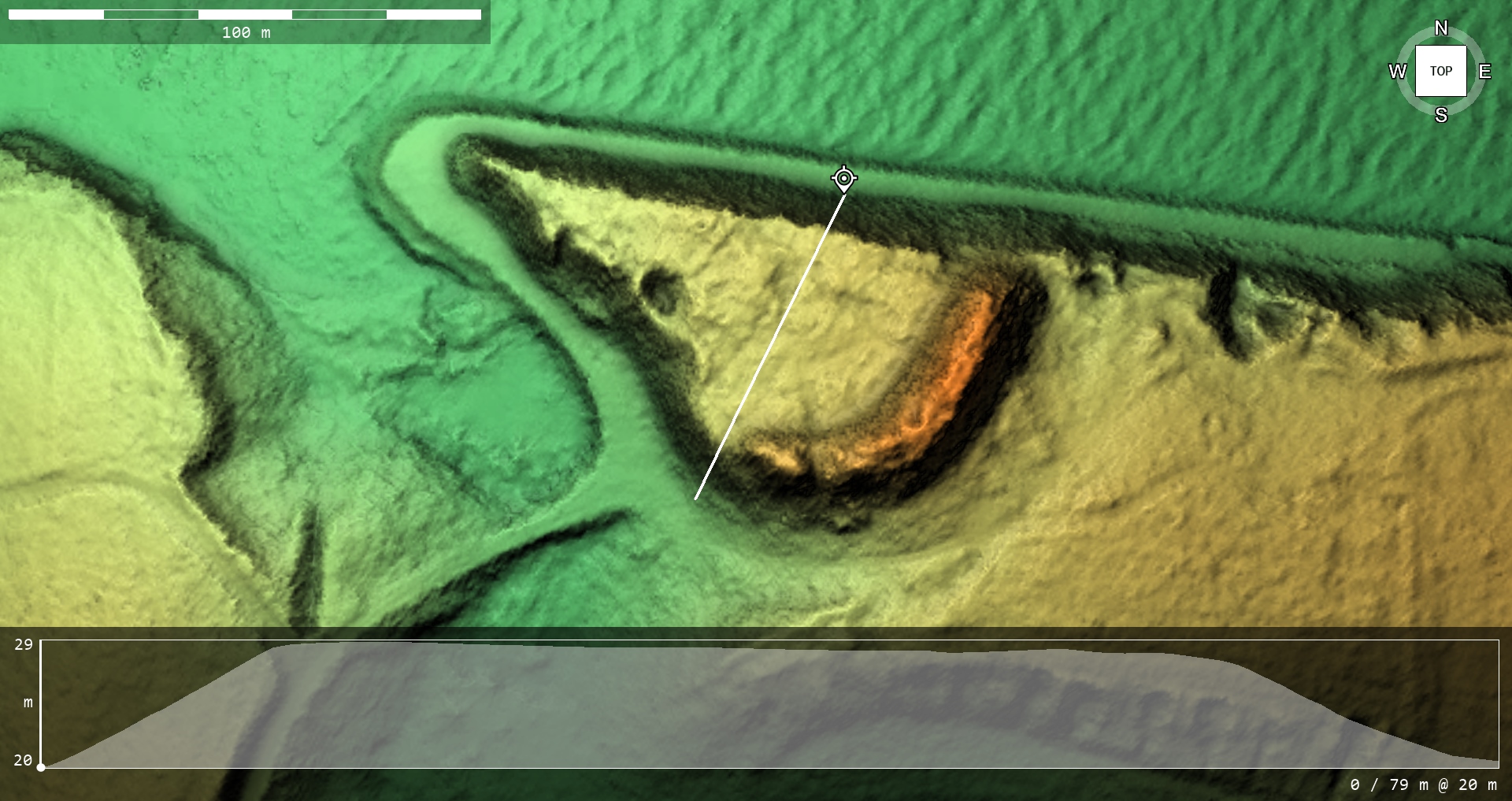
Photo: G. Kalniņš. 06.05.2023.g. and 30.08.2017.g.
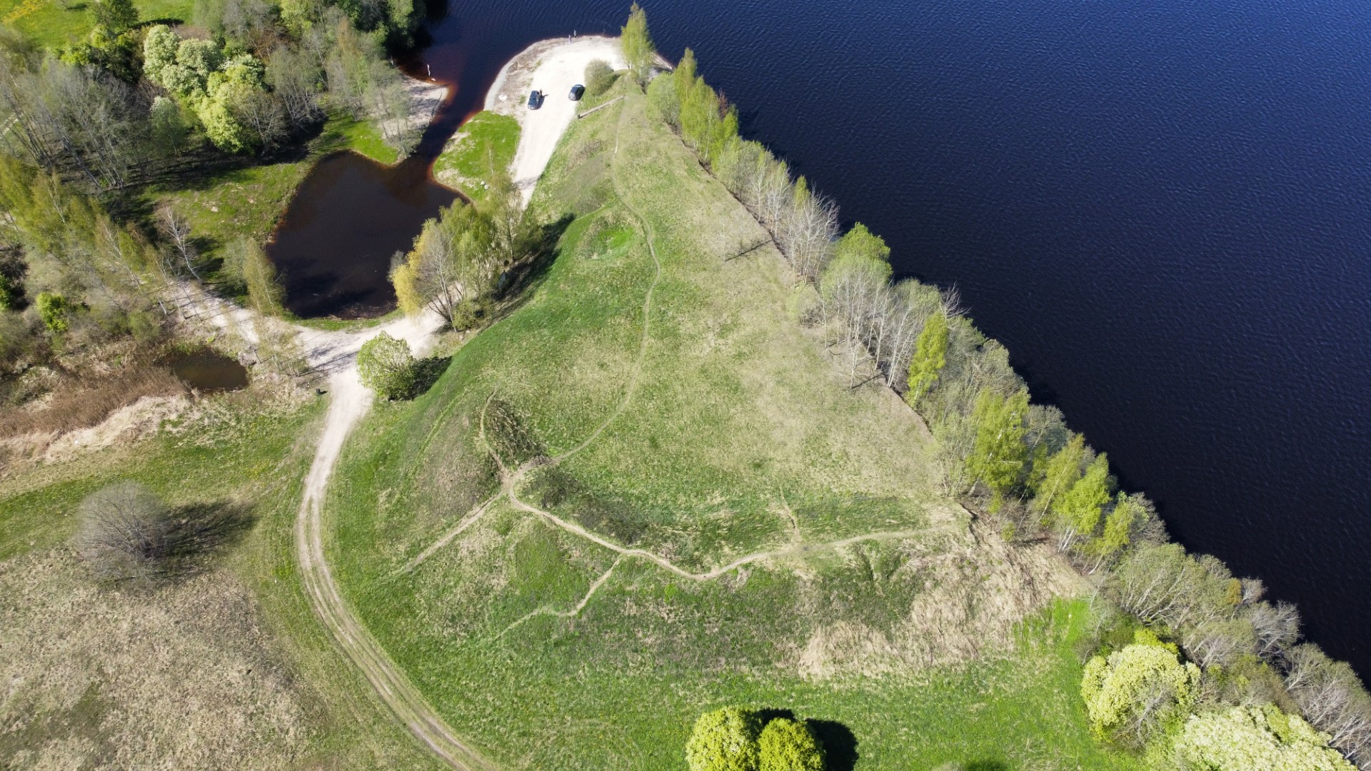
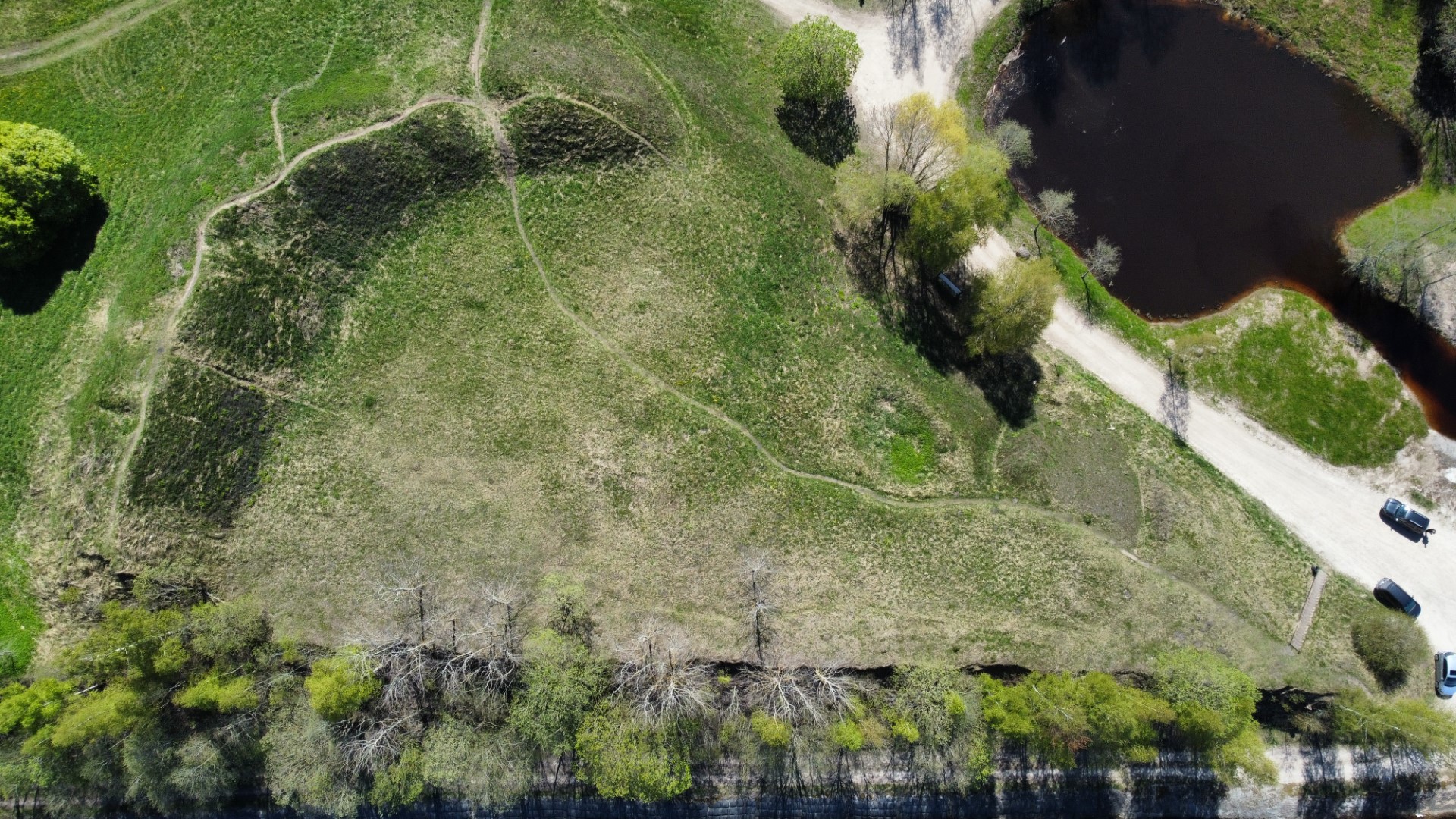
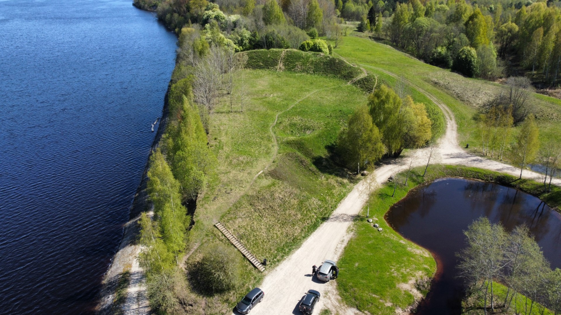

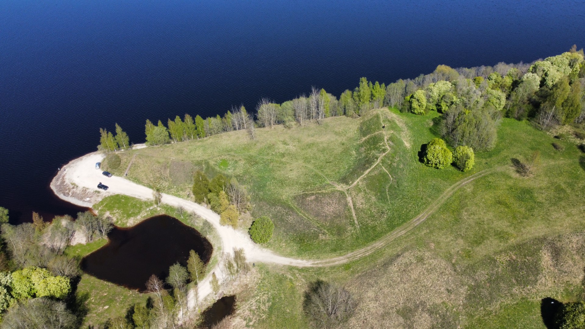
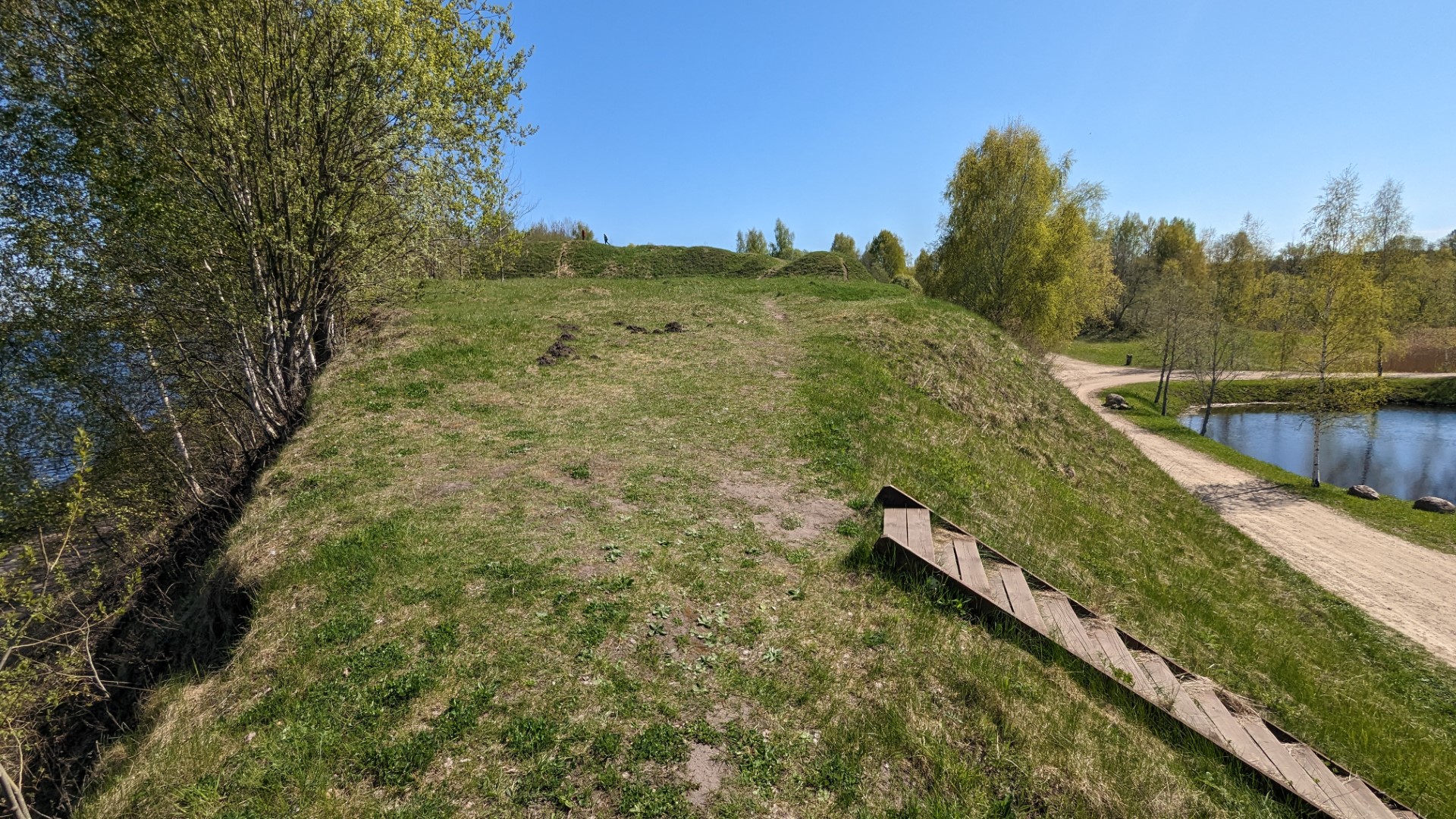
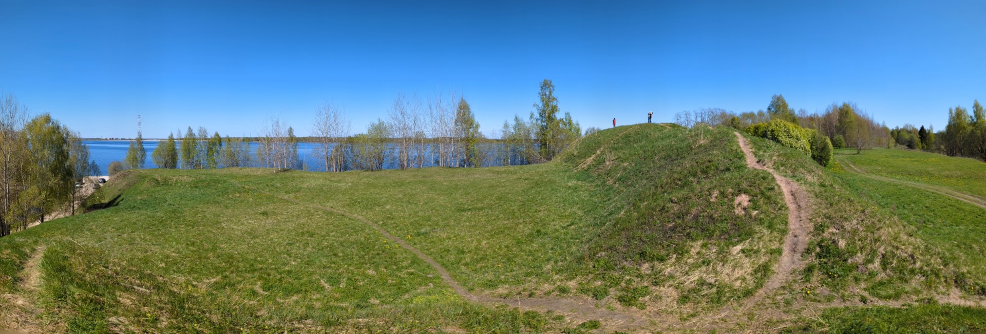
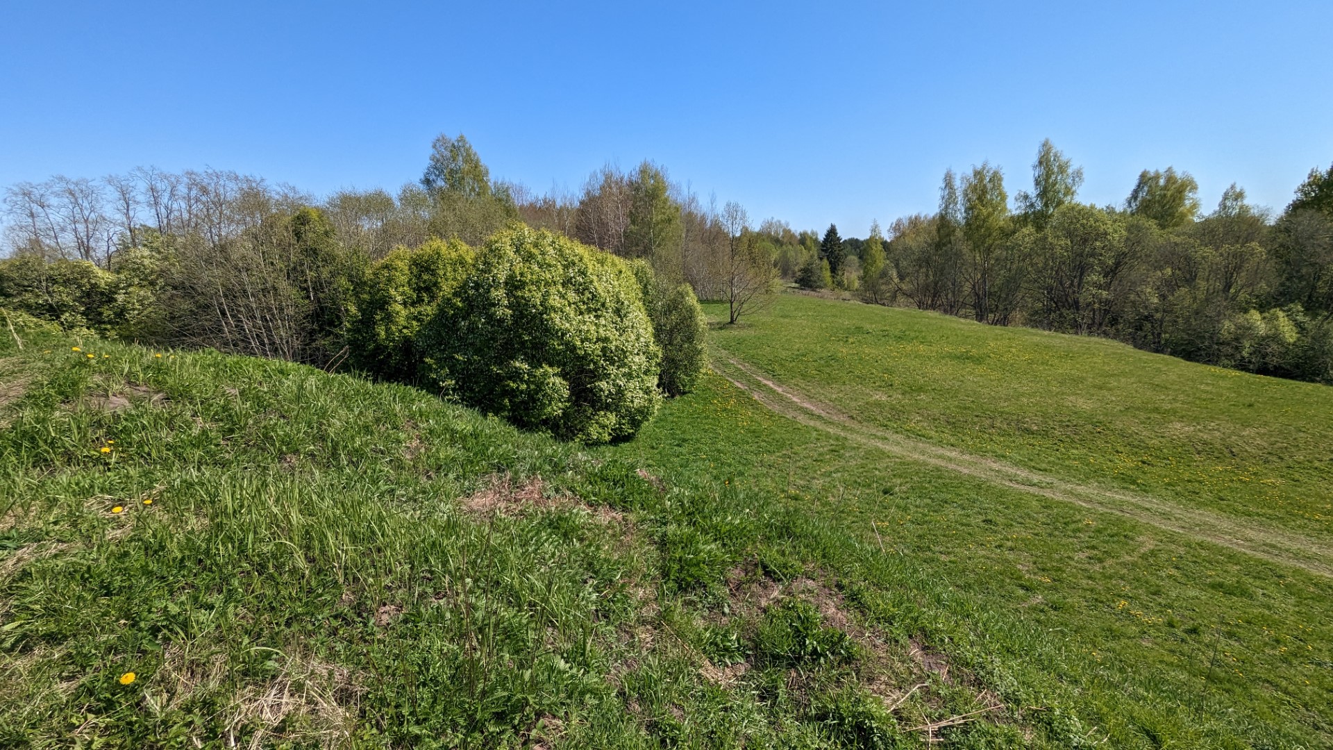
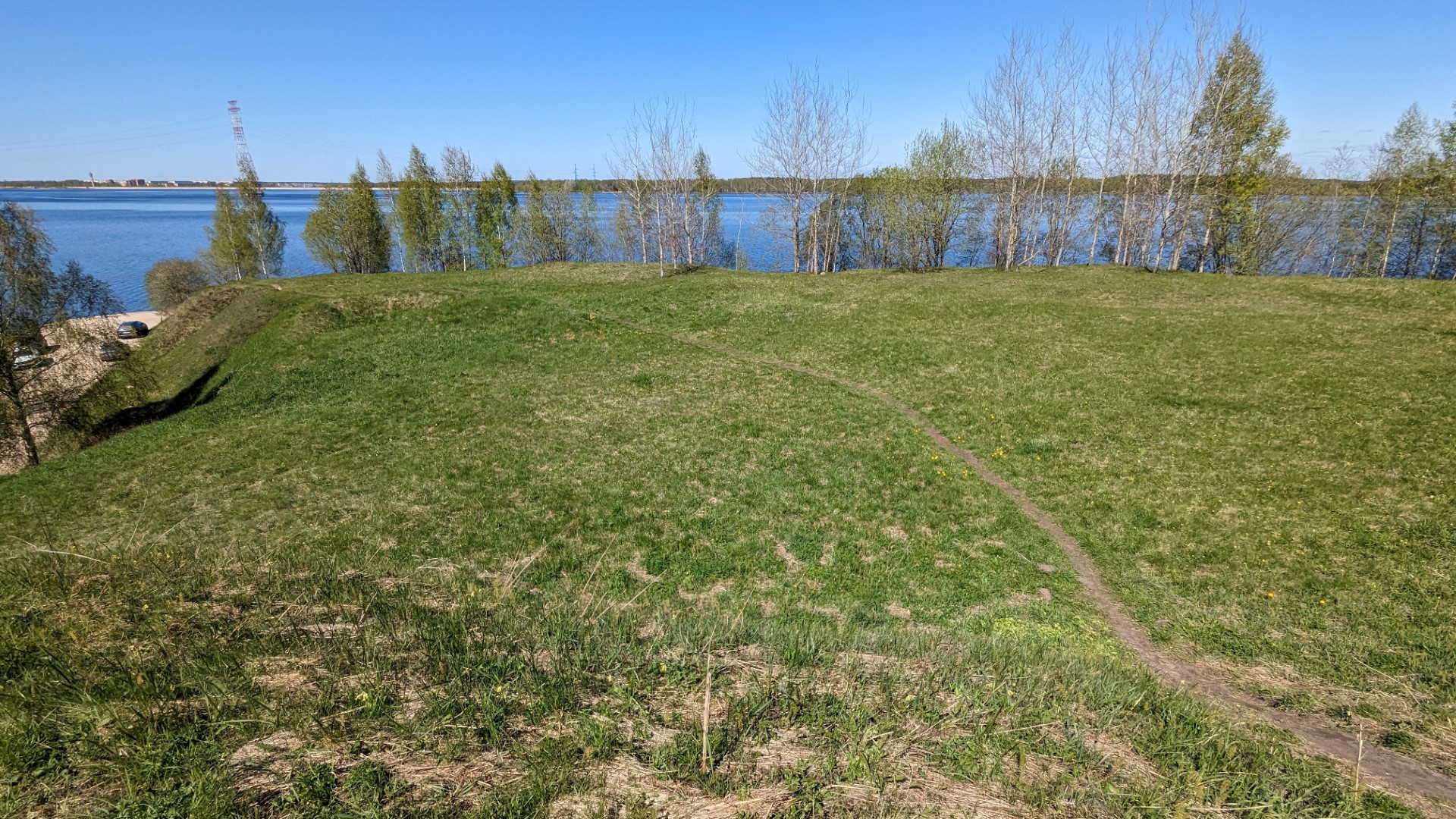
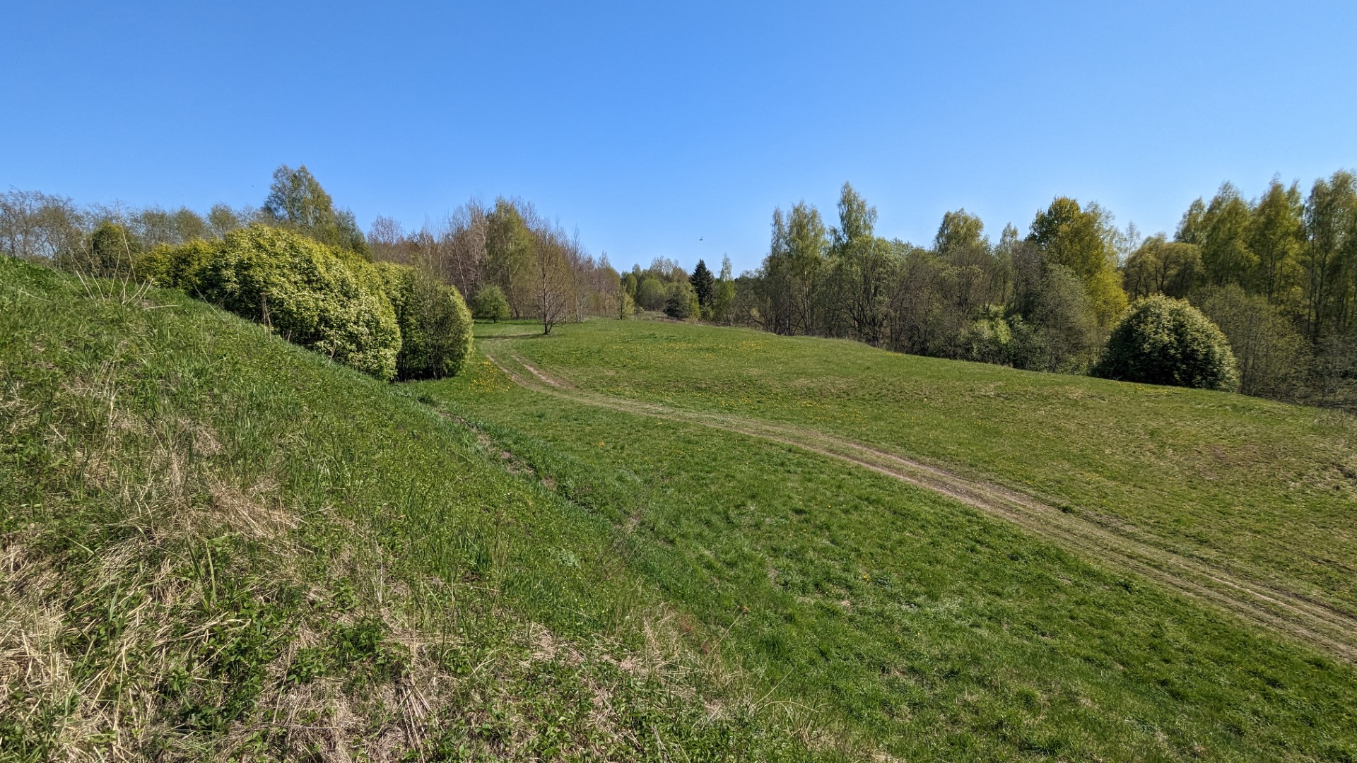
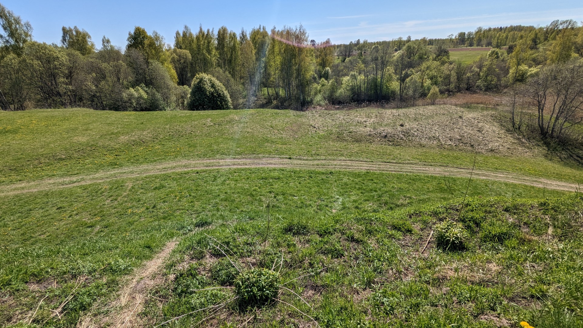
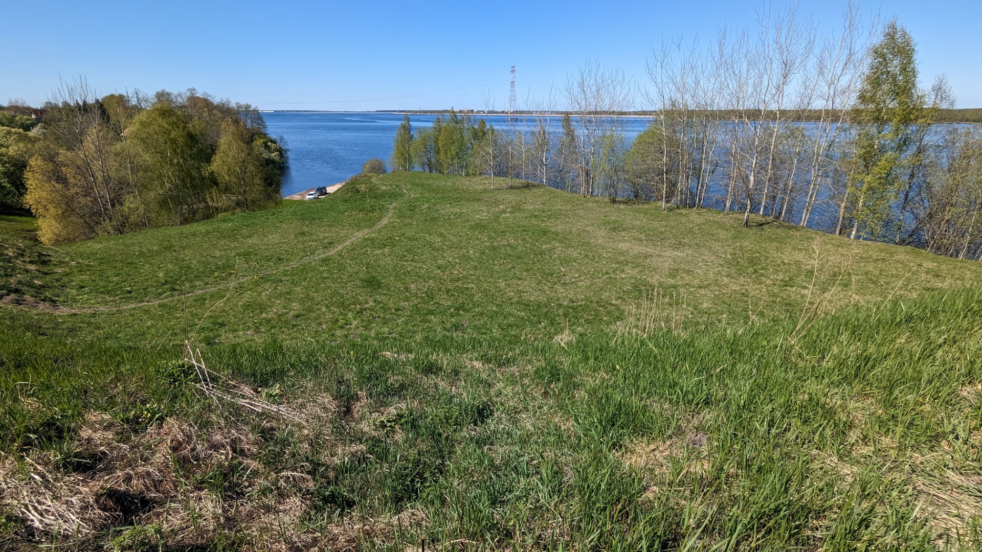
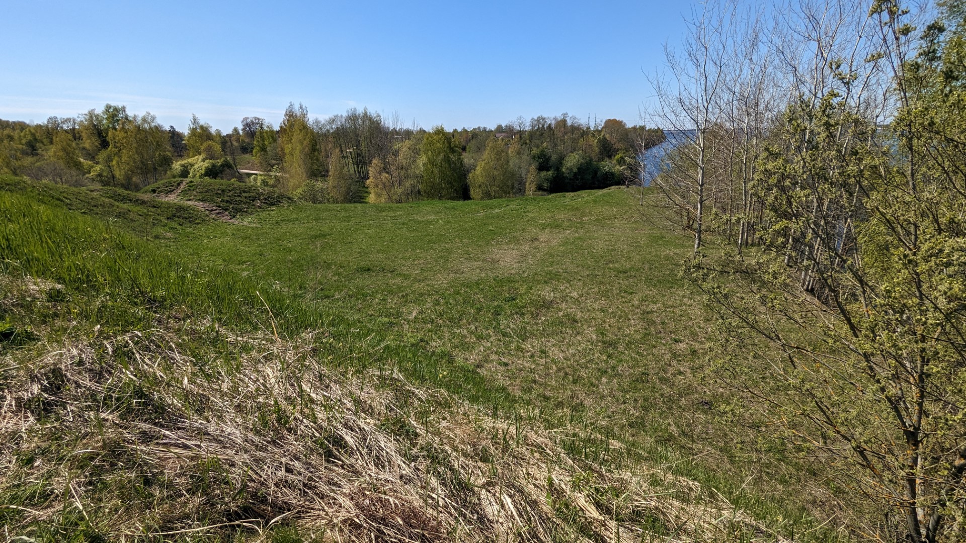
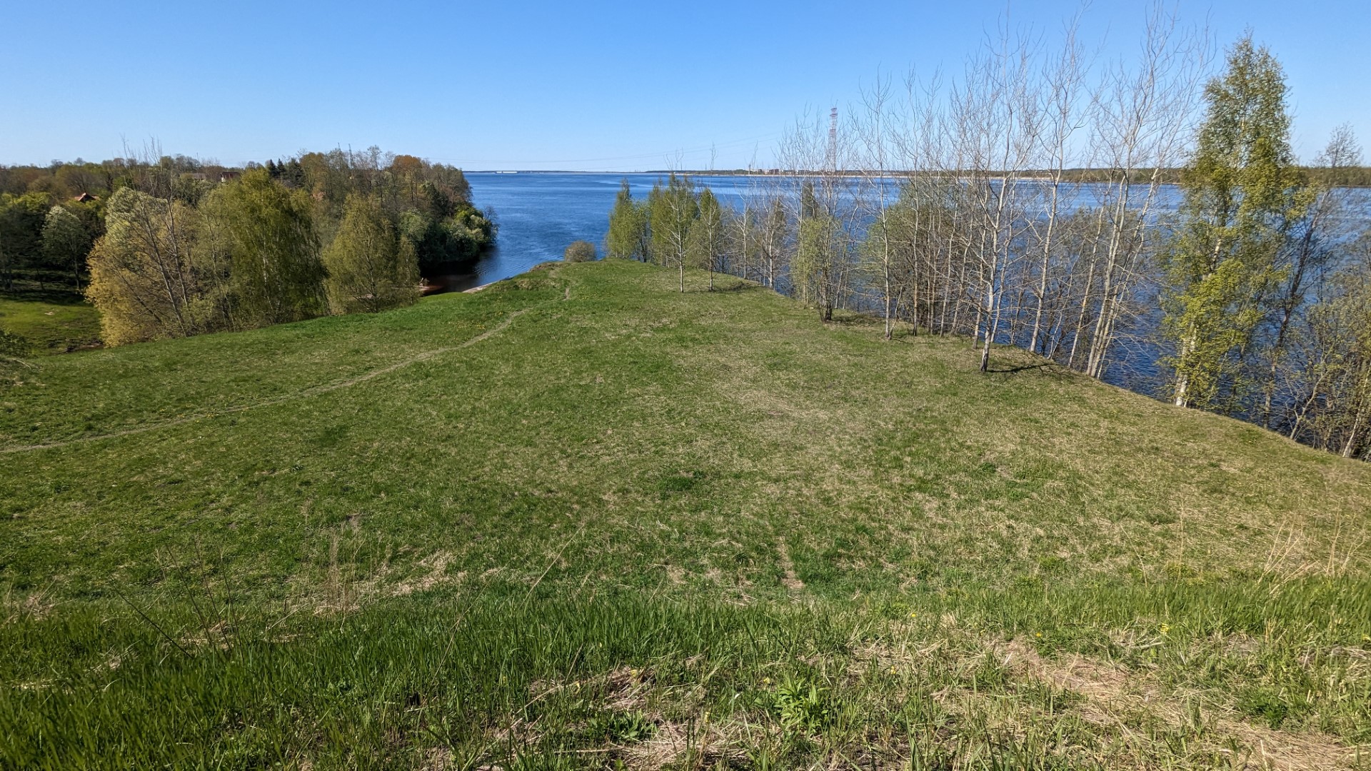

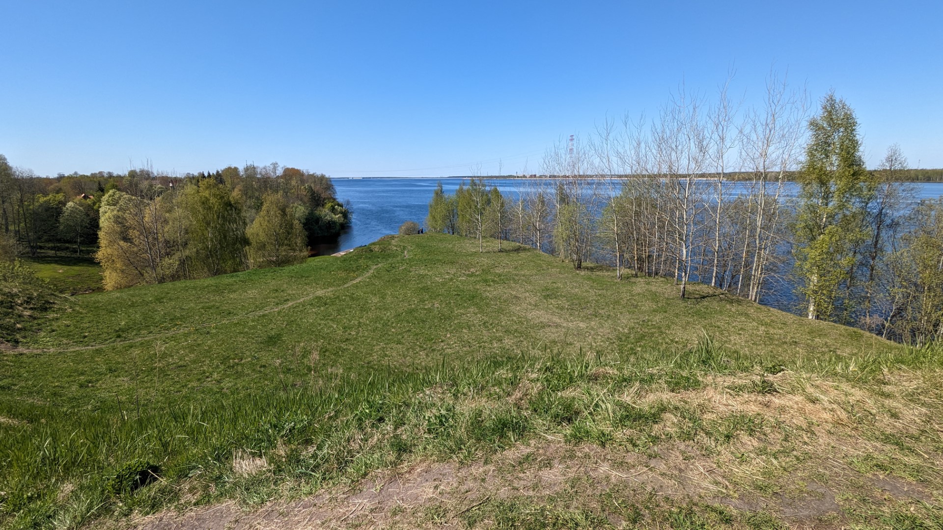
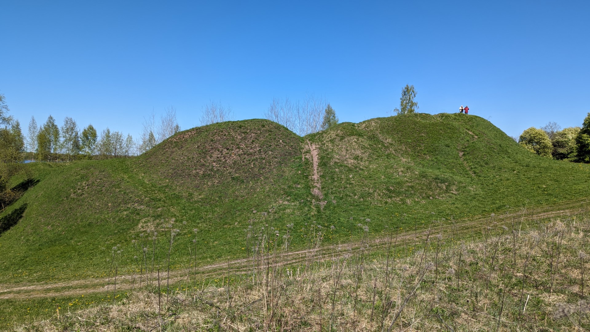
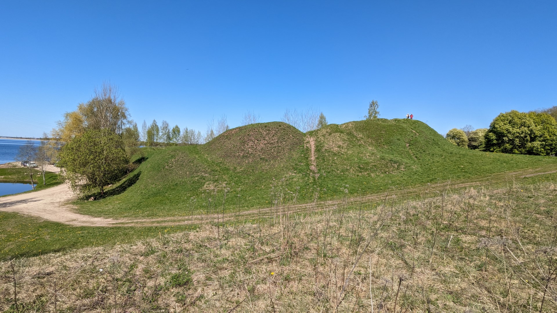
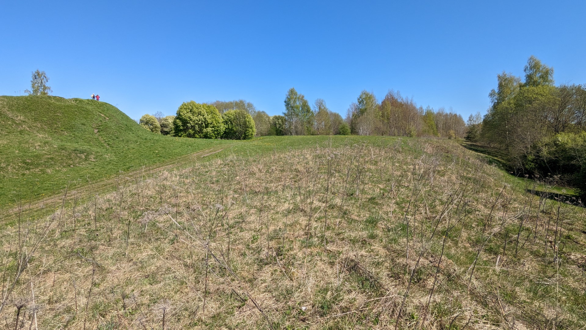
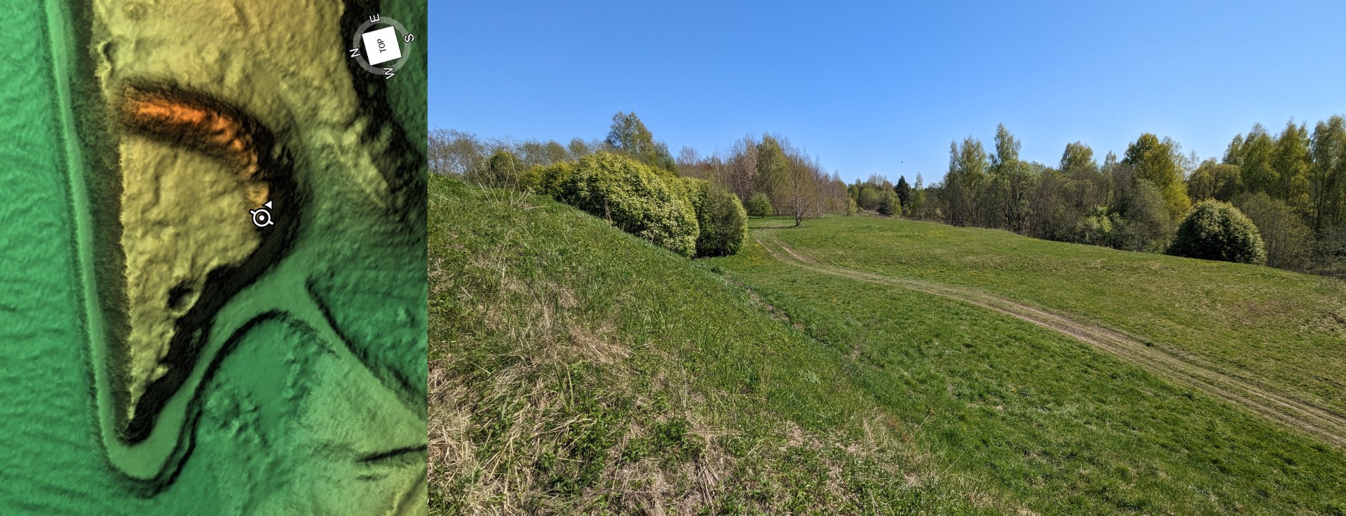
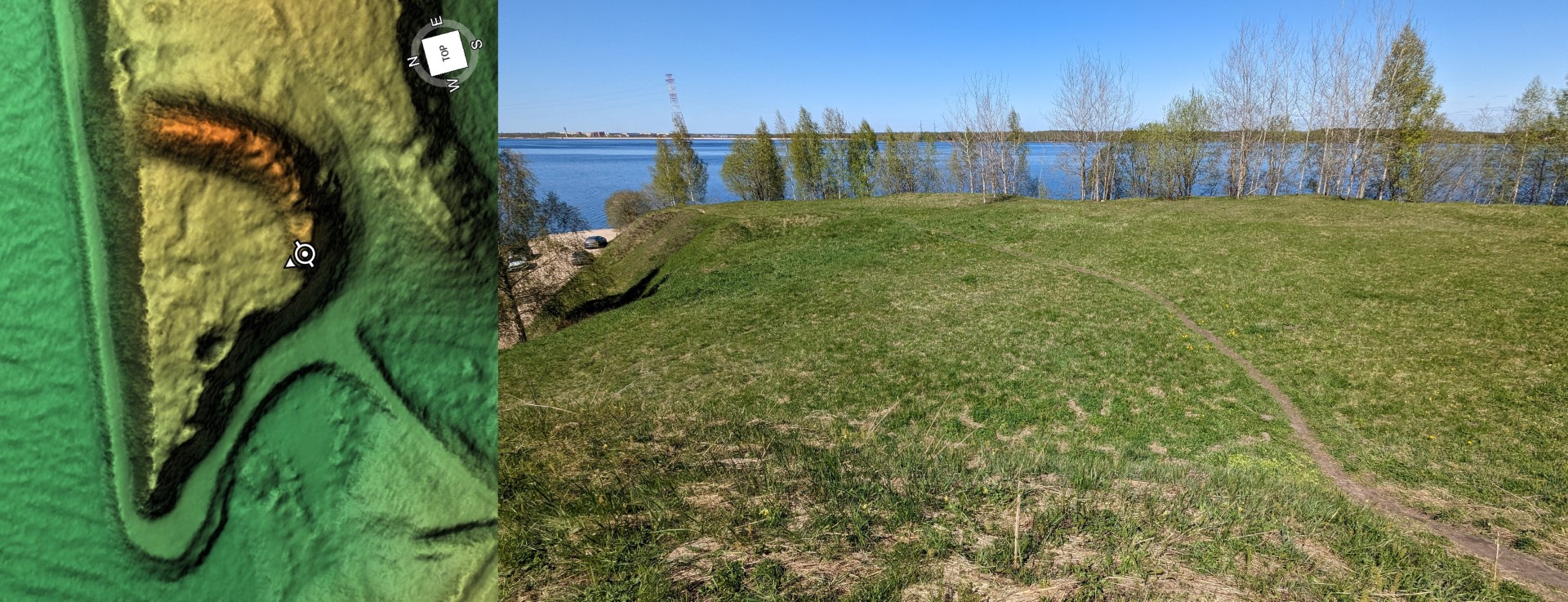
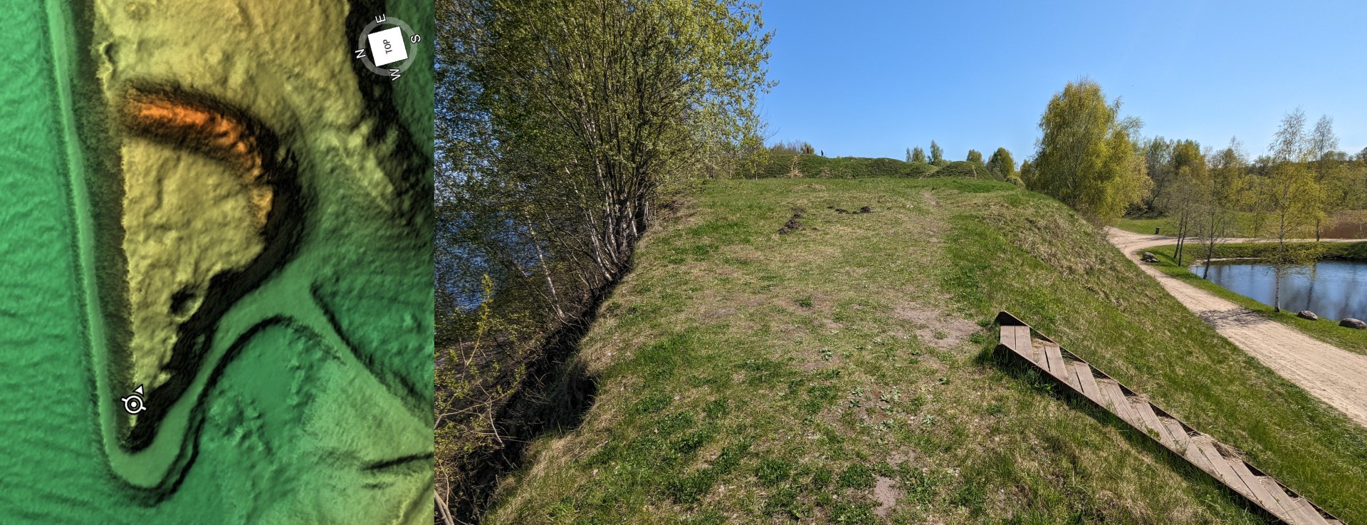
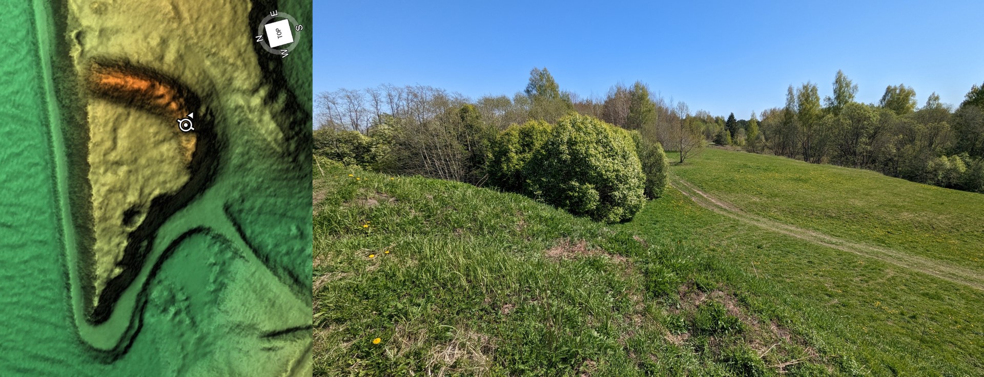
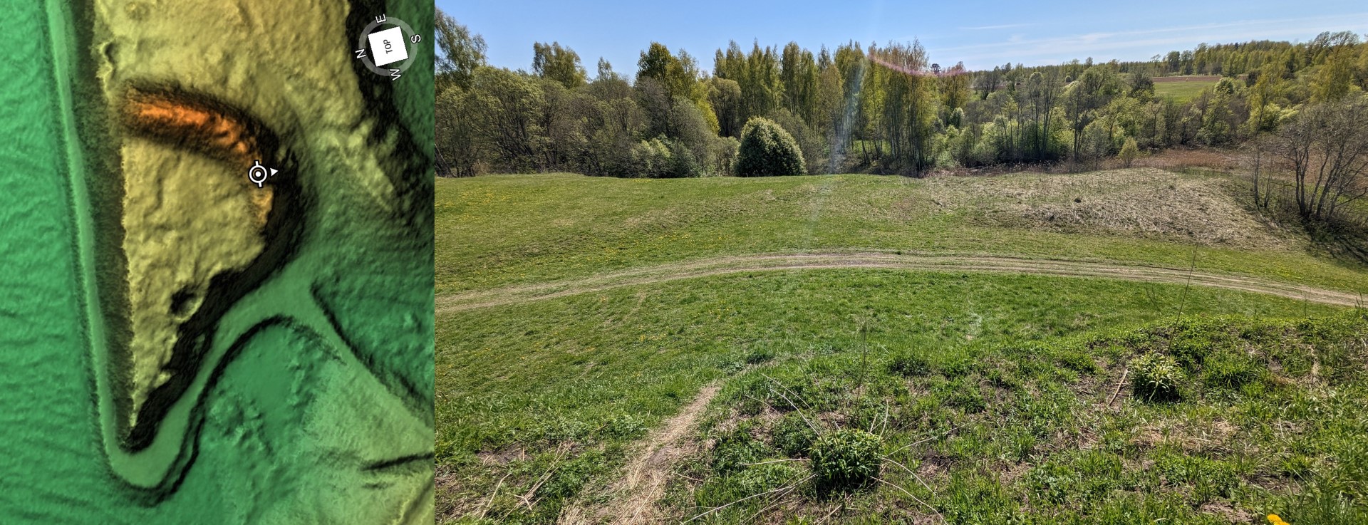
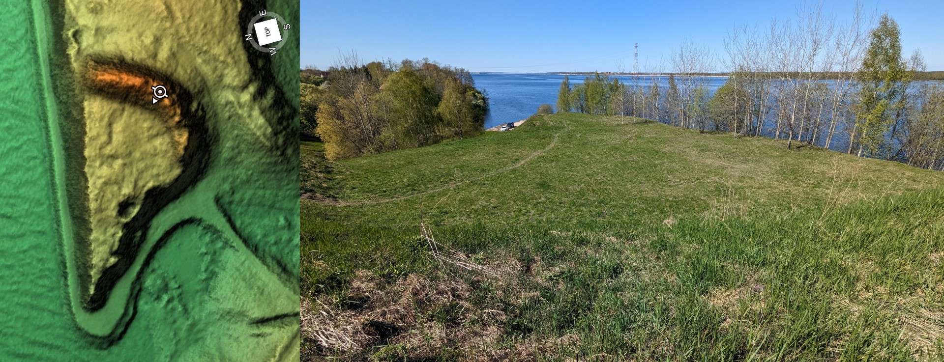
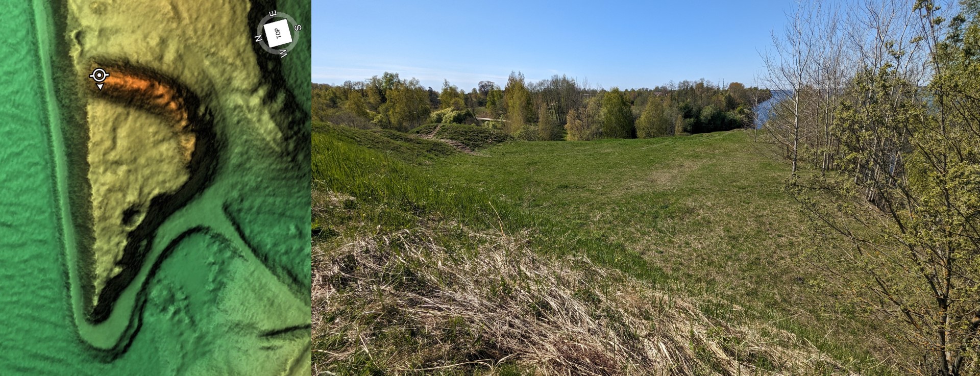
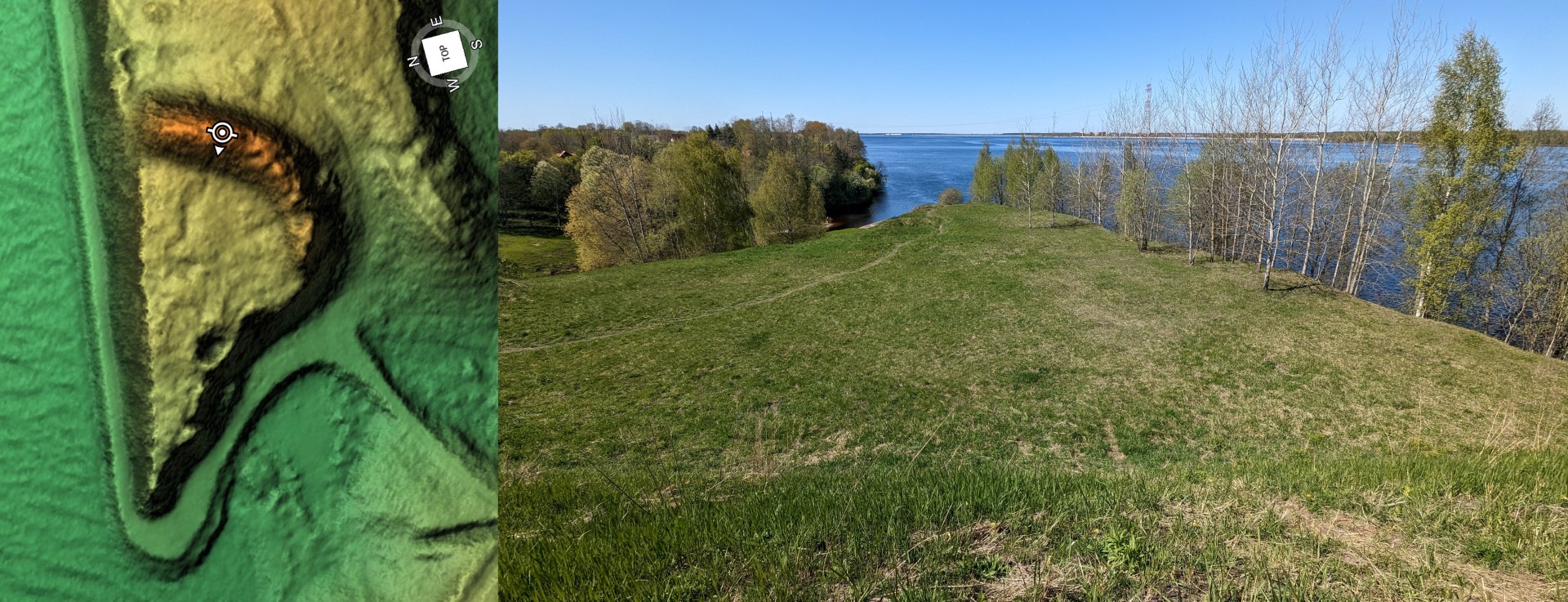
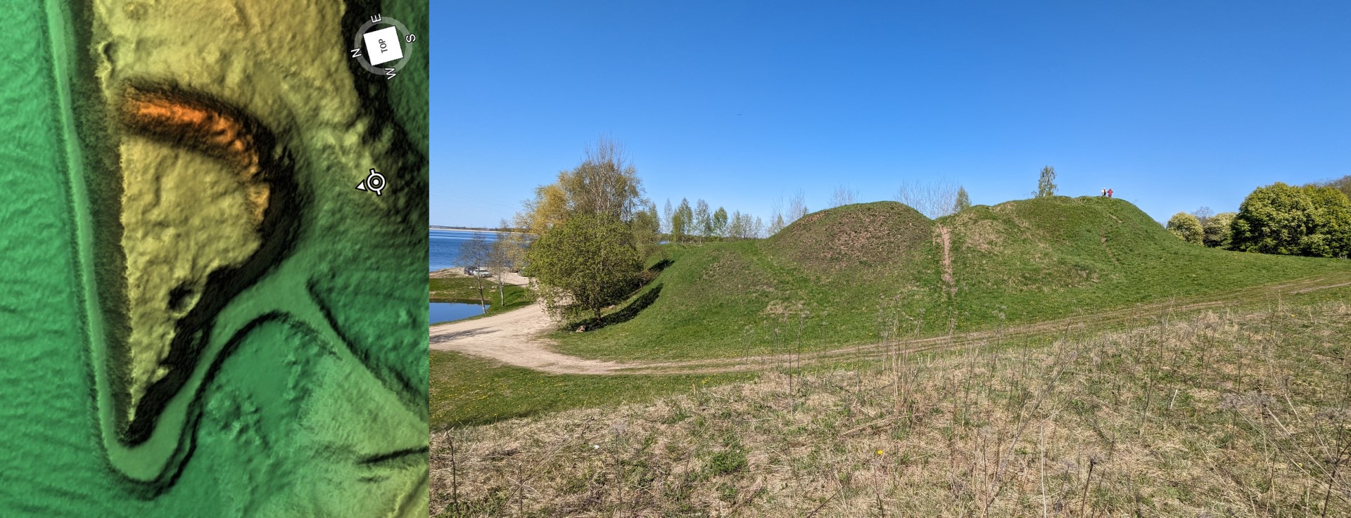
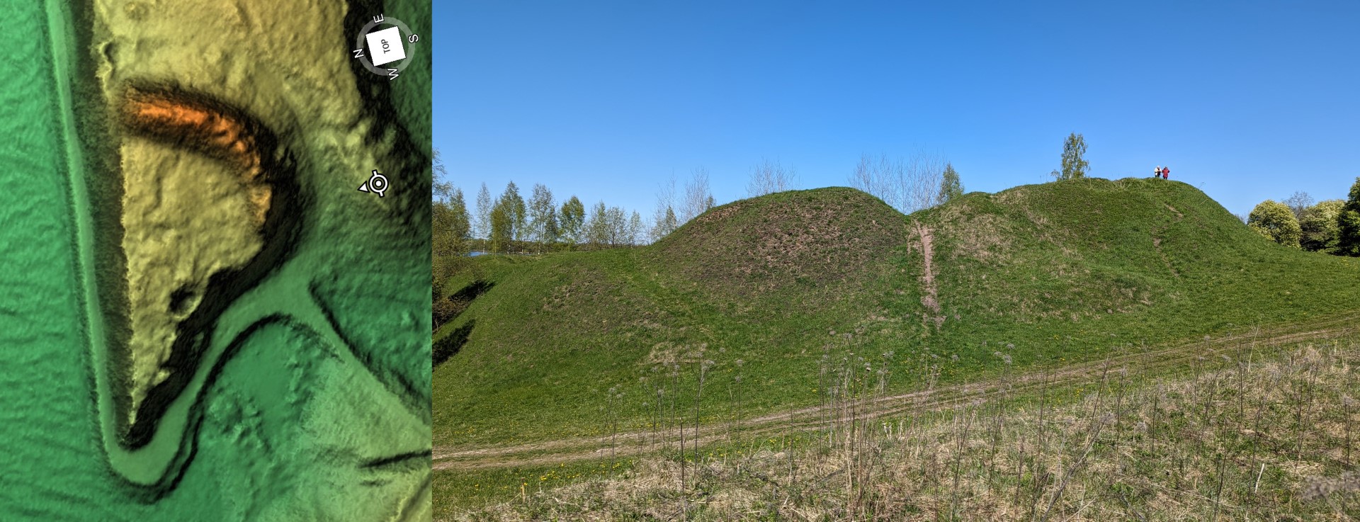
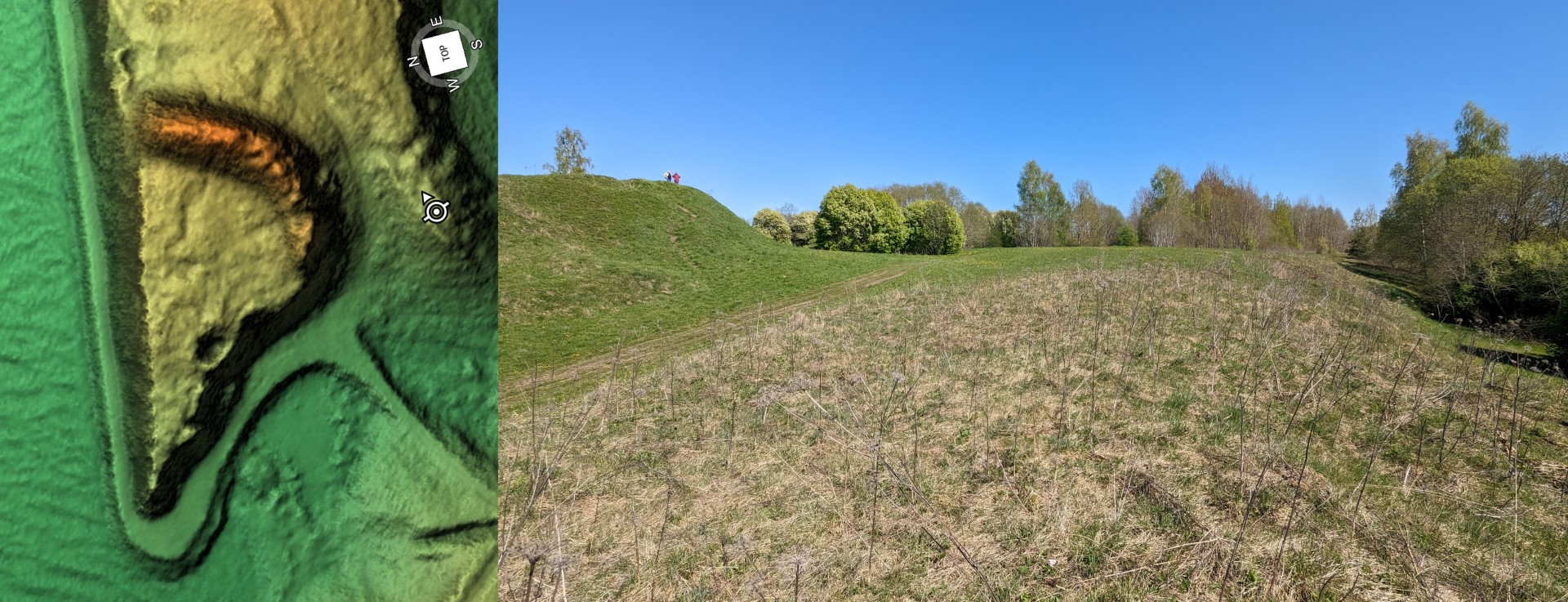
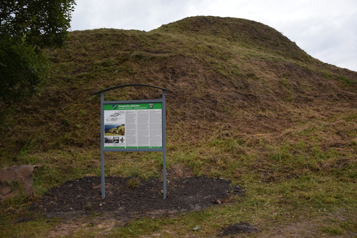
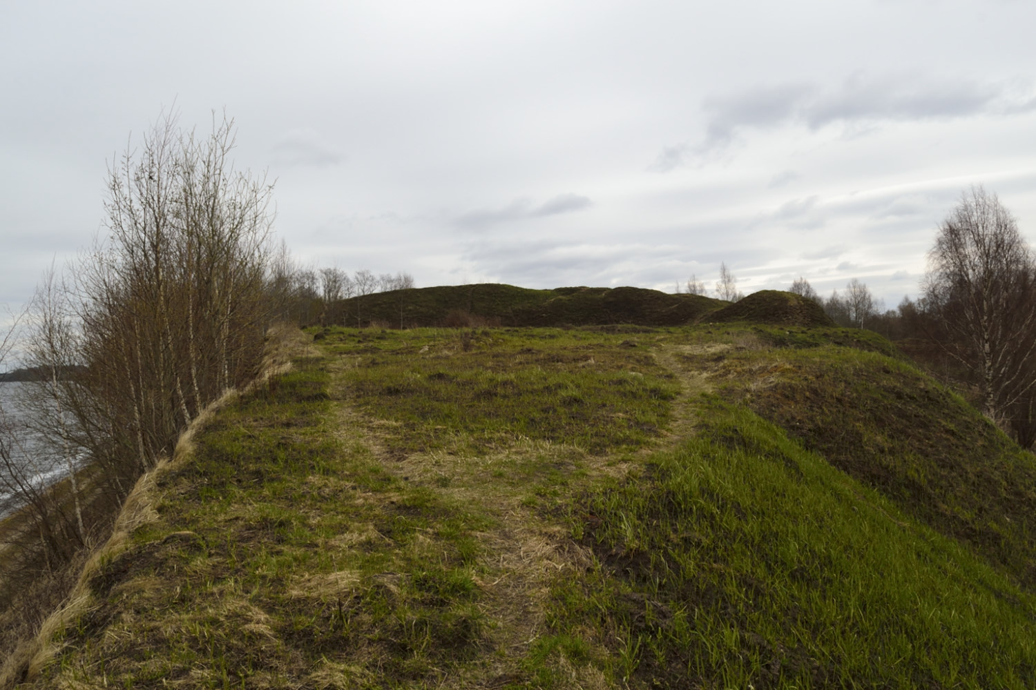

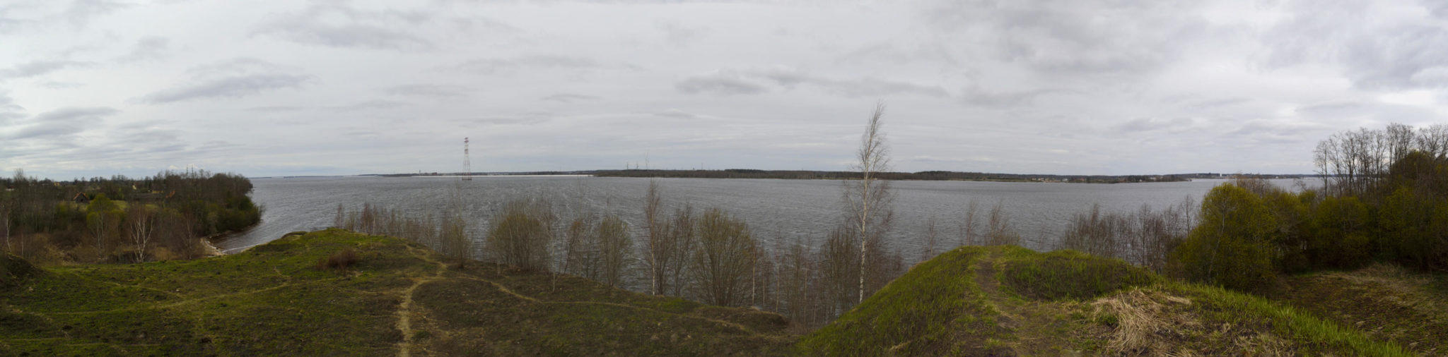
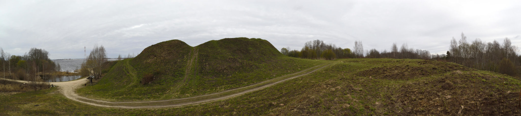
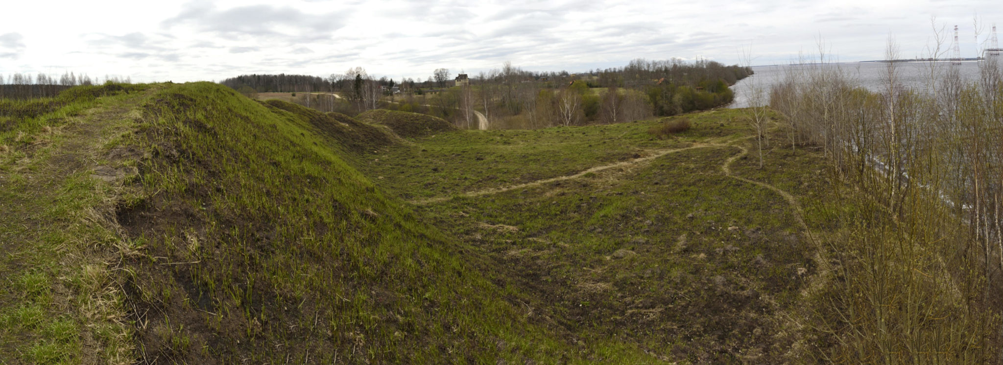
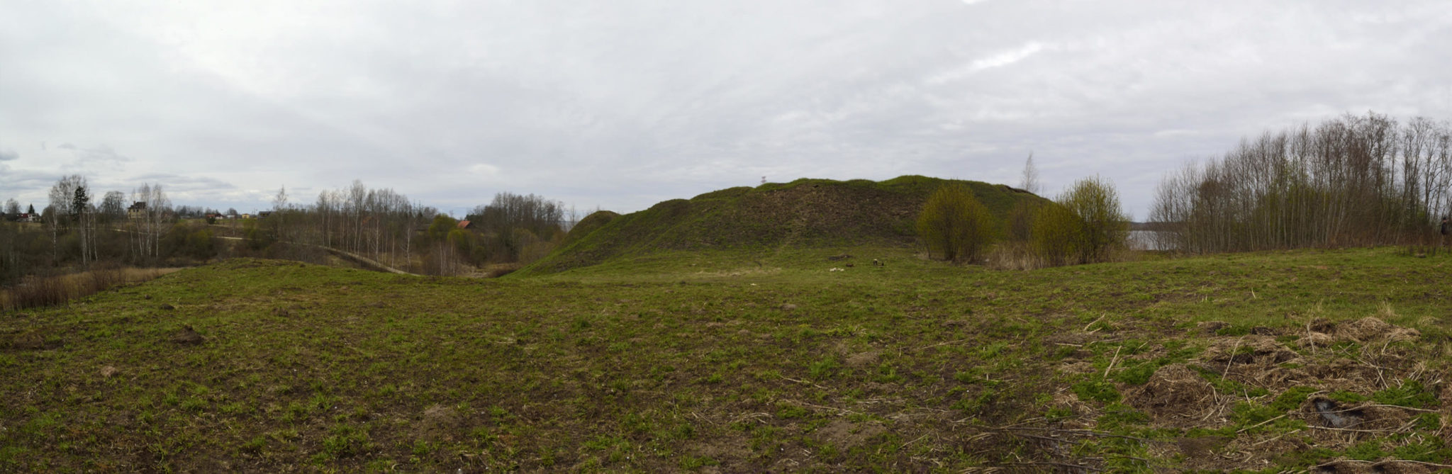
Photo: Photo Agency F64. 03.03.2020.g.